Author Archives: Brian Sweeney

About Brian Sweeney

Computer programmer, blogger and home-brew software developer with a penchant for back-country adventures, old metal, black coffee and micro-brew.

Autumn Adventure

Last Sunday Deb, Ziehl and I decided to head up north for a day hike, some cool temps and some fall foliage.  Our specific plan: Hit the road at 7 am, arrive at Lafayette Place around 9 am, and start hiking.  Really, the plan was to wing it.  We had the vague notion that we should hike Kinsman, since none of us had done it before, but the details didn’t fully evolve until later, during the course of the hike.


As usual, our seemingly under-ambitious goal of leaving at 7am turned out to be just a bit beyond our reach.  We stopped briefly for bagels and coffee, but the real problem was Boston – some crazy event was under way and they had apparently closed just about every major road between my house and the highway.  After about an hour of meandering through downtown Boston, we finally made contact with I93 and the day began!

One of the strengths of the Kinsman neck of the woods, is that it ascends precipitously from the highway, but then levels off right around Lonesome Lake.  Once you get up to the lake (about 1.5 miles) you are completely isolated from any highway sound, and really all other vestiges of civilization.  It’s just one of those great hikes – it’s easy to get to, and it seemingly instantly transports you into the sticks.  We just about flew up the first mile and a half, excited to get to the good part, after which we began to take our time, and take in the view.
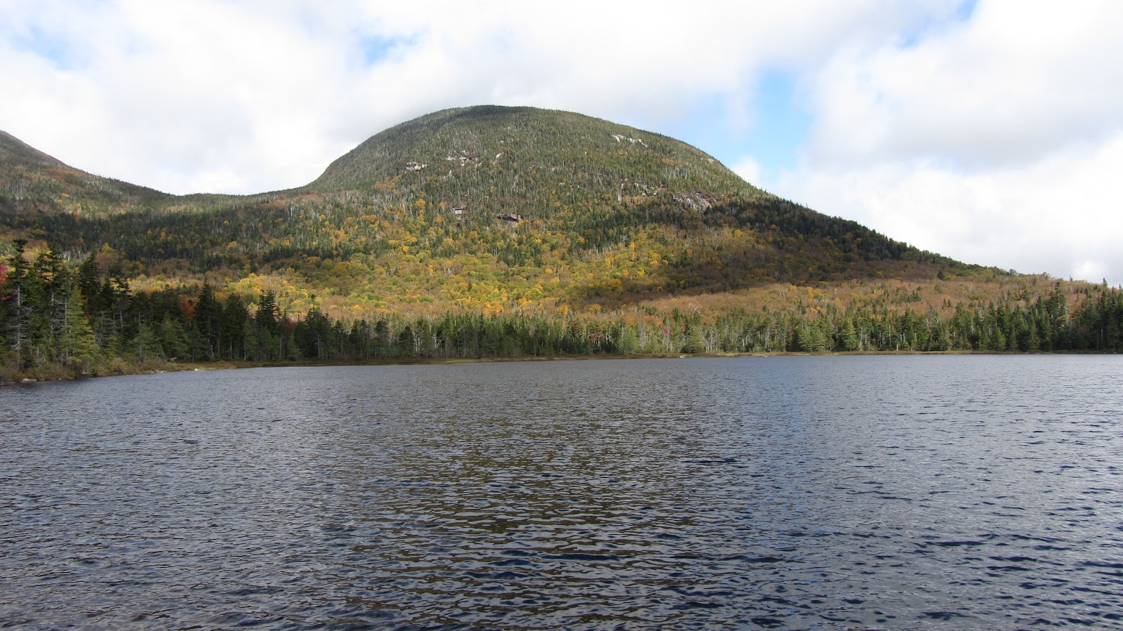
Lonesome Lake
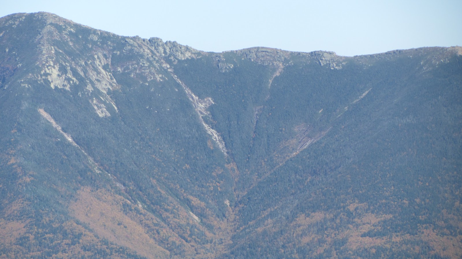
Franconia Ridge, from Lonesome Lake
Panorama at Lonesome Lake
Lincoln
Franconia Ridge from Kinsman
Panorama of Franconia Ridge
As usual, I couldn’t resist the urge to
snag some ski beta…the season draws
near…
More slides…
Flume slides


View Kinsman Ridge Hike in a larger map

You can see from the map, that we eventually settled on a short traverse of Kinsman Ridge, for the route back.  There’s a good bit of up down along the way – great interval training for the ski season!  We came back along the opposite side of the Lake, caught the sunset and went back down to the parking area by an alternative route.  The whole thing ended up being about 10 miles, with no shortage of diversity in terrain or scenery.  Plenty of mellow and flat areas intermixed with intense steeps made for an enjoyable, if not high output day.

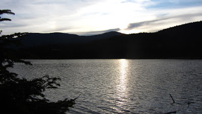
Sunset over Lonesome Lake
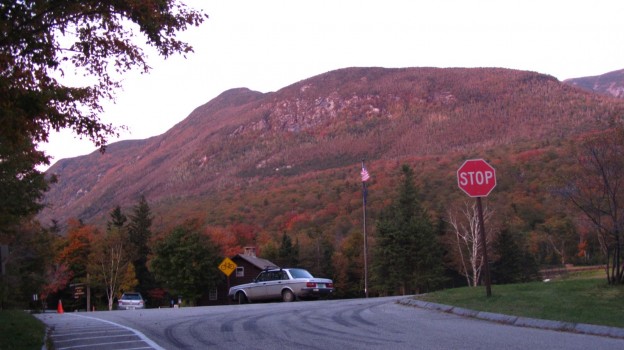
An idyllic autumn, New Hampshire scene.
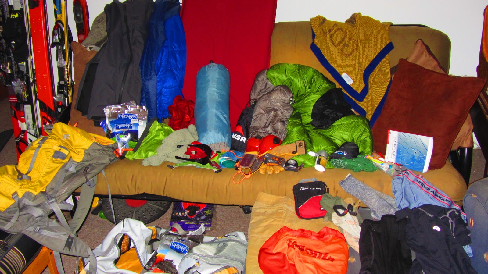
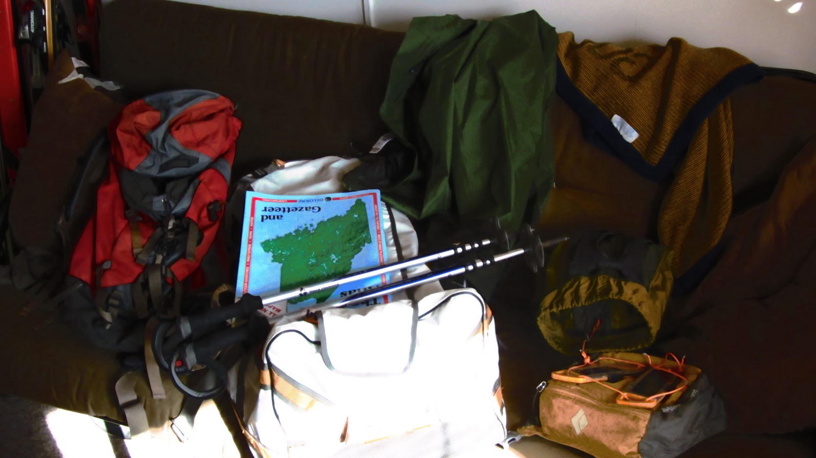
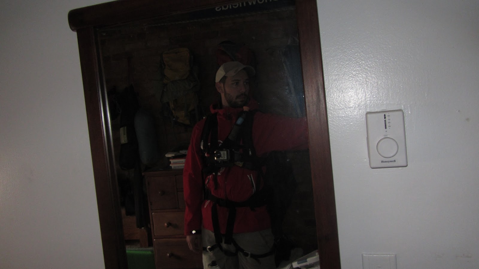
And on that, note Ziehl and I are packed and ready to for a multi-day, multi-mode (offroad, hike, and kayak) tour of the Bigelow Preserve.
Packing…
Ready for action!

The Bigelows, Revisited

It’s been a while since I’ve been hiking, nearly a year since I’ve had the pleasure of visiting Maine, and even longer since I’ve been kayaking, so with these things in mind, Tripp and I hashed out a plan for a multi-day, multi-mode excursion in the Flagstaff Lake region.


The Bigelow Range makes for one of New England’s best ridge walks.  The only real shortcoming, is that it’s difficult to perform a traverse of the entire range (from end to end) without backtracking anywhere.  Last November, we made a traverse of the ridge starting from the Stratton Pond Brook area and descending well before the end of the ridge, simply because it did not require us to return along the same trails.  This time around, we hoped not only to make a lengthier stay in the region, but to see more of the range and return by a totally novel route.

From these stipulations, we came up with the following template:

  • Day 1 (Friday afternoon / evening)
  • Pick up people / boats
  • Drive to Round Barn Campsite and deposit boats some place secure
  • Drive to Trout Brook Campsite, set up camp, crash
  • Day 2 (Saturday)
  • Depart Trout Brook via car and head to Trailhead and Parking
  • Traverse Bigelows on foot
  • Arrive back at Round Barn Campsite, retrieve boats, setup camp
  • Day 3 (Sunday)
  • Pack up Round Barn camp
  • Put boats in water and begin paddle back toward Stratton, past Trout Brook
  • Arrive at Stratton Elementary school boat launch
  • Potentially stop again at Trout Brook (or wherever else is convenient)
  • Day 4 (Monday morning)
  • In case we don’t finish on Saturday…finish paddling and camp
  • Drive home and store boats

And of course, here is a map of the rough plan:


View Bigelow Range Traverse / Flagstaff Lake Paddle in a larger map

The trip is tentatively scheduled for the second weekend in October for ideal temperatures and foliage viewing.  Update to follow, but for now I need to pack and rest for a warm-up hike in Franconia Notch tomorrow morning!

Winter Readiness: Winter Expedition Loadout

With winter fast approaching (October is next week, November = ski season!!!), I’ve been stocking up on various new gear items and thought it was about time to see that they all actually work together.

In particular, I recently wangled a GoPro, chest harness, and spare mount kit at a stupendous discount.  I kinda don’t want to mount it to my ski helmet for a few reasons: it’s completely outlandish looking, and I hear it tends to pop off if you wreck really hard.  So, I decided to spring for the chest mount.  My major concern with this decision was whether it would actually fit reasonably well with all the rest of the stuff I expect to be wearing if I’m actually skiing some place worthy of the GoPro.  Despite the stifling, disheartening, and entirely unseasonable temperatures in Boston lately, I got decked out in just about every piece of technical gear I own to see whether or not this is even feasible.


If I’m really out in the sticks, the avy beacon is a must have.  So that went on first.  One can imagine the gnarliest backcountry skiing trips, involving various bits of mixed climbing or traveling over glaciated terrain (for what it’s worth I’m no where near this stage of competence, but one can imagine such a scenario), so I jumped into my climbing harness.  Next, I threw on my shell jacket for purposes of realism.  On top of the jacket goes the Avalung II; after all we’re talking about slaying epic backcountry lines here, not cruising around on inbounds groomers…  Now for the centerpiece: the GoPro with the Chesty.  This works considerably better than one might imagine.  The Avalung is actually kind of flat in the center, providing a level vertical surface on which the chest harness can rest.  And finally, for good measure, I put on my winter day pack.  In some small miracle, none of the straps seriously interfere with each other.  Mission accomplished!  As an added perk (an operational necessity, in fact), I discovered that the climbing harness and beacon are both still entirely accessible without removing anything, but by unzipping the bottom zip on my shell jacket.  Ready for action!

Decked out.  The big bulge in my midsection is the beacon.
The beacon and climbing harness hardpoints are available by
 unzipping the bottom zip and unbuckling the hip belt. 

Gear List (click links for more product info):
Black Diamond AvaLung IIBackcountry Access Tracker DTS BeaconBlack Diamond Chaos Harness Ink, MBuy GoPro HERO Camera at GoPro.comFree Shipping on Orders over $50

Torrey Pines

This past weekend I was out in San Diego for LBK and Emily’s wedding.  Amid all of the pre-wedding hustle we found time for good old fashioned outdoors fun.  LBK brought us out to Torrey Pines State Reserve, where we went for a great walk through the hills of SoCal which abut the coastline in so many places.  This is another great hike if your pressed for time, but are in the mood for some great scenery.  And since San Diego has virtually the best weather possible, you can just show up whenever you feel like it and enjoy the scene.


View Torrey Pines State Reserve in a larger map

We made a quick loop on the Guy Fleming Trail, but a quick pan to the south reveals a number of other enticing routes for future exploration.  There are several look out areas along the Fleming Trail which make good places for pit stops and the obligatory imbibing of local micro-brew.  Here’s a few of the highlights:

Some interesting sandstone formations.
Looking south down the coast.
From left to right: me, LBK, Zac, Neville, Shawn.
Pelicans.
More pelicans.
Cannon Powershot SX320 high speed burst mode for the win.
The Coaster (Amtrak) to the east of the Reserve.

Gear List (click links for more product info):
Merrell Chameleon3 Ventilator GTX Hiking Shoe - Men's Gunsmoke, 8.0Free Shipping on Orders over $50