Category Archives: Hiking

Fall Fun

A few weekends ago, Ziehl, his friend Annelise and I headed off to the Sandwich Range for a short hike and some ski recon.  We decided to tackle Osceola and see if we could get a close look at the slides running down toward the Kanc on the North face of the mountain.  The ski recon turned out to be a total flop: once at the top, we found ourselves totally socked in with only 100′ or so of visibility.  We could probably have bushed-whacked to the slides using Backcountry Navigator for bearings, but the undergrowth was so thick and the visibility so poor that we scrapped that part of the itinerary.  We would have had to trample all sorts of alpine plants and probably still not get a great look at the objective.  The rest of the hike was pretty nice though, and Ziehl documents it here.

View Osceola Southern Approach in a larger map

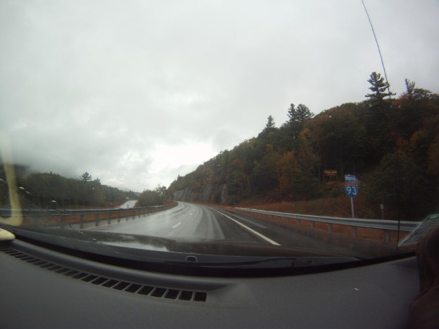
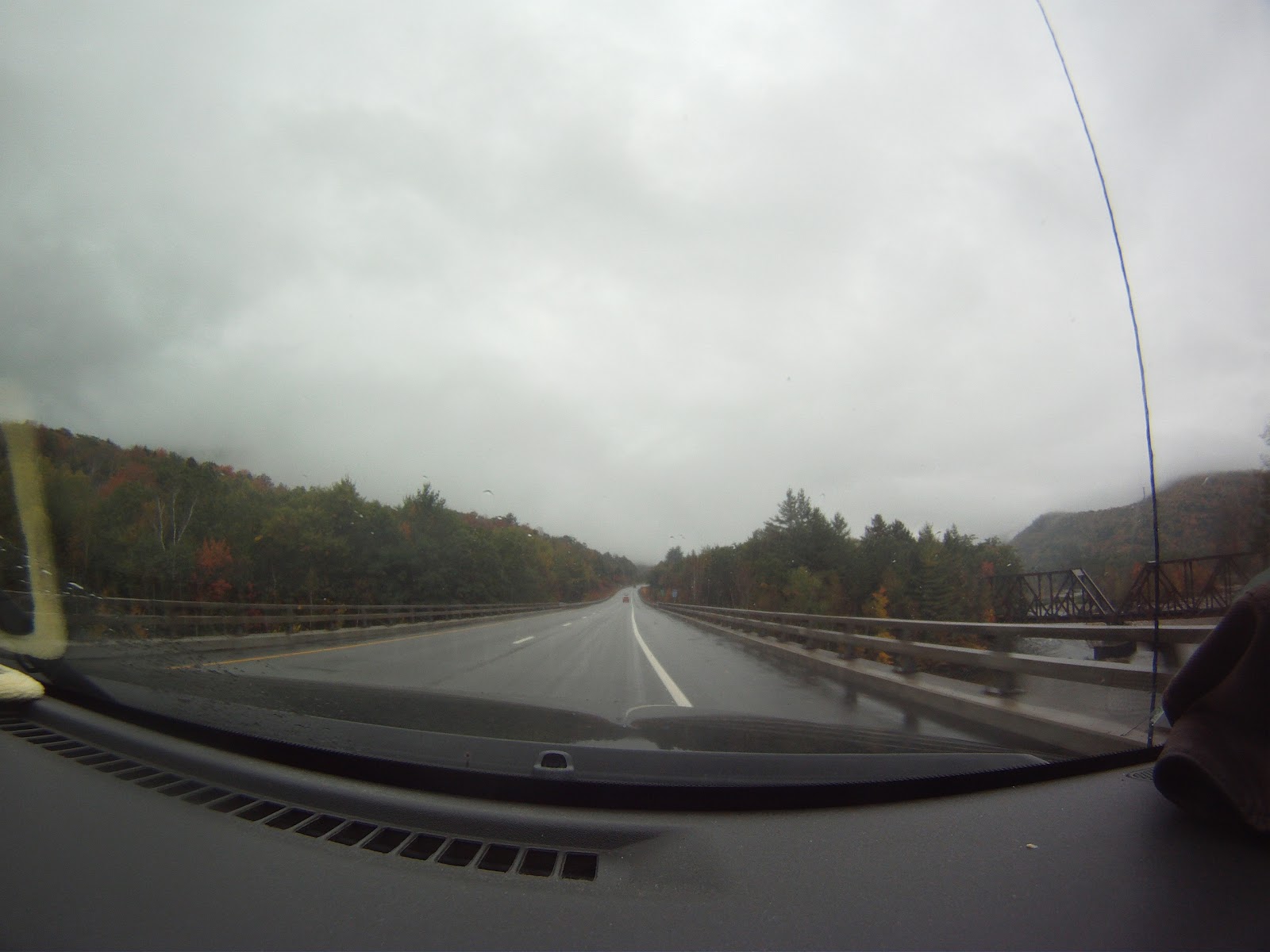
After the hike, we decided to have some fun with my GoPro by mounting it in the windshield of my car for our exit from south side of Osceola via Tripoli Road.  Tripoli Road is a windy mountain road which snakes through Thornton Gap.  The road is seasonally closed, and is mostly unpaved.  It’s a quintessential New England backcountry road.  We aimed the GoPro out the window and set it to fire a single still shot once every 2 seconds.  While less than perfect, there were a few nifty shots in the bunch.  Here’s the best of the lot…

Gear List (click links for more product info):

Buy GoPro HERO Camera at GoPro.com

Marking One Off The List

My sister and I had been wanting to hike Mt. Mansfield ever since she started going to school in Burlington.  Last year we considered it but hiked Camel’s Hump instead.  Last winter I thought about laying down some turns off the mountain, but we never caught the snow right, or went to Mt. Washington instead.

Finally, we can mark this off the list, but the mountain wasn’t going to give in so easily.    The day started off right–calm weather near Stowe and hearty breakfast sandwiches.  However, that was the last time we were dry during the hike.  The ascent brought rain, then wind.  Above treeline the gusts must have been upwards of 50-60 mph.

However, we weren’t going to let a bit of rain keep us from having fun.  We hiking along the ridge after ascending via the Long Trail, from the Chin to the road near the Nose

Lots of fog and pelting rain were waiting for us above treeline.

Lots of fog and pelting rain were waiting for us above treeline.


Yes.  Hiking the ridge was more interesting than re-routing on the bad weather routes.

Yes. Hiking the ridge was more interesting than re-routing on the bad weather routes.

We did eventually leave the ridge.

We did eventually leave the ridge.

We left the ride on the Amherst trail to the toll road, and then descended on the Hazelton trail which ran through part of Stowe resort.

Looking through the fog at Stowe.

Looking through the fog at Stowe.

Foliage galore

Foliage galore!

Lots of stream crossings.

Lots of stream crossings.


No snow here...yet.

No snow here...yet.

We missed the first real snow on Mansfield by two days! The photos on the FIS website show a little different look at the Stowe gondalas just a few days later.

Done! Time to walk out.

Done! Time to walk out.

Rt. 108 showing its colors.

Rt. 108 showing its colors.

Back at the trail head the weather was much calmer, though still rainy.  After bad weather that greeted us on top, we appreciated the calmer rainfall at the base.

Trip data:

[map style=”width: 400px; height:300px; margin:20px 20px 20px 20px; border: 1px solid black;” z=”14″ gpx=”http://www.ignorethecautionsign.com/wp-content/uploads/mansfield.gpx”]

Mt. Osceola Ascent

Two weeks ago I got some more fall hiking in with Annelise and Sweeney.  This time our goal was Mt. Osceola from the Waterville Valley side.  Sweeney drove up and we got underway pretty quickly.

Heading out.

Heading out.

The visibility was poor, and it was spitting rain, but we had a fun ascent up slabby rock, chatting as we went.  There isn’t a good way to make a loop out of it less than 10 miles, especially after Irene tore up some trails to the east.  Because of this, we  planned to double back the way we’d come.

At first we thought this pylon was the peak...with no views to be had.

At first we thought this pylon was the peak…with no views to be had.

Supposedly on top of the mountain are good views–on any other day that would be true.  There is a great outlook ledge where old fire tower pylons remain.

Not much to see here today.

Not much to see here today.


Posing in front of the spectacular view

Posing in front of the spectacular view

We were on a peak after all.

We were on a peak after all.

Sweeney had been hoping to scout out some slides in the area, but we forgot to mark a waypoint before the hike, and with the poor visibility, rummaging through brush didn’t turn up anything interesting.

Obligatory foliage shot

Obligatory foliage shot


It's definitely fall in NH.

It’s definitely fall in NH.

Sweeney has a couple more photos from the trip, so hopefully you’ll see an update on his site soon.  All the photos you see here are credit to Annelise.

Trip data including a bit of driving to the trail head:

[sgpx gpx=”/wp-content/uploads/gpx/tripyramid.gpx”]


Tripyramid Takedown

This is the final post in a catch up effort I finally made.  Read about Sweeney and I constructing our own gym, and my trip to Acadia which I also just posted.  Unfortunately I missed key photo opportunities at most of our July/August climbing trips.

Here we go:

Last weekend Sweeney made some spontaneous hiking plans and made a quick drive up to Lincoln for some day hiking.  I’d been wanting to hike the Tripyramids, or Trippy-amids as I sometimes call them for some reason.  They were pointed out on this blog, and the ~11 mile loop we planned seemed like a solid route.

The hike was mostly enclosed by trees, but had a few good views.  Since it was just the two of us, we did our best to race up the steep ascent and then hike along the ridge to past the north peak to Middle Tripyramid, both of which are just over 4k elevation.

Some foliage as we crested the ridge.

Some foliage as we crested the ridge.

We took a break at Middle Tripyramid, once we’d found a good outlook.  We did the 5 mile ascent in 2 hours, so it seemed like a well deserved break.  Time to soak in the view.

One of a few good views from the middle peak, with Waterville in the background.

One of a few good views from the middle peak, with Waterville in the background.

To the right...

To the right…

And the left.

And the left.

There is a distinct lack of snow behind Sweeney.

There is a distinct lack of snow behind Sweeney.

We backtracked a bit to turn the hike into a loop, with about a mile walk on the Kanc to get back to the car.  After a steep, but brief portion, it was mostly easy going.  Unfortunately, there were many streams and rivers between us and the road.  They were very nice to look at–the river was strewn with smooth rocks and had very clear water, but after crossing it for the 5th time, it got a bit tiresome.

One of the roughly 25+ river and stream crossings on the way down.

One of the roughly 25+ river and stream crossings on the way down.

A stream bed that got pretty destroyed by Irene.

A stream bed that got pretty destroyed by Irene.

After one or two last crossings, we knew we were in the clear.  I actually took my shoes off at one point and just waded across.  Just when we thought we were approaching the road, the hiking trail turned into a gravel road.  We suddenly came upon a tourist landmark, a unique water fall.

Unexpected landmark. A basalt dyke created Sabbaday Falls.

Unexpected landmark.  Sabbaday Falls was created by a plate fault across a basalt dyke.

Checking it out...

Checking it out…

Pretty cool.

Pretty cool.

Photo op.  I tried using my new (and first) smart phone exclusively for photos.  It did alright.

Photo op. I tried using my new (and first) smart phone exclusively for photos. It did alright.

This made the final hike out a little easier than expected, but it was a cool find, and a great way to end the hike.  We made in back to the car about 5 hours after we’d left, and took the scenic Kancamagus back to Lincoln for some food and ski sale perusing.

Here’s Sweeney’s trip data which he kindly provided to me:

[sgpx gpx=”/wp-content/uploads/gpx/tripyramid.gpx”]