Category Archives: Ski Mountaineering

Winter Endures: Lincoln’s Throat

Recently, as I go about my daily routine, I’ve been hearing all sorts of hushed utterances from passersby, people around the office, news anchors and others regarding spring, snow melt, warmth and other such unsavory notions.  To anyone guilty of such blasphemy, this post is for you.  I present Exhibit A:

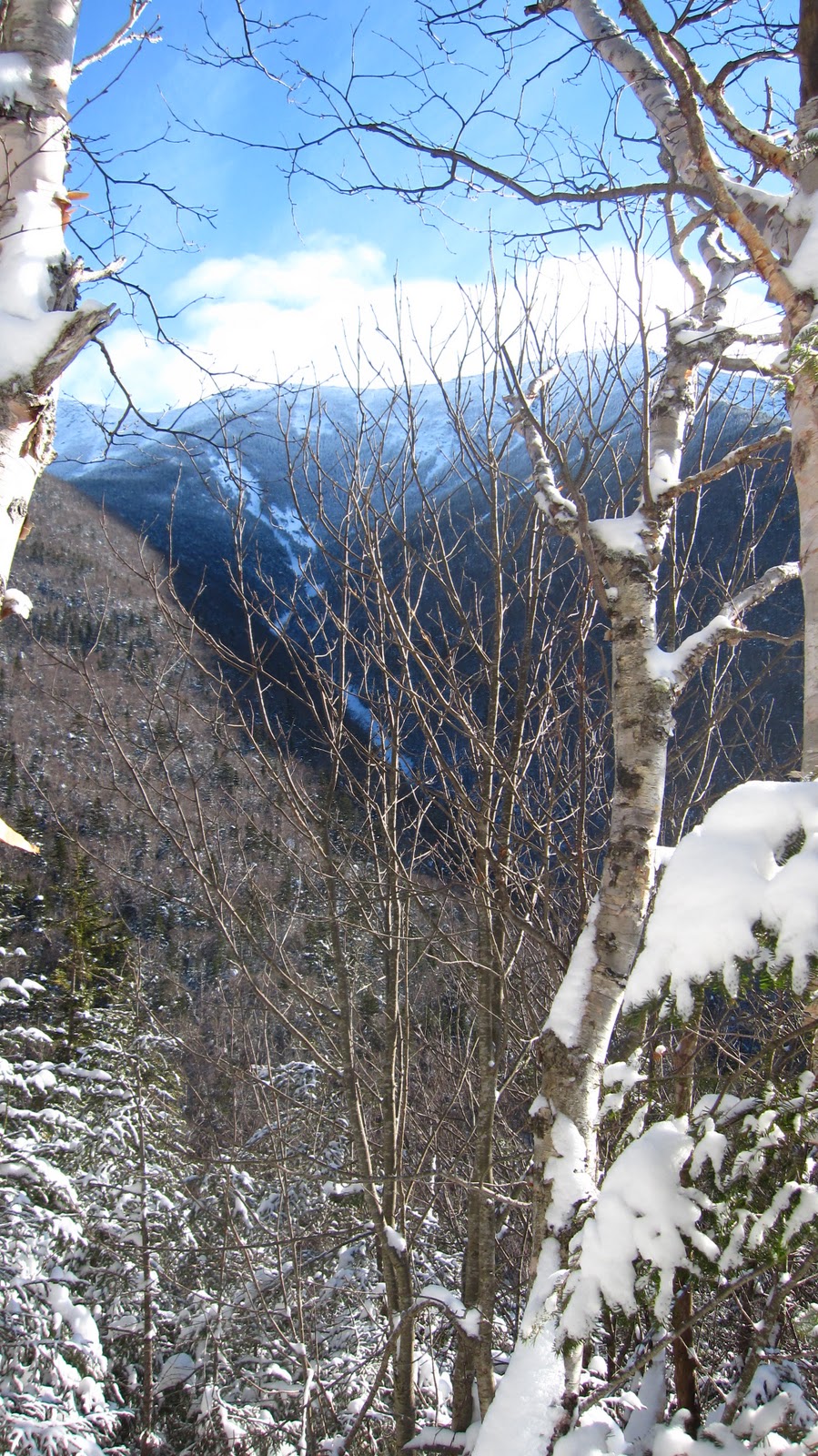
Winter Endures!  Undeterred by the recent rainstorms (or, for that matter, the rain that we woke to yesterday morning) we ventured back into Franconia Notch in search of steep, exciting lines.  

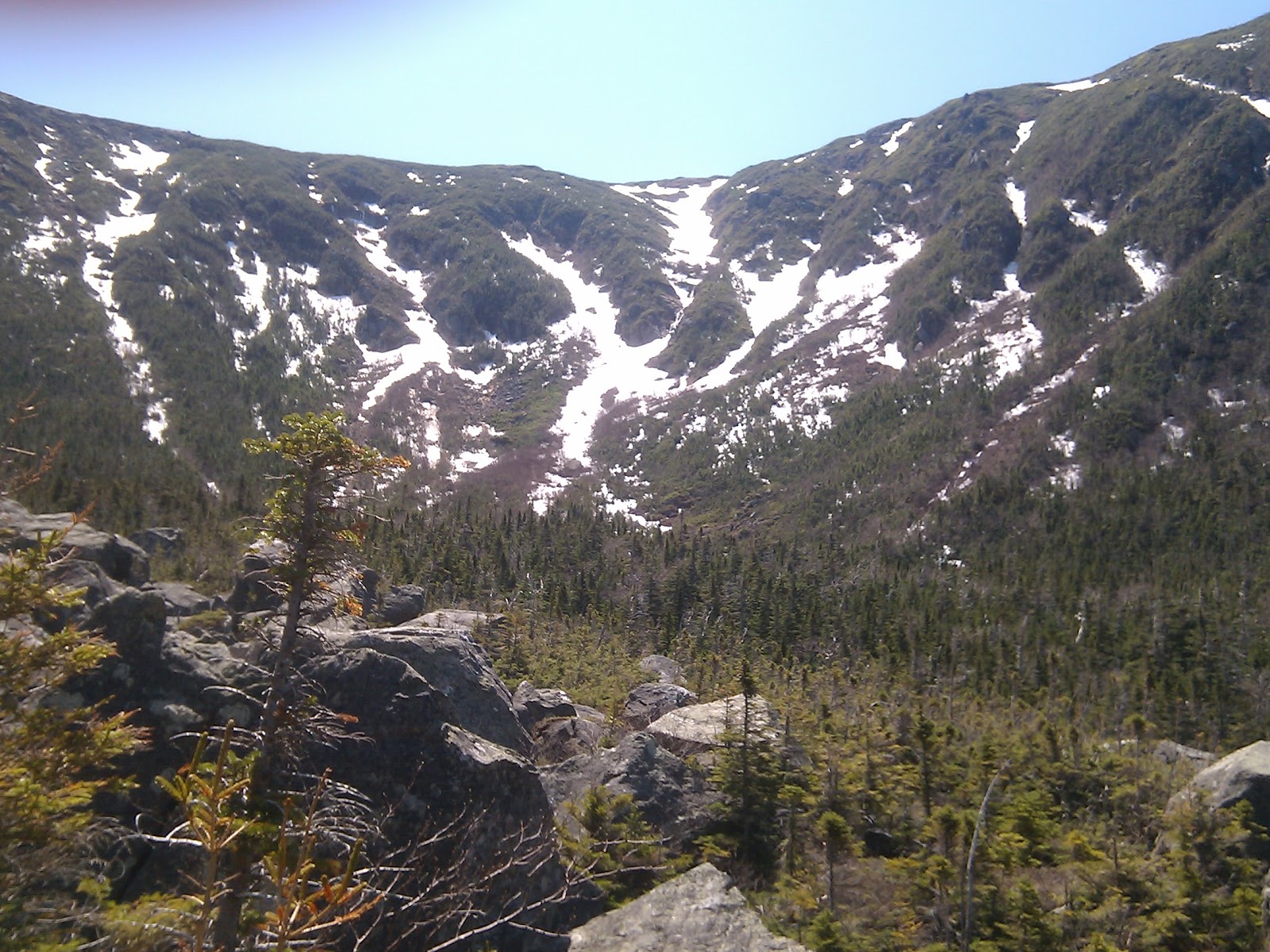
A few weeks back, we set out to the same area with the aim of skiing Lincoln’s Throat, one of the slides running down from Franconia Ridge.  Upon getting there we realized that the unnamed line to looker’s left of it might actually be more fun: it was a powder day and we just wanted to make huge fast turns.  This time around, we decided get back to the original plan and see what it was all about.  We loaded the car, picked up some breakfast, talked to some sales clerks about how they “don’t know about the skiing because of the warmth and the rain” and headed up into the notch, where the rain promptly turned over to snow.  
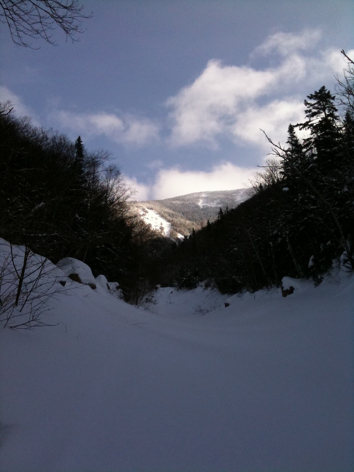
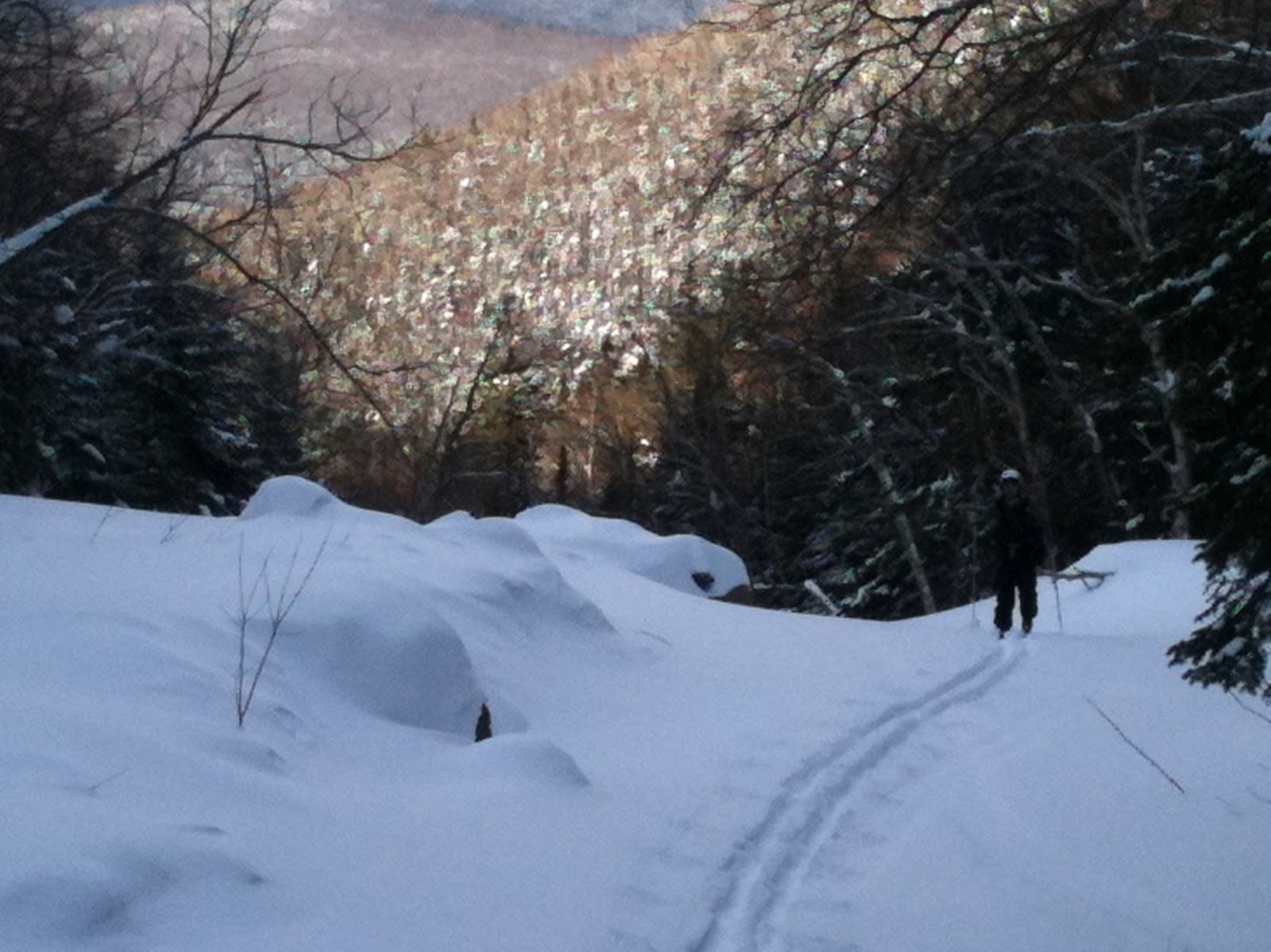
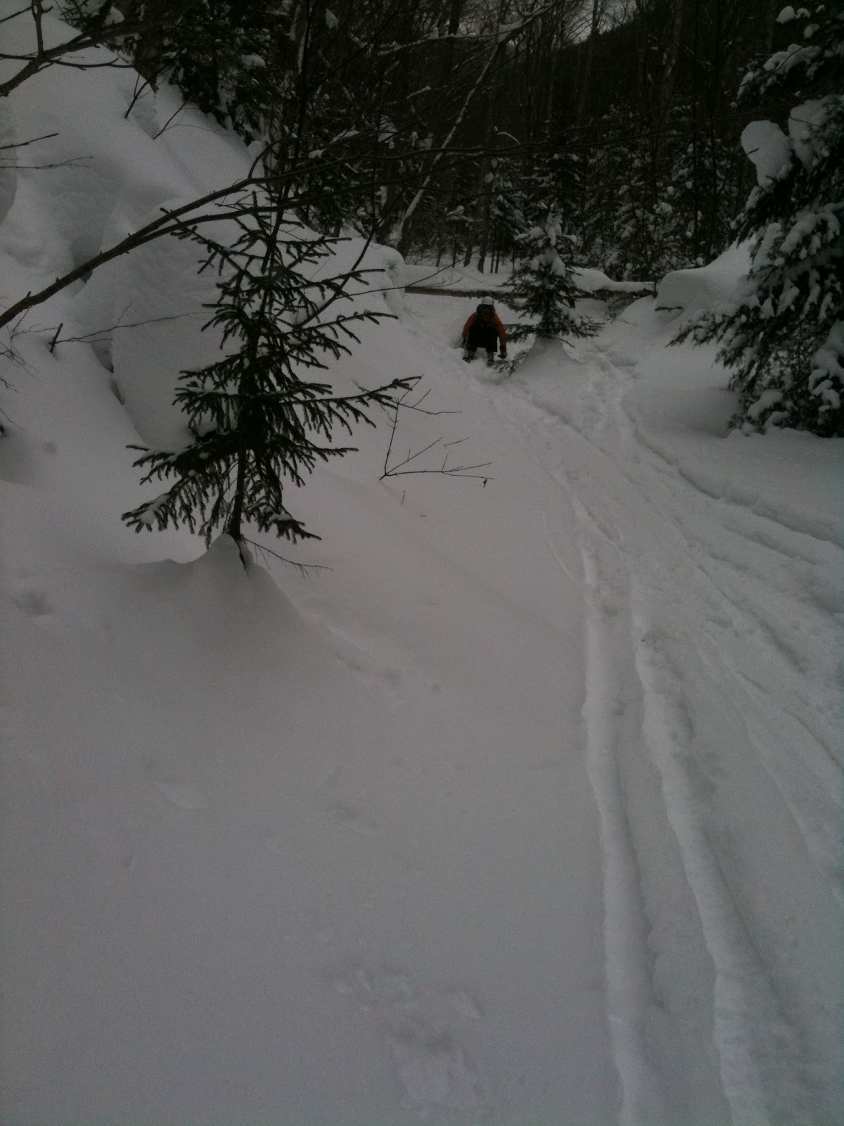
The skin in was relatively easy going, as per the last time around.  We made sure not to go a mile out of the way time, and quickly found the stream bed which leads up to the slides.  We found the stream to be completely opened up in many places and had some difficulty crossing.  We resorted to tossing skis across a shallow section and quickly running over a few exposed rocks.  AT sole blocks and trekking poles for the win.  We eventually found that the stream was intact at higher elevations and were able to come out of the woods and head for the slides.
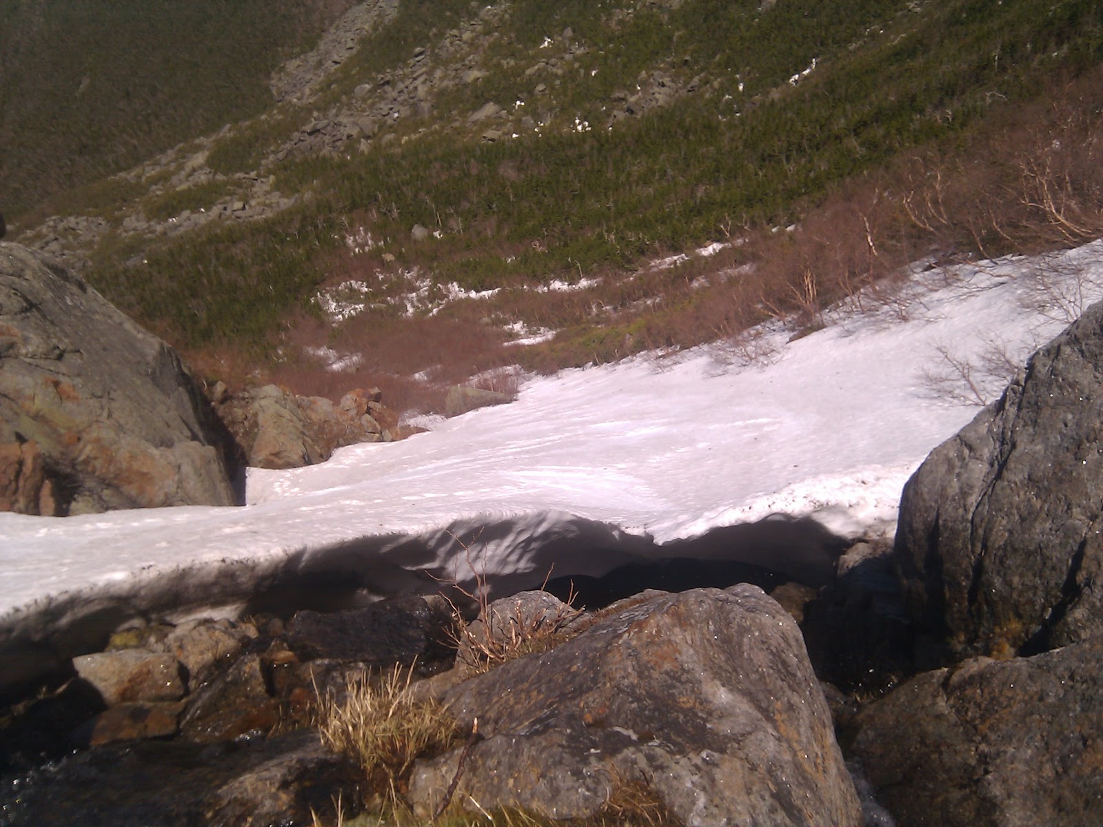
Cliffed out: the ice bulge at the top of the skiable part of the slide.
Photo Credit: Rob
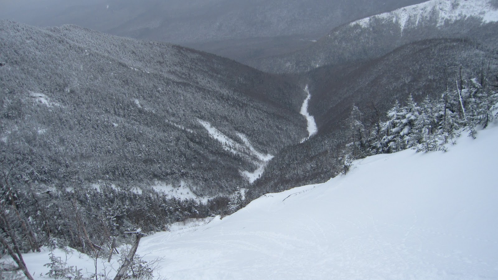
In classic Franconia Notch style, the weather became progressively worse as we approached the summit.  The wind picked up, the clouds sunk in around us and the snow continued to fall.  All florid prose aside, the conditions turned out to be close to perfect.  It was a touch on the warm side toward the bottom, but once we got to decent elevations it dipped below freezing – much more comfortable for a long climb.  The recent rains and warmth had created a thick rain crust layer, and solidified the snow pack to the point of negating any avalanche concern.  Anticipating these conditions, we took crampons and ice axes along.  For most of the ascent, trekking poles and some carefully places steps were sufficient protection.  Close to the top, I starting to get nervous and pulled out my mountaineering ax.  Rob used a whippet self arrest pole to fill that role.  Despite these few difficulties, the travel uphill was actually considerably easier than the last time, conspicuously lacking any wallows through thigh deep snow and deeper drifts.  However, the snowfall was steadily coating over the firm rain surface.  The crust was providing just enough support for relatively easy climbing and the new powder (2-6 inches) was looking to be just enough for some soft turns.
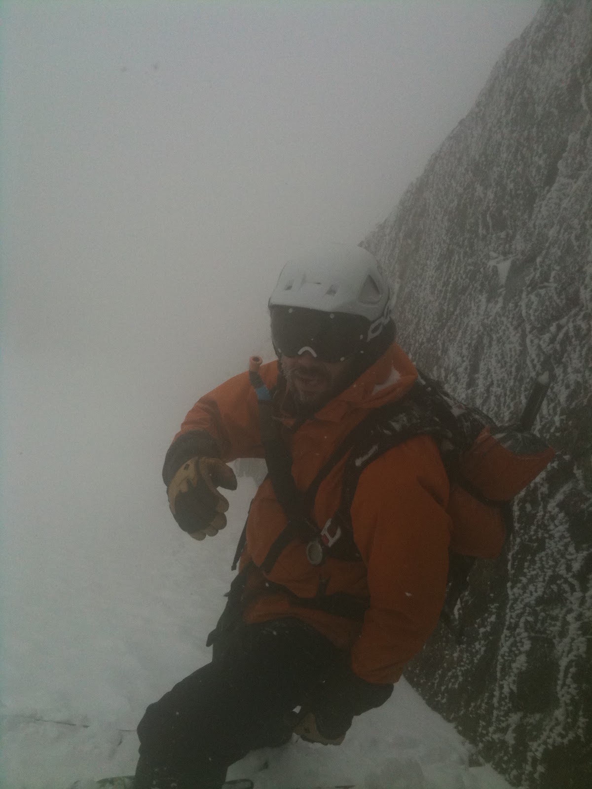
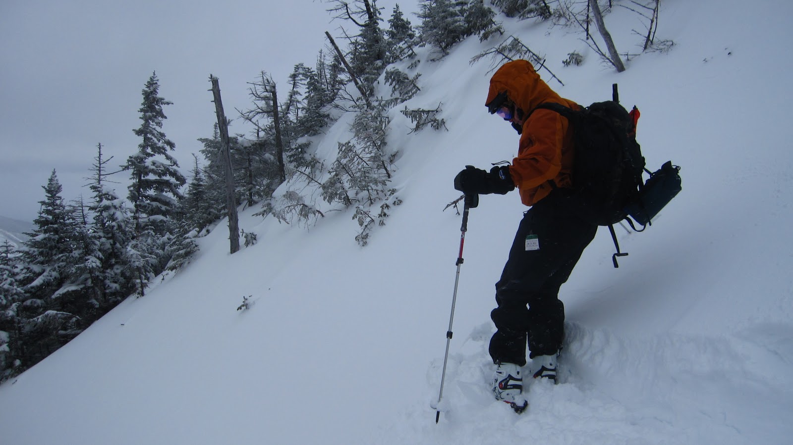
Our staging area.  It was pretty steep.
And we couldn’t really see.
Photo Credit: Rob
We arrived at the top of the chute and were struck by how cool this place really was.  We were surrounded nearly on 3 sides by steep, icy rock.  The top of the chute was steep enough that we had to kick into the slope and build ourselves little platforms to work from.  It was probably close to 40 degrees at the very top.  The fog was now full blown pea-soup.  Rob snagged a few pictures, we finished messing around with our gear, clicked in and got ready for the skiing.
Ready to shred.  Photo Credit: Rob
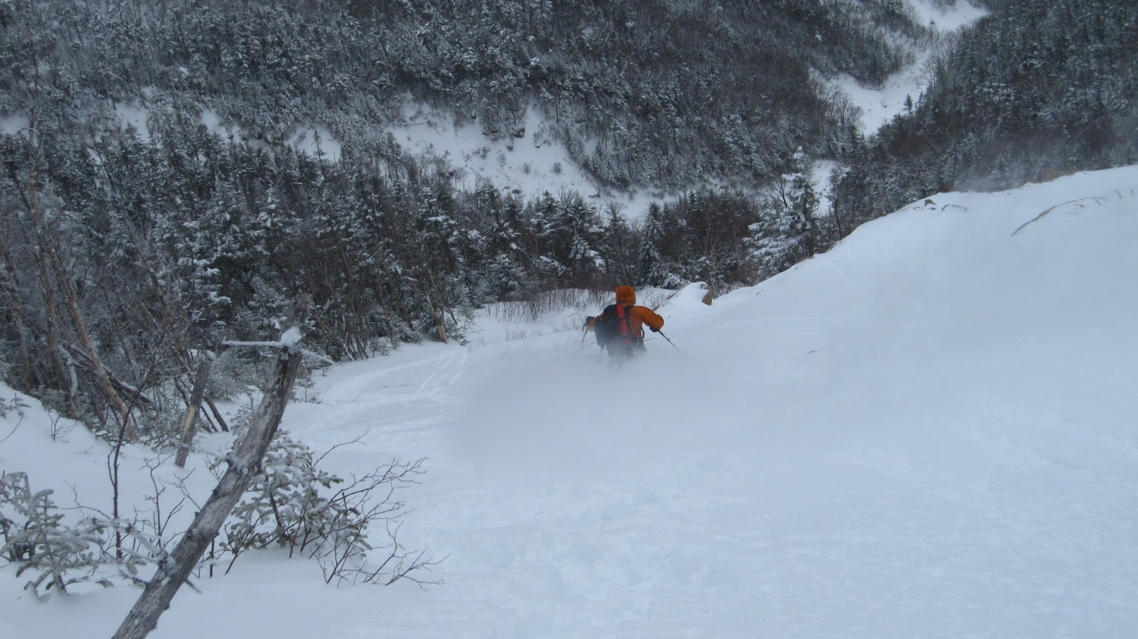
Concerned about scraping away too much of the new snow surface and ruining Rob’s run, I do a quick jump turn, and take off straight down the fall line.  It turns out that the snow was pretty fast that day.  Between the low visibility and tight line, it felt like things were coming at me pretty fast – this was some exciting skiing!  Eventually, I figure it’s time to speed check and pull over.  
As Haigh would say, ‘Point ’em and pray!’
As I come to a stop I notice a big swath of slough pouring past me.  By now, I’m really starting to worry that I’ve ruined Rob’s line by taking all the snow down with me.  A few seconds later, Rob tears past me, laying down some fast, hard turns.  Apparently there was plenty of snow for the two of us, despite the large volume of slough.  We leap-frog our way down, alternating who takes first tracks.
Emerging from the fog.  Photo Credit: Rob
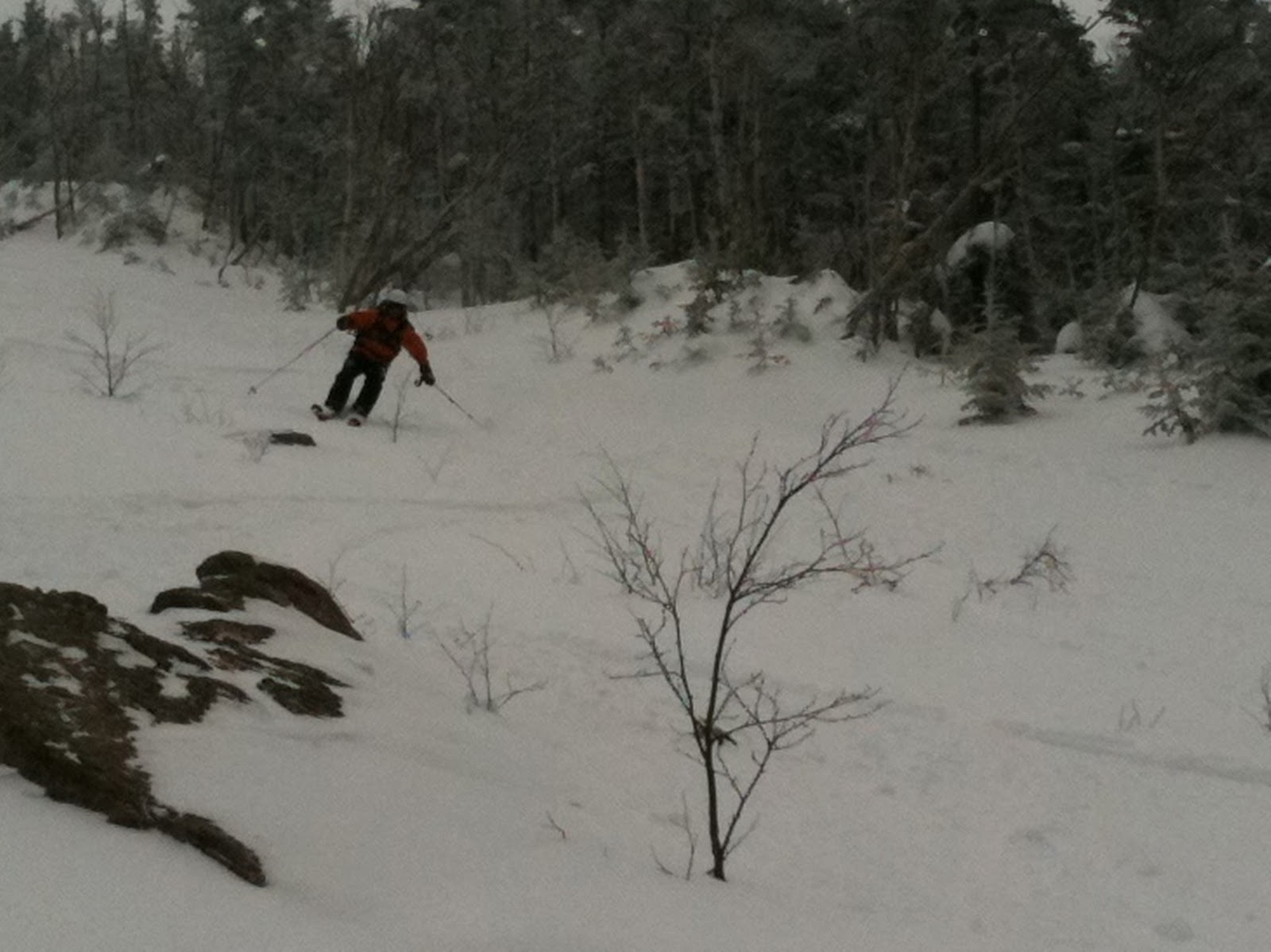
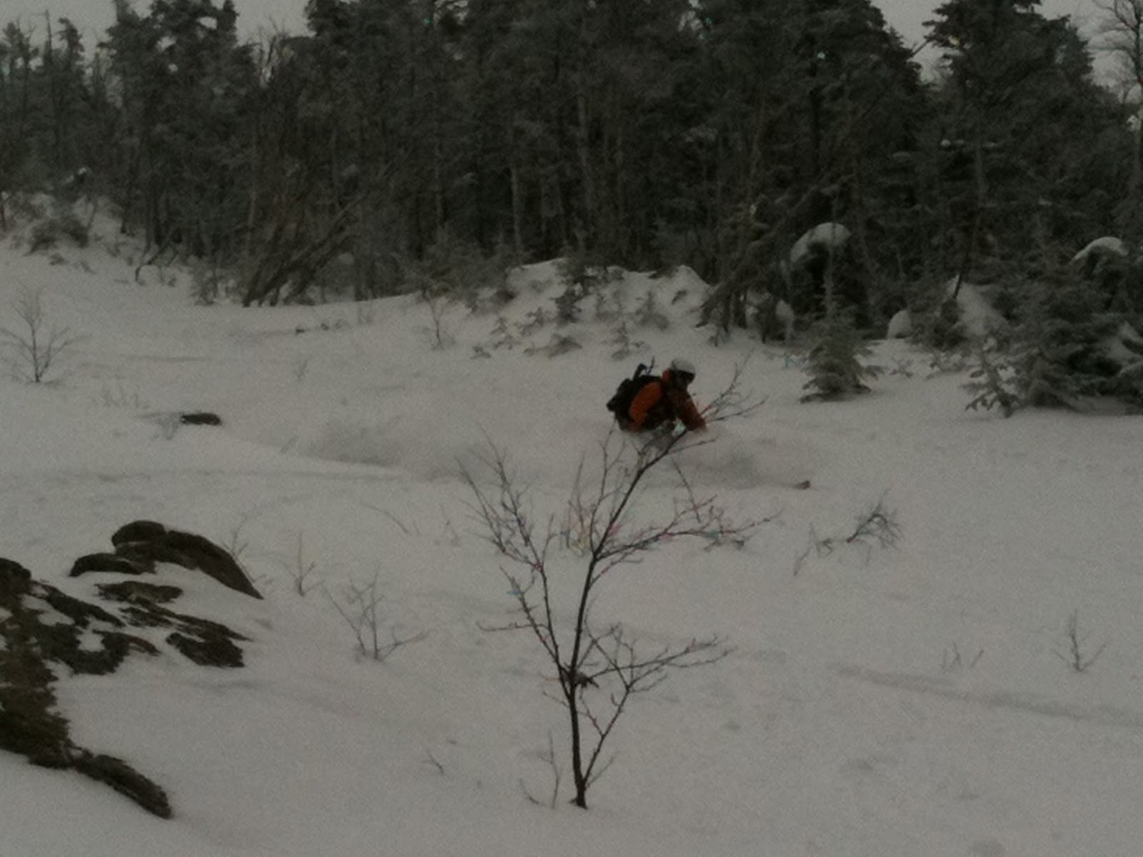
The pow wasn’t quite so epic, but the line was just a little bit steeper and the snow, just a little bit faster.  Bottom line: great run.  By this time we’d each worked up a serious thirst, so we cracked open a couple cans of stout, quenched ourselves, and started to find our way back to the Old Bridle Path and eventually the parking area.

View Lincoln’s Throat in a larger map

Gear List (click links for more product info):

Black Diamond Sabretooth Clip CramponsBlack Diamond Raven Ice Axe Gray, 55cmBlack Diamond Axe Protector Bd Orange, One SizeBlack Diamond Spike ProtectorBlack Diamond Guide Glove - Men's Natural, LBlack Diamond Havoc SkiBlack Diamond Ascension Nylon STS Skins One Color, 95mmBlack Diamond AvaLung IIBlack Diamond QuickDraw Tour Probe 190Black Diamond Deploy 3 Shovel Cinnamon, One SizeBackcountry Access Tracker DTS BeaconBlack Diamond Whippet Self-Arrest Ski PolePOC Lobes Goggle Black/White, One SizePOC Synapsis 2.0 HelmetBlack Diamond Factor Alpine Touring Boot - Men'sBlack Diamond Contour Elliptic Carbon Trekking Pole Ink Blue, One SizeFree Shipping on Orders over $50

Franconia Ridge

Having been confined to lift serviced terrain thus far in the season, Rob and I decided it was about time we ventured into the backcountry.  Specifically, we chose to ski Lincoln on the western slope of Franconia Ridge.   We arrived at the Lafayette Place parking area around 7:30 am.  After a solid 20 minutes of messing around with our gear, we were on the trail.  It was bright and clear, the wind was still and it was about 10 degrees: perfect skinning weather!

Here’s an overview:

View Franconia Ridge in a larger map

We shot off down the the Old Bridle Path toward the Greenleaf Hut, shedding layers left and right despite the cold.  The plan was to follow that trail until it passed the bottom of the drainage and then follow it all the up to the top of the slides.  After about 2000 feet of vertical, we realized we had missed the cutoff.  on the upside, we got a pretty good look at the slides we were about to ski.

View Franconia Ridge in a larger map

We skinned back down the trail about 300 vertical feet, until we found the point where the trail comes closest to Walker Brook.  Once there, it was obvious that someone had hiked out of the woods on skis.  We should have known to follow these tracks when we first encountered them.  We quickly found the brook and followed a week-old skin track toward the slides.


Left: the bottom of the drainage and the slides in the distance.  Right: Rob and I skinning.

Eventually the pitch becomes too steep for skins, so we stash the skis and start boot-packing our way up the 1300 foot slide.  This was fun but a lot of work.  The snowpack was mostly powder, but every now and then we’d find some crust or ice, and in many places we were scrambling over larger rocks that were buried just beneath the snow.  For much of the way up we were in thigh deep powder.  The ascent was about 35 degrees sustained and we had to use our poles to ladder up for nearly 50% of the time.

This was my first time hiking in my new North Face Off Chute 26.  When I first found it, I pretty much concluded that this thing was the perfect winter day pack and my conclusion still stands.  I was able to get all of my technical gear, extra layers, food and water into it and it still carries pleasantly.

Rob scrambles upward – I still  owe him a case of beer for
 breaking trail most of the way.

By the time we got to the top the skies had socked in and it had begun to snow lightly.  The wind was blowing steadily, though thankfully not too hard.  Even so, it was still pretty cold, so we scrambled to get dressed and ready for the descent.  On the way down, we alternated between taking fresh tracks and working the cameras.  Check it out…

Rob, wrapping up his snow pit and packing his bag.

A quick review of the run.

Rob, ready to slay pow. 

Killin’ it.

Rob disappears behind a small drop, in a cloud of smoke no less.
He talks me into dropping it shortly after…

Me looking like a fool…

Rob shreds up a nice pitch.
Many have already correctly observed that I was on the verge of experiencing cardiac arrest during the filming of this line.  This is hard work, we just climbed straight up a mountain!  I attempt to redeem myself as seen below:

Ducking under a tree on the way out.

By now, we’d worked up a pretty serious appetite, so we went into town and got sandwiches.  All in all, it was a darn good day.

Gear List (click links for more product info):

Black Diamond Sabretooth Clip CramponsBlack Diamond Raven Ice Axe Gray, 55cmBlack Diamond Axe Protector Bd Orange, One SizeBlack Diamond Spike ProtectorBlack Diamond Guide Glove - Men's Natural, LBlack Diamond Trail Trekking Pole Cinnamon, One SizeBlack Diamond Havoc SkiBlack Diamond Ascension Nylon STS Skins One Color, 95mmBlack Diamond AvaLung IIBlack Diamond QuickDraw Tour Probe 190Black Diamond Deploy 3 Shovel Cinnamon, One SizeBackcountry Access Tracker DTS BeaconBlack Diamond Whippet Self-Arrest Ski PolePOC Lobes Goggle Black/White, One SizePOC Synapsis 2.0 HelmetBlack Diamond Factor Alpine Touring Boot - Men'sFree Shipping on Orders over $50

The Mysterious Great Gully and King Ravine

My latest obsession is King Ravine, off the northwest flank of Mt. Adams in the northern Presidentials of New Hampshire.  Here’s why:

View Great Gully in a larger map

Hopefully this requires no additional explanation, but in case it does:

  • nearly a dozen routes down
  • all in the vicinity of 50°
  • all in excess of 1000 feet of vertical no including the runout!!!!!
To me this seems like Tuckerman Ravine only better in all possible aspects: more varied and technical descents, bigger, steeper, less crowded, etc…  The only thing that concerns me is the avalanche risk.  I have to imagine that it gets tons of snow, and I hope that its northwesterly aspect cuts down on wind-loading.  I guess the remaining variables would be temperature and pitch.  Either way, more research needs to be done here…
My thoughts on the approach:

View Great Gully in a larger map

Parking is on Rte. 2 at the green push pin.  The approach is definitely longer than the hike up the Tuckerman Ravine Trail to get to the bowl, but I think it’s easier.  I’ve never done it in the snow, but it’s straight and mellow.  It can be done in just over an hour in the summer.  The two blue thumb tacks denote spots which seemed suitable for bivouacs or small camp sites; away from any avy run-out, out of the wind, flat.

IMHO, the ideal format for the excursion would be a three day weekend.  Head up to the area on a Thursday night, crash some place, and hit the trail ASAP on Friday morning.  I imagine the slog to the Ravine floor would take around 2 hours in good conditions.  Another hour or two take set up camp and make lunch puts you getting some turns in some time after noon – plenty of time for a few runs in the bowl especially given the lack of a 4 hour car ride home and the presence of a presumably awesome campsite less than a mile away.

Enough logistics, lets get to the skiing!

The bowl, from the floor.

A watery crevasse which I did not fall into.

My thumb, but more importantly a good look at the May snowpack.  Yes May.
Clearly, there are numerous routes.  The mellowest of them, had the most snow and is probably the first thing I’ll try is called The Great Gully.  It is highlighted in red in the satellite map at the top of the post.  The bottom is pretty steep, punctuated by a waterfall which you probably have to huck depending on the snowpack.  Fortunately there is an extensive and mellow runout.  The midsection is highlighted by a weird fall line sloping to lookers right, toward a huge mess of rock and undermined snowpack.  Still pretty darn steep.  Above that, it opens up quite a bit and offers at least two spots from which to drop in providing some options.  This portion is the steepest – just in time for the narrow technical sections.  Sounds sick, right?  The rest of the aspects only get steeper and more technical.  Cannot wait.