Tag Archives: 14ers

Pikes Peak

Maybe the last 14er of 2017?  I guess we’ll see, but it’s gonna be ski season any time now.  Either way, pounding out some extra vertical won’t hurt when it comes time to dust off the climbing skins! Crawling out of our sleeping bags at the base at 7:30 in the morning to find ourselves shivering in 22 degrees certainly drove home the imminence of winter!

In terms of overall difficulty, Pikes Peak is comparable to Mt Sopris, even through Sopris isn’t even a 13er!  Mileage and elevation change are similar: the only real difference is that for the last couple miles you can’t really catch your breath.  The northwest approach features a consistently steep climb for the first ~3.5 miles.  Fortunately, just as you break 13k’ the trail flattens out for about 2 miles at which point we undertook at 1.5 miles icy rock scramble to the summit.


During the lengthy traverse from the northwestern slope, to the summit cone, you catch glimpses of impossibly steep gullies with names like Bottomless Pit.  Apparently, the Barr Trail ascends from the east by way of one of these alpine nightmares – definitely something to keep in mind for the future!

Perhaps unsurprisingly, the gift shop at the summit was sort of a zoo, but after a slippery scramble in howling winds, we enjoyed the chance to sit back and snack on our most-certainly-not-brown-bag lunch in comfort and warmth…
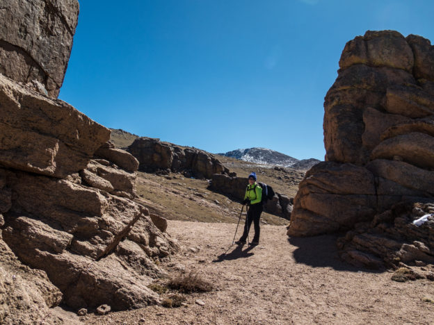
One last #camping hurrah before #winter sets in! @kellyahowie

A post shared by Brian Sweeney (@briangsweeney) on

Grays and Torreys

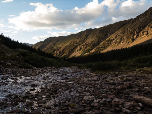
We chose a doubleheader for our first 14ers of the year and it did not disappoint! The hike itself is pretty straightforward: am obvious trail departs from the road and leads you via the path of least resistance up Grays and then Torreys. An optional knife-edge trail descends from the summit of Torreys, which we omitted, but could be used as a nice way to vary the scenery on the return trip. It doesn’t really change the mileage but ads some exposure. Both summits offer glorious views of the Summit County mountains. But the factor that really takes the cake for me is the stunning alpine valley from whence you begin. The best way (IMHO) to tick off these peaks is to drive up Stevens Gulch Road the day before until you get to the end or until you’d rather not punish your vehicle any further. The road peters out nearby an extensive alpine meadow sprinkled with mining remains and ample opportunities for car camping. Get an early start, find a nice camp spot and take in some world-class views while you acclimate. Waking up at the trailhead really takes the edge off of a 14er and the ambiance is second to none!

Long Cut on Long’s Peak

As a long overdue follow-on to last year’s post Long Day on Long’s Peak (anyone else enjoy that play on words?), I present Long’s Peak: Keyhole Route.  I’m continuing with a couple themes that I’ve latched onto recently.

  1. Google Earth flyovers – I don’t have a helicopter or a RED Digital Cinema camera so you get this instead.  I think it’s cool looking and it adds some context…
  2. Some semblance or story arc.  Alright maybe that’s a stretch, but the idea here (seen also in Castle Peak and mostly not seen in any of my skiing stuff) is that a solidly good, 1water1coffee1beer sort of day has a beginning, middle and end during which we travel through a variety of moods, conditions, and settings; almost like a miniature epic…
  3. Playlist format – saves me from feeling quite as bad when I have to cut 98% of the footage but allows for at least some of it to be narrowly focused and less indulgent than I often tend to be because I can include a few extras that would otherwise be gratuitous in an amateur short video.

Alright enough blabbing!  Full-screen, volume up, and draw the blinds a bit – best viewed with no glare!


Long Day on Long’s Peak

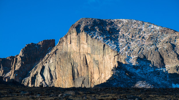
With Fall rapidly approaching, I felt that 14er season, especially for novices like me, would be quickly coming to a close.  Emboldened by my recent success on Capital Peak, I decided to go after Long’s Peak.  When the leaves are down, I can just about see it out my office window.  A quick drive around the block reveals the towering peak, in all of it’s glory.  It’s been taunting me since we moved into the house last November.  I could no longer just ignore it.  So, I checked the weather about a thousand times, squared away my affairs with work for the week, packed a huge heap of clothing, food, and water, and set my alarm for 2:45 AM.  Two hours and 15 minutes later (I really need to work on my alpine starts) I was on the trail and ready to rock.


I’ve really been in the mood for experimentation lately, so I started by running my GoPro for a short section of the pre-dawn approach (seen above).  I used my Hero 3 Black with ProTune turned on, and attempted to brighten things up using Premier Pro.  It didn’t come out the best, but it’s a starting point.  I’ll have to read up, or try again.

At the suggestion of my comrade Andrew, I started shooting stills using the raw format rather than jpeg.  From what I gather, the image quality is higher, there is no compression and no color manipulation.  The same is more or less true when using ProTune on the GoPro.  All of this lends to a better quality original stock, and confers advantages in post-processing.  With all of this in mind, I quickly obtained a trial license of Lightroom and commenced fiddling.  Results are seen below.  Hopefully this doesn’t make me too big of a cheater: I tried to keep my manipulations on the tasteful side, though there is some decided experimentation going on here.  What can I say?  I enjoy fiddling with computers…

img_3899 img_3900 img_3901 img_3902-2 img_3904 img_3905 img_3907 img_3908 img_3909 img_3909-2 img_3912 img_3914 img_3915 img_3917 img_3920 img_3921 img_3922


Stay tuned for a follow up post with more detail on the hike itself and possibly some sort of GoPro edit featuring the harrowing final approach to the summit!