After an entire week of sweating my face off around Boston, Rob, Shane and I figured it was about time to head back up north for some cooler climes, fresh air and good old fashioned exercise. The plan came together at the absolute last minute, with details lacking finalization until some late hour of Friday night. Per usual, we reasoned that we’d better stock up on calories, so we hit the town in search of beers and burgers. Around midnight we skulked back to our respective apartments, set our alarms for 6:30 AM and crashed. Shortly after 7 AM we all rallied and set off for Lincoln, NH.
For those not familiar with the Pemi Loop, familiarize yourselves:
View Pemi Loop in a larger map
View Pemi Loop in a larger map
Ok, so here’s what you’re looking at. The Pemigewasset Wilderness (or Pemi, for short) is the large tract of land between I93, the Kancamagus and Rte. 302. In many cases, the word wilderness might seem a bit overstated. In the case of the Pemi, not so. There are many places in the Pemi that are basically a day’s hike from any sort of civilization with the only mode of transport being your feet. When you get out there, it actually feels like you’re in the middle of nowhere…it’s cool! The Pemi Loop is a 36 mile loop of trail, which essentially surveys the whole Wilderness. Much of it overlaps the AT and most of it is at elevation. In fact, only the 7 or 8 miles on either end of the loop are spent below 3000′. Totaling about 36 miles, the route is frequented by trail runners looking for a challenging, single-day distance run.
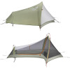
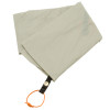
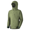
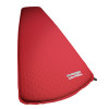
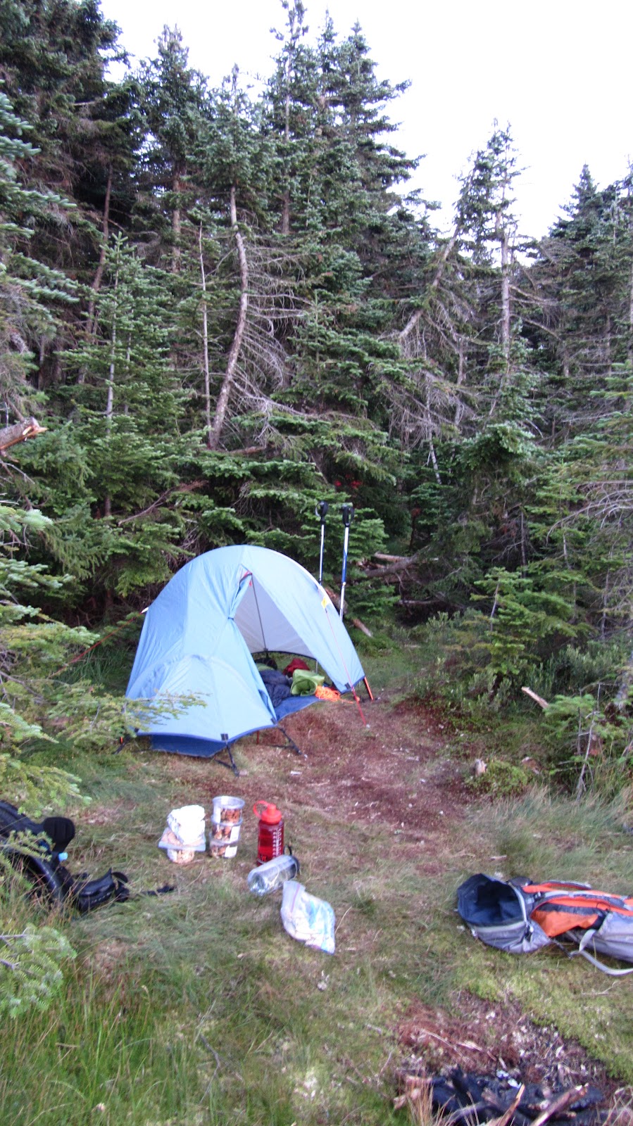
By contrast, we opted for a more casual two day pace: about 14 miles on day one and the other 20 or so on day two. We tried to pack as light as possible by bringing various ultra-light gear. Rob and Shane each used a Hennessy Hammock and I used my Sprite in it’s pitchlight configuration. We each brought summer sleeping bags, ultra-light mattresses, food, rain shells, water/purification equipment, and minimal miscellaneous equipment. I somehow managed to fit all of this into my North Face Off-Chute 26, all weighing in at 19.8 lbs! I’m sure people have gone farther with less, but I was pretty proud of myself…
We hit the trail about 10 AM on Saturday morning. The first few miles are an easy cruise along a former railroad bed. Eventually you come to the Osseo Trail which heads uphill toward the backside of Mt. Flume and Franconia Ridge. This is basically the last time you’ll be anywhere near the valley floor for the rest of the hike. We thought this was great for a number of reasons. Escaping the heat was certainly a concern. Gaining elevation quickly and hanging onto it for as long as possible tends to do wonders for morale – it seems as though you’re storing up potential energy that way… But, perhaps of greatest importance was the outstanding view of the surrounding wilderness offered from the high ridges of the Pemi Loop. One of our highest priorities on this trip was to produce as much documentation of ski-able backcountry lines as possible for the winter.
After a quick perusal of the incredible amount of photos and GPS data we collected, I realized that the ski beta probably deserves a post of it’s own. So… the rest of this entry will be a straight-forward trip report from our Pemi Loop excursion and a follow-up entry will recount all of our ski recon in a more concise and dense format.
And on that note, I’ll let the photos do the rest of the talking…
 |
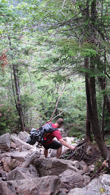
Rob and Shane at our first break about half way up the backside of Flume.
As it turns out the back is nearly as steep as the front… |
 |
| Franconia Ridge: Lincoln and Lafayette |
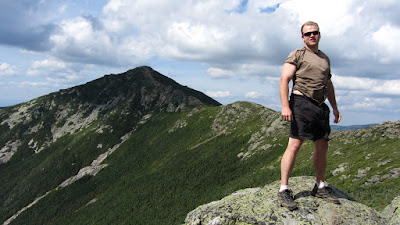 |
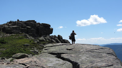
| Rob atop Liberty with the ridge in the background. |
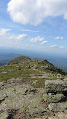 |
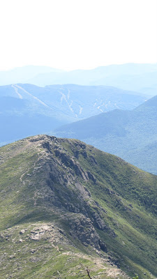
| The Ridge north of Lafayette. |
 |
| Our campsite should be down in there some where… |
Our campsite with the days progress in the background:
View Pemi Loop in a larger map
It took us a lot longer to get from Lafayette to Garfield Pond than we expected. You always intuitively expect the descents to be easy and fast, but frequently, as was the case here, the steep challenging terrain causes you to go even slower than the same slope would were you going uphill rather than down. It didn’t help that we had just climbed four mountains plus like three false summits.
As we got closer to the pond we began to worry that it might be obscured by dense trail side brush and that we might miss it. This concern turned out to be unfounded, as the pond is easily visible from the trail. In fact there are a number of reasonable (but totally unofficial) camps on either side of the trail right next to the pond. Just to be on the safe side we used an an altimeter in conjunction a topo map to get our rough location. For maximum accuracy, I was able to use Backcountry Navigator on my phone which uses the GPS and pre-cached map tiles to pinpoint your current location.
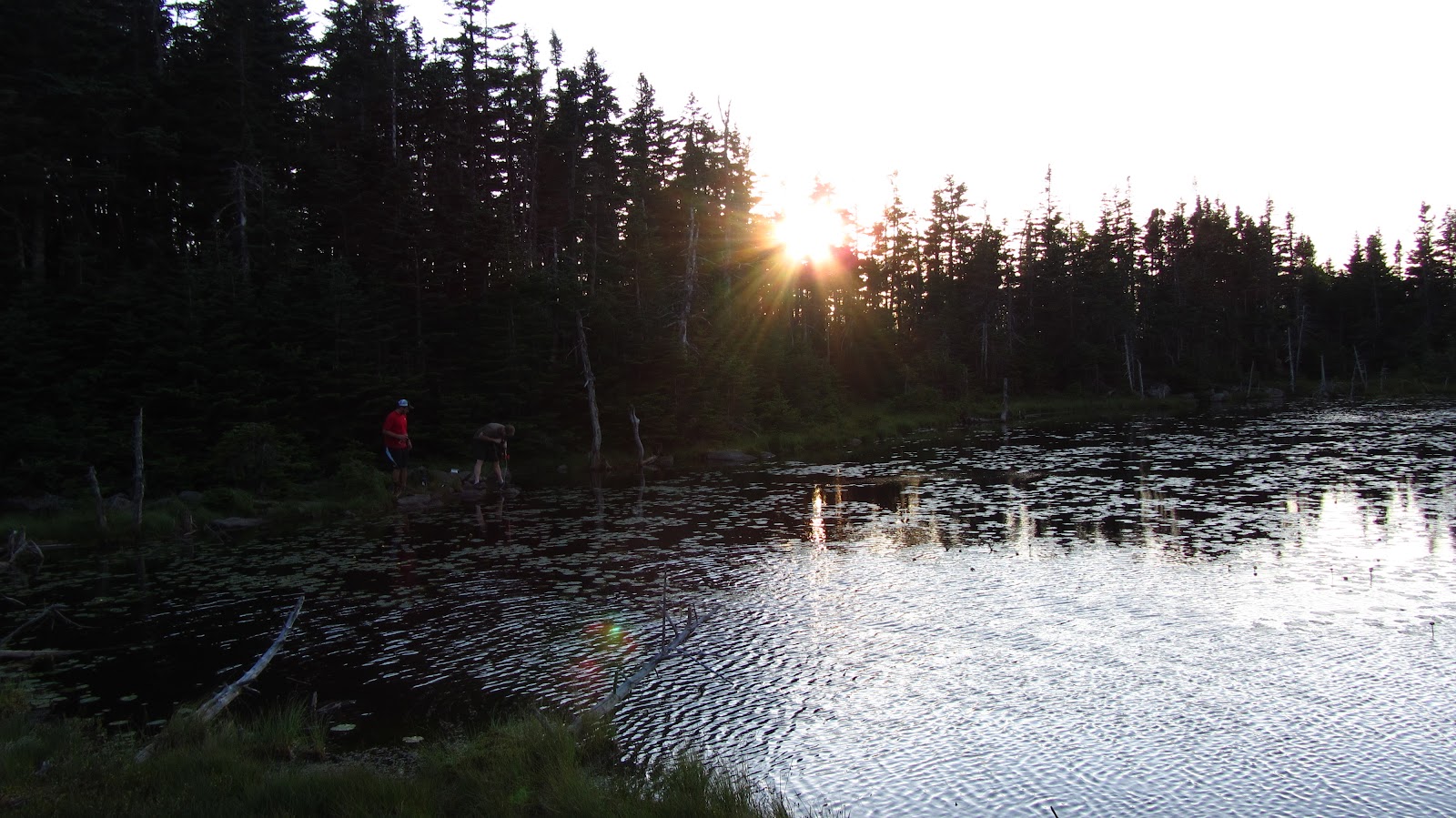
We arrive just before sunset and make our first priority water…
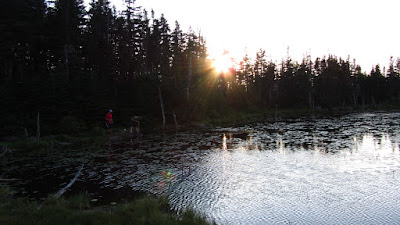 |
| Rob and Shane at work with the water filter. |
As usual, the water filter proved to be kind of a pain in the neck. When my MSR Sweetwater filter met it’s untimely demise on the Long Trail last summer, I replaced it with the MSR Miniworks. This model is slightly bigger and heavier, but is 100% field serviceable. Every single part can be removed without the use to any special tools and the filter element can be cleaned with a simple piece of steel wool, included in the kit. The pond was a silty mess, so we had to clean the filter a number of times and use the float to keep the intake away from the floor of the pond, but we ended up with plenty of water eventually.
 |
| Dusky pond. |
 |
| Sunset begins over Garfield Pond. |
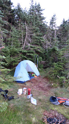 |
Sprite 1 Pitchlight: ultralight summer
comfort! |
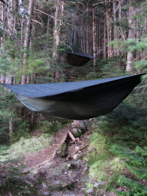 |
The Hennessy Hammocks: pitch anywhere and sleep in
comfort! |
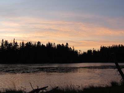 |
| A pretty solid sunset ensued… |
 |
Ideal ratio of clouds to clear sky for
maximum sunset action. |
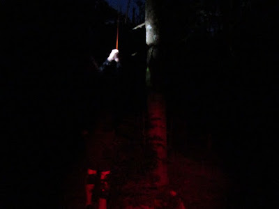 |
| Rob hoisting the food into a tree for the night. |
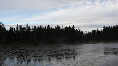 |
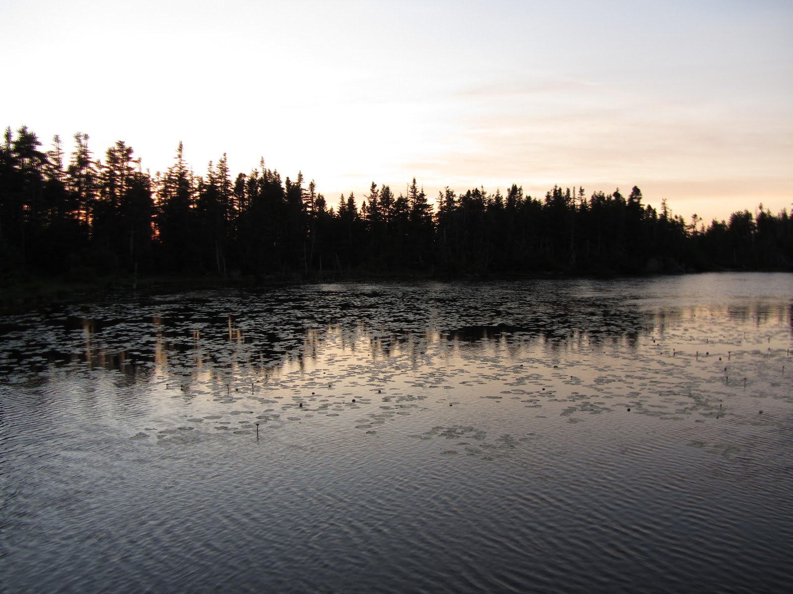
| We awoke to wisps of cloud drifting across the pond. |
 |
Looking back toward Franconia Ridge as we make our way up Garfield,
early Sunday morning. |
 |
| Our first summit of the day: Garfield. |
 |
| Same thing… |
 |
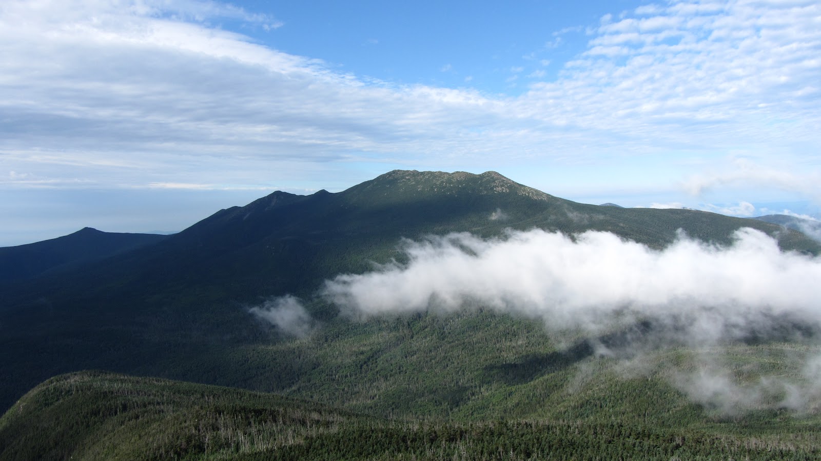
| The Pemi from just below Garfield. |
 |
| Owl Head and The Pemi. |
 |
The precipitous scramble down from
Garfield, and a good example of why
descending frequently takes a long time. |
 |
| The ridge up on top of Guyot. |
 |
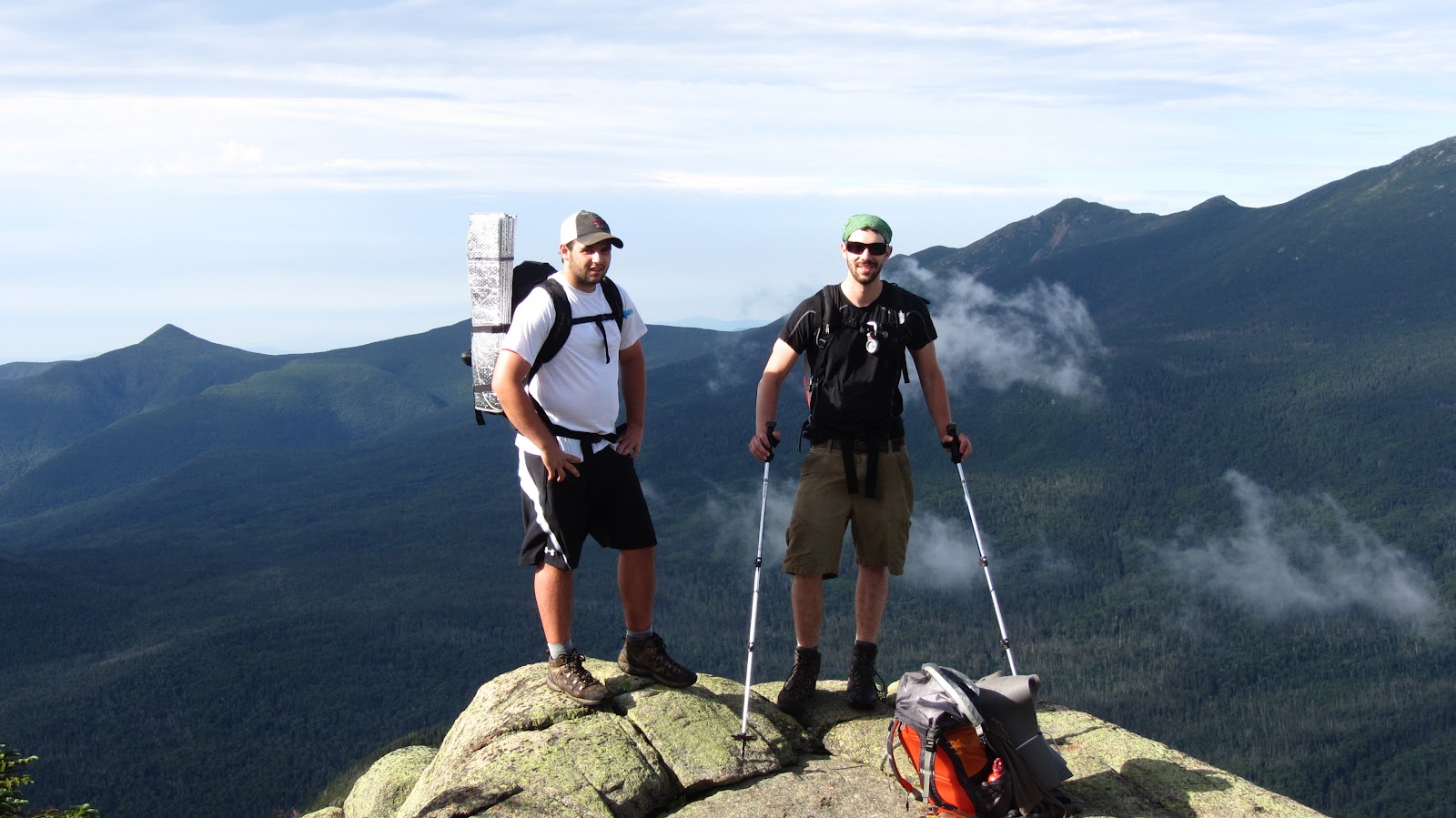
| The three of us at the summit of Guyot. |
 |
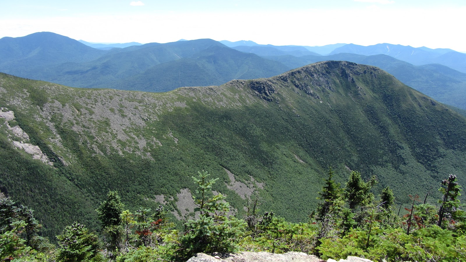
| Bondcliff. |
 |
| More Bondcliff… |
 |
| Rob surveying the land in epic fashion. |
 |
| Ditto… |
After the dramatic West Bond and Bondcliff ridgeline, the trail descends at first steeply, but gradually mellowing, back to valley floor of The Pemi. It’s not a bad hike, but by this stage of the game it seemed to drag on forever. We eventually shambled our way out of the wilderness (well Shane and I did some shambling; Rob somehow marched out with the cadence of a soldier fresh out of bootcamp, apparently undaunted). We threw all of our smelly junk into the back of the car and set off in search of steaks. We found just what we were looking for at Gordi’s Fish and Steakhouse in Lincoln in the form of 20 oz steaks, all you can eat salad bar (which in our case was more like all you can eat fresh vegetables and other toppings with a bit of lettuce for good measure) a potato each and some complimentary loaves of bread.
Gear List (click links for more product info):


