Tag Archives: backpacking

Pemi Loop

After an entire week of sweating my face off around Boston, Rob, Shane and I figured it was about time to head back up north for some cooler climes, fresh air and good old fashioned exercise.  The plan came together at the absolute last minute, with details lacking finalization until some late hour of Friday night.  Per usual, we reasoned that we’d better stock up on calories, so we hit the town in search of beers and burgers.  Around midnight we skulked back to our respective apartments, set our alarms for 6:30 AM and crashed.  Shortly after 7 AM we all rallied and set off for Lincoln, NH.

For those not familiar with the Pemi Loop, familiarize yourselves:


View Pemi Loop in a larger map

View Pemi Loop in a larger map

Ok, so here’s what you’re looking at.  The Pemigewasset Wilderness (or Pemi, for short)  is the large tract of land between I93, the Kancamagus and Rte. 302.  In many cases, the word wilderness might seem a bit overstated.  In the case of the Pemi, not so.  There are many places in the Pemi that are basically a day’s hike from any sort of civilization with the only mode of transport being your feet.  When you get out there, it actually feels like you’re in the middle of nowhere…it’s cool!  The Pemi Loop is a 36 mile loop of trail, which essentially surveys the whole Wilderness.  Much of it overlaps the AT and most of it is at elevation.  In fact, only the 7 or 8 miles on either end of the loop are spent below 3000′.  Totaling about 36 miles, the route is frequented by trail runners looking for a challenging, single-day distance run.

By contrast, we opted for a more casual two day pace: about 14 miles on day one and the other 20 or so on day two.  We tried to pack as light as possible by bringing various ultra-light gear.  Rob and Shane each used a Hennessy Hammock and I used my Sprite in it’s pitchlight configuration.  We each brought summer sleeping bags, ultra-light mattresses, food, rain shells, water/purification equipment, and minimal miscellaneous equipment.  I somehow managed to fit all of this into my North Face Off-Chute 26, all weighing in at 19.8 lbs!  I’m sure people have gone farther with less, but I was pretty proud of myself…

We hit the trail about 10 AM on Saturday morning.  The first few miles are an easy cruise along a former railroad bed.  Eventually you come to the Osseo Trail which heads uphill toward the backside of Mt. Flume and Franconia Ridge.  This is basically the last time you’ll be anywhere near the valley floor for the rest of the hike.  We thought this was great for a number of reasons.  Escaping the heat was certainly a concern.  Gaining elevation quickly and hanging onto it for as long as possible tends to do wonders for morale – it seems as though you’re storing up potential energy that way…  But, perhaps of greatest importance was the outstanding view of the surrounding wilderness offered from the high ridges of the Pemi Loop.  One of our highest priorities on this trip was to produce as much documentation of ski-able backcountry lines as possible for the winter.

After a quick perusal of  the incredible amount of photos and GPS data we collected, I realized that the ski beta probably deserves a post of it’s own.  So… the rest of this entry will be a straight-forward trip report from our Pemi Loop excursion and a follow-up entry will recount all of our ski recon in a more concise and dense format.

And on that note, I’ll let the photos do the rest of the talking…

Rob and Shane at our first break about half way up the backside of Flume.
As it turns out the back is nearly as steep as the front…

Franconia Ridge: Lincoln and Lafayette
Rob atop Liberty with the ridge in the background.
The Ridge north of Lafayette.
Our campsite should be down in there some where…

Our campsite with the days progress in the background:

View Pemi Loop in a larger map

It took us a lot longer to get from Lafayette to Garfield Pond than we expected.  You always intuitively expect the descents to be easy and fast, but frequently, as was the case here, the steep challenging terrain causes you to go even slower than the same slope would were you going uphill rather than down. It didn’t help that we had just climbed four mountains plus like three false summits.

As we got closer to the pond we began to worry that it might be obscured by dense trail side brush and that we might miss it.  This concern turned out to be unfounded, as the pond is easily visible from the trail.  In fact there are a number of reasonable (but totally unofficial) camps on either side of the trail right next to the pond.  Just to be on the safe side we used an an altimeter in conjunction a topo map to get our rough location.  For maximum accuracy, I was able to use Backcountry Navigator on my phone which uses the GPS and pre-cached map tiles to pinpoint your current location.

We arrive just before sunset and make our first priority water…

Rob and Shane at work with the water filter.
As usual, the water filter proved to be kind of a pain in the neck.  When my MSR Sweetwater filter met it’s untimely demise on the Long Trail last summer, I replaced it with the MSR Miniworks.  This model is slightly bigger and heavier, but is 100% field serviceable.  Every single part can be removed without the use to any special tools and the filter element can be cleaned with a simple piece of steel wool, included in the kit.  The pond was a silty mess, so we had to clean the filter a number of times and use the float to keep the intake away from the floor of the pond, but we ended up with plenty of water eventually.
Dusky pond.
Sunset begins over Garfield Pond.
Sprite 1 Pitchlight: ultralight summer
comfort!
The Hennessy Hammocks: pitch anywhere and sleep in
comfort! 
A pretty solid sunset ensued…
Ideal ratio of clouds to clear sky for
maximum sunset action.
Rob hoisting the food into a tree for the night.
We awoke to wisps of cloud drifting across the pond.
Looking back toward Franconia Ridge as we make our way up Garfield,
early Sunday morning.
Our first summit of the day: Garfield.
Same thing…
The Pemi from just below Garfield.

Owl Head and The Pemi.
The precipitous scramble down from
Garfield, and a good example of why
descending frequently takes a long time.
The ridge up on top of Guyot.
The three of us at the summit of Guyot.
Bondcliff.
More Bondcliff…

Rob surveying the land in epic fashion.

Ditto…
After the dramatic West Bond and Bondcliff ridgeline, the trail descends at first steeply, but gradually mellowing, back to valley floor of The Pemi.  It’s not a bad hike, but by this stage of the game it seemed to drag on forever.  We eventually shambled our way out of the wilderness (well Shane and I did some shambling; Rob somehow marched out with the cadence of a soldier fresh out of bootcamp, apparently undaunted).  We threw all of our smelly junk into the back of the car and set off in search of steaks.  We found just what we were looking for at Gordi’s Fish and Steakhouse in Lincoln in the form of 20 oz steaks, all you can eat salad bar (which in our case was more like all you can eat fresh vegetables and other toppings with a bit of lettuce for good measure) a potato each and some complimentary loaves of bread.

Gear List (click links for more product info):
Black Diamond Contour Elliptic Carbon Trekking Pole Ink Blue, One SizeKUHL Trek Short - Men'sMountain Hardwear Sprite 1 Tent 1-Person 3-Season Humboldt, One SizeMountain Hardwear Sprite 1 Footprint PLMountain Hardwear Typhoon Jacket - Men's Cypress/Duffel, LMSR MiniWorks Ex Water FilterAsolo TPS 520 GV Boot - Men'sPetzl Tikka XP 2 Headlamp Graphite, One SizeTherm-a-Rest Prolite Plus Sleeping Pad Pomegranate, SFree Shipping on Orders over $50

Peak-bagging and Summit Beers

Freshly warmed up from Mt. Monadnock, and thoroughly convinced that there’s no ski-able snow left in New England, Alex and I geared up (read: had huge dinners and a few beers) and rolled up to Lincoln, NH to crash early and get a fast start for a long hike in Crawford Notch.  We wanted to do something long and fairly challenging, with some decent rewards, but avoid the Memorial Day hordes.  This turned out to be the perfect solution: the plan called for nearly 17 miles, over 8000′ elevation change, it’s remote compared to much of the Whites, and our early start and rapid pace nearly guaranteed few encounters with any crowds.


View Avalon, Field, Willey, Webster in a larger map

As usual, we got off to a slower start than we hoped for, most likely owing to general morning grogginess and a pronounced need for some White Mountain Bagel before seeing any real action.  Still, we managed to hit the trail at 10 of 7.

We set off at a clipping pace up the steep Avalon Trail, out of the AMC Highland Center.  The Avalon Trail goes pretty much straight up, without relenting until you pass Mt. Avalon, where we took a brief detour to play with my camera’s new smile auto-detect feature.  We experienced mixed results.  Next time I think I’ll just go with a tripod and 10 second timer…

Alex tries to figure out what it takes to trip the smile detect.
We gave up and did things the old fashioned way.
Photo Credit: Alex

With all the serious climbing of the morning out of the way we sped off toward Mt. Field.  The trail dips down and up again between Avalon and Field but is considerably easier traveling than the route up from the Highland Center.  The trail wraps around the west flank of the ridge yielding impressive views of the Pemi Wilderness.  Without much trouble we summit Field and push on toward Willey, the final stop before descending toward and the crossing back over Rte. 302.

Willey offers some great view and some nice rocky spots to hang out and relax.  The sun was starting to get pretty high, and the morning’s haze and mist were starting to burn off, so we decided it was about time for Summit Beer Number 1.  Turns out it was a good chance for some more photos.

Some of these slides have to hold enough snow to be
ski-able.  Let’s hope a 3-degree file guide and some diamond
stones find their way into next year’s Christmas Stocking.
302 Snakes along the Notch floor.
Summit Beer Number 1.  The
Sam Imperial White seemed like a solid bet
in terms of slaking our thirst  on a humid
day in late spring.
Nature.
Clouds culminate over Mt. Washington.
A sweeping view of the Notch.
More backcountry skiing recon missions.
Danger to fun ratio: acceptable.
Once refreshed and rested we set off back down toward 302.  The way down along the Kedron Flume Trail may be steeper than the way up in many places, and it’s challenging, but with a stiff pair of telescoping trekking poles you can really cruise down this trail.  We stopped for a few more quick photos at the flume and then again shortly there after as we crossed the Conway Scenic Railroad.
Jose chillin’ atop the flume.
Just plant, dammit.
Photo Credit: Alex
Alex stands his ground over a
modest railroad trestle.
We emerge from the woods on of the Willey House, a gift shop and ranger station at the crossing of 302.  We fill up on water, change into fresh socks, eat (Alex had an ice cream) and steady our nerves for the next big climb or the day: Webster by way of the Webster Cliff Trail.  We cross the highway, and head back into the woods, roughly following the Saco River toward the shoulder of the cliff, at which time we head more or less straight up.  The Avalon Trail is no joke, but the first mile or so of the Webster Cliff Trail is a real kick in the pants.  Numerous switchbacks notwithstanding, it relentlessly crawls up to the top of the cliffs.  By the time we approach the ridge my quads are starting to cramp up and Alex is working on some Long-Trail-esque blisters.  The arduous climb eventually gives way to an exciting ridge walk; not as exposed as Franconia Ridge but every bit as fun.  After a quick look around we move out.  
The view to the southwest just after cresting the ridge.
Alex surveys the Notch looking north west back toward the
Highland Center.
We charge ahead toward Webster, eagerly anticipating Summit Beer Number 2.  By the time we arrive at the summit of Webster, we’re starting to wonder if summiting Jackson is entirely necessary: we conclude that we actually have a superior view of the surround land from Webster and decide to can the extra 1.5 miles and beeline for the Highland Center, but not before fueling up and snagging a few final photos.
Him again…
Photo Credit: Alex
This bird was completely undeterred by any of our noise
making.
Photo Credit: Alex
We speculate that he followed our scent across the Notch.
Photo Credit: Alex
Mt. Washington and the Souther Presidentials from the
summit of Webster.
The Mt. Washington Hotel.
A brief respite the Highland Center, just past 5 in the evening.
Gear List:

Asolo TPS 520 GV Boot - Men'sBlack Diamond Contour Elliptic Carbon Trekking Pole Ink Blue, One SizeBlack Diamond Traverse Ski Poles

Traverse of the Bigelow Range – Epic

View Traverse of the Bigelows in a larger map

If you’ve spent more than 10 minutes on this website, then you owe it to yourself to visit this place.  The photos, words and other media which follow surely do no justice to the greatness of the Bigelow Range.  But I’m getting ahead of myself.  Lemme take this one from the top…

Pre- gear-explosion.


Some of you may recall that the plan for this trip was formulated some weeks ago and only recently were we able to pull it off.  It’s not the longest drive, but from Boston it’s far enough that it requires some planning and some time.  An uninterrupted drive from Boston to Stratton, ME via the scenic route is projected to take 5.5 hours.  Of course there is no such thing as an uninterrupted drive from Boston.  Additionally, it was a perfect October weekend.  Combined with my inability to be out of bed when I had planned to be out of it, we ended up arriving quite a bit later than we had planned: around 10 PM.  The last leg of the trip was conducted after dark which was actually a lot cooler than we thought it would be: you really get the feel that you’re in the middle of no where once you cross out of New Hampshire and into Maine.

Eventually we passed through the towns of Stratton and Eustis which was our cue to begin looking for trail heads and campsites.  The original plan was to crash at a private campground, make a fire, and chill for a few hours before hitting the sack.  Since it was now 10 PM, cold, and windy, and since we were both starting to run out of steam, we abandoned our plans of luxurious camping and settled for more bare-bones accommodations.  We knew there to be primitive campsites along the access road, Stratton Brook Pond Road (a mouthful, especially in the middle of the night when you mostly just want to be sleeping).  After a few passes back and forth along US 27/16 we eventually found our stop: an ill-lit dirt road winding it’s way into the forest.  Some sort of supplemental illumination would have been helpful in finding the place after dark.  About a mile or so down this road we encountered a small parking area with maybe a half dozen cars and no people.  A very small sign seemed to indicate that no vehicles were allowed past this point. We briefly contemplated hiking our camping gear the rest of the way to the primitive camp sites, but opted to stay put.  It seemed harmless.

View Traverse of the Bigelows in a larger map

At only about 1000 feet and mostly in the cover of the trees, the wind was astonishingly strong!  We actually put our tents between the woods and the car to break the wind, and even still we were afraid the howling winds would keep us up.  By now it was into the mid 30s so we scrambled to get our shelters up.  Upon completion of these activities we bundled up, cracked a few beers and had a lengthy look at the Milky Way, which neither of us had had the good fortune to see in quite some time.  Around 11 PM we set our alarms for 5:30 AM, got into our tents and crashed.

When we crawled out of our sleeping bags the stars were still out, the wind was still howling and it was still about 35 degrees.  Nothing like outright adverse conditions to get yourself fired up for the day!  We tore down our camp in record time, tossed it all into the back of the car and set off down the road in search of the trail.  Shortly, we found the AT, which comprises most of the hike.  The few miles of the hike are essentially flat and we maintained a decent pace, all the while catching the sunrise.  Shortly after passing Cranberry Stream Tentsite we start to gain some vertical.  The foliage becomes decidedly coniferous.  The forest itself is really interesting, full of glacial errata, and moose-friendly looking lowlands, wetlands and ponds.

The knife edge.

It’s important to note that the Bigelows are essentially a knife edge.  In order to get to the top you really have to make some pretty steep ascents.  Fortunately, just as soon as you’re ready to take a break you encounter something cool to look at.  Along the ascent we pass Cranberry Pond and Horns Pond, both of which are at elevation.

Me and Tripp getting lost in the woods seems to be a recurring trend at this point, but nevertheless I’ll take this opportunity to point out some confusing signage which led us about 2 miles out of our way: just prior to encountering Horns Pond, there’s a fork.  Just be sure you go the right way – the inset map has more detail.

Flagstaff Lake from North Horn.

Anyhow, we eventually realize the error of our ways, and get back on track.  Right around now is when the fun begins!  The summit of North and South Horns are within a few hundred vertical feet and the wind has only intensified since we’ve started.  Once we reach North Horn (highly worth the brief detour) we have to shout to speak to each other.  The wind is blasting out of the Northwest probably around 50 mph.  It’s sunny and in the high 30s though the wind chill is significantly lower.  Tripp finds a fortunate clearing in the trees just below the rocky summit where we decide to eat and drink.  It’s out of the wind enough that we can lower our voices, but it’s still pretty cool, so we head off to the South Horn as soon as we’re done eating.

The South Horn might was well have been a beach resort by comparison: a small crowd is relaxing on the warm rocks, out of the wind and in the direct sunlight.  Were it not for the fact that we had just stopped… well you get the idea.  It was really nice.

Moving along, we descend into the saddle between the Horns and West Bigelow.  For a while we’re out of the wind, but as we get closer to the middle of the saddle, and eventually start to head up again we’re buffeted by winds of increasing strength.  Eventually we’re completely out of the lee of the Horns.  The forest around us shows the signs of constant exposure to strong winds: seemingly every other tree is knocked over toward the south.

As we get closer and closer to West Bigelow we get glimpses of the ascent to come.  It’s a craggy and rocky peak.  It’s totally exposed.  As we emerge from the treeline the wind kicks into high gear, meanwhile Tripp and I steady ourselves for the last few hundred feet.  It’s not technically demanding, but it’s intimidating.  Between the constant gusts of wind and the precipitous nature of the route it has a perilous feel to it.  We summit, have a quick look around and decide to get the show on the road, something we notice just about everyone has done as well.  It’s an awesome peak, but not really a place to relax.  We descend down the a few hundred feet to the Fire Warden’s Trail at which point we leave the AT and make our way back toward Stratton Pond Brook Road.

View Traverse of the Bigelows in a larger map

By this stage of the game we’ve covered some serious ground (upwards of 10 miles), hit 3 peaks, and been up since 5:40 (it’s now past 6 PM).  Having said that, I almost completely spaced out for the descent and don’t really remember any of it.  We catch a few glimpses of Stratton Pond as well as the road where we left the car.  Eventually we get to the bottom of the mountain and back to the road.

Out of focus but good colors!

Sugarloaf and the sunset.

The road is actually a lot longer than the map would seem to indicate – it runs a fair distance in to the woods and terminates at the pond.  Around the area where the road terminates are plenty of parking spots and camp sites, many of which overlook the pond, the Bigelows and Sugarloaf.  The legality of all of this is somewhat up in the air and I think I’ll just need to write some emails to get to the bottom of it all, but assuming it’s legit, these would have been excellent spots to camp, with fire pits, great views and easy access to the trails.  Shortly down the road we found ourselves back the the car, where we packed up and headed home.

View Traverse of the Bigelows in a larger map

At the end of about fifteen miles, we wrapped things up and hit the road.  It was a long challenging day, but how often can you say that caught both the sunrise and the sunset?

Gear List (click links for more product info):
Asolo TPS 520 GV Boot - Men'sBlack Diamond Trail Trekking Pole Cinnamon, One SizeSmartWool NTS Microweight Bottom - Men'sKUHL Trek Short - Men'sMSR MiniWorks Ex Water FilterMountain Hardwear Sprite 1 Tent 1-Person 3-Season Humboldt, One SizeMountain Hardwear Compressor PL Pant - Men'sMountain Hardwear WindStopper Tech Vest - Men's Sapphire / Black, MFree Shipping on Orders over $50

Long Trail Debrief

This post is long overdue, but I need to get these thoughts down for posterity before it’s too late, so here we go…


As many of you now know, a number of things went wrong and a number of bad decisions were made. However, the straw that broke the camel’s back can readily be identified: our water filter broke on Day 5!

We did some research and discovered that there was an EMS about 15 miles away. We were all set to hike out, find a replacement, get a few odds and ends fixed/replaced, regroup in town for a night, hike back in and carry on with the hike. On the hike out we arrived at the conclusion that the most reasonable thing to do was to call it quits and try again in a year or so. At this point, I’ll rewind and see if i can do justice to the whole set of circumstances that accrued and colored our decision making…

Pre-Hike Planning

Step number one, or so we thought, would be to plan out the whole hike to the best of our abilities. We pulled out the LT Guidebook, a topo map of Vermont, a calculator, and a spreadsheet and set about estimating how much we should aim to hike each day. We built it easy days, accounted for variations in terrain, and planned for overshoots and undershoots at various legs of the trip. This seemed not unreasonable…
From this tentative itinerary, we estimated overall trip length and used it as a baseline for the rest of our planning. We calculated our average mileage to be 15mi/day (ranging between 10mi/day to 20mi/day at times). This seemed pretty do-able – last summer Rob and I managed to cover 55 miles in 2.5 days and go to the gym the next day…
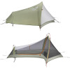
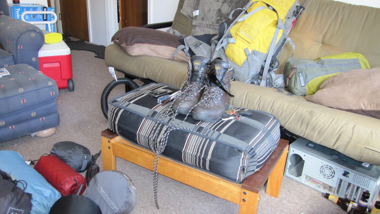
Next we loaded our packs with all of our non-expendable gear items: clothes, tents, cook set, water filtering equipment, emergency equipment, etc… From this weight extrapolated our average pack weight to be about 60 lbs. for most days. This seemed reasonable as well; in the winter I often carry about that much doing overnight ski skips in the Whites.
Using our average mileage and average pack weight we able to estimate our required caloric intake/day. (We found a reasonable looking chart that correlates those two variables.) This came out to a be a staggering 4500-5500 calories/day. This was sort of cause for concern due to the sheer cost of and weight of all of those calories. We set about finding the most calorie dense foods we could get our hands on…
  • The pemmican, seemed like a solid bet: about $25 for ~5 lbs, yielding nigh incalculable calorie count…
  • Over $100 of nuts and berries – they don’t go bad, they test great, calories, nutrients, how can you go wrong?
  • Fifty servings of oatmeal – cheap, filling, light
  • Gatorade mix – calories, electrolytes
  • Clif Shot Bloks, Clif Bars – dense calories, carbs, protein
  • And last but not least, 2 servings of assorted Backpacker’s pantry each per day plus a sprinkling of deserts and breakfasts.
That was a ton of money but, really no more than I would have spent eating in Boston for that amount of time. Now the question became how to get all of that food to the trail when we needed it there. We felt that minimizing rendezvous with various cohorts was paramount in order to cut back on total points of failure as well as to keep planning overhead to a minimum. We arranged to have Andrew Ziehl meet us at Killington (about 1/3 of the way North) on Day 7 and we planned to visit Alex’s cousins’ house at Mt. Mansfield whenever we managed to get there. We would pick up an extra 1/3 of our pre-bought food at each of these locations. The only stop we needed to get to by a specific time was Killington, and even that could be pushed back by a day or relocated closer if need be. It seemed pretty flexible.
Day 1

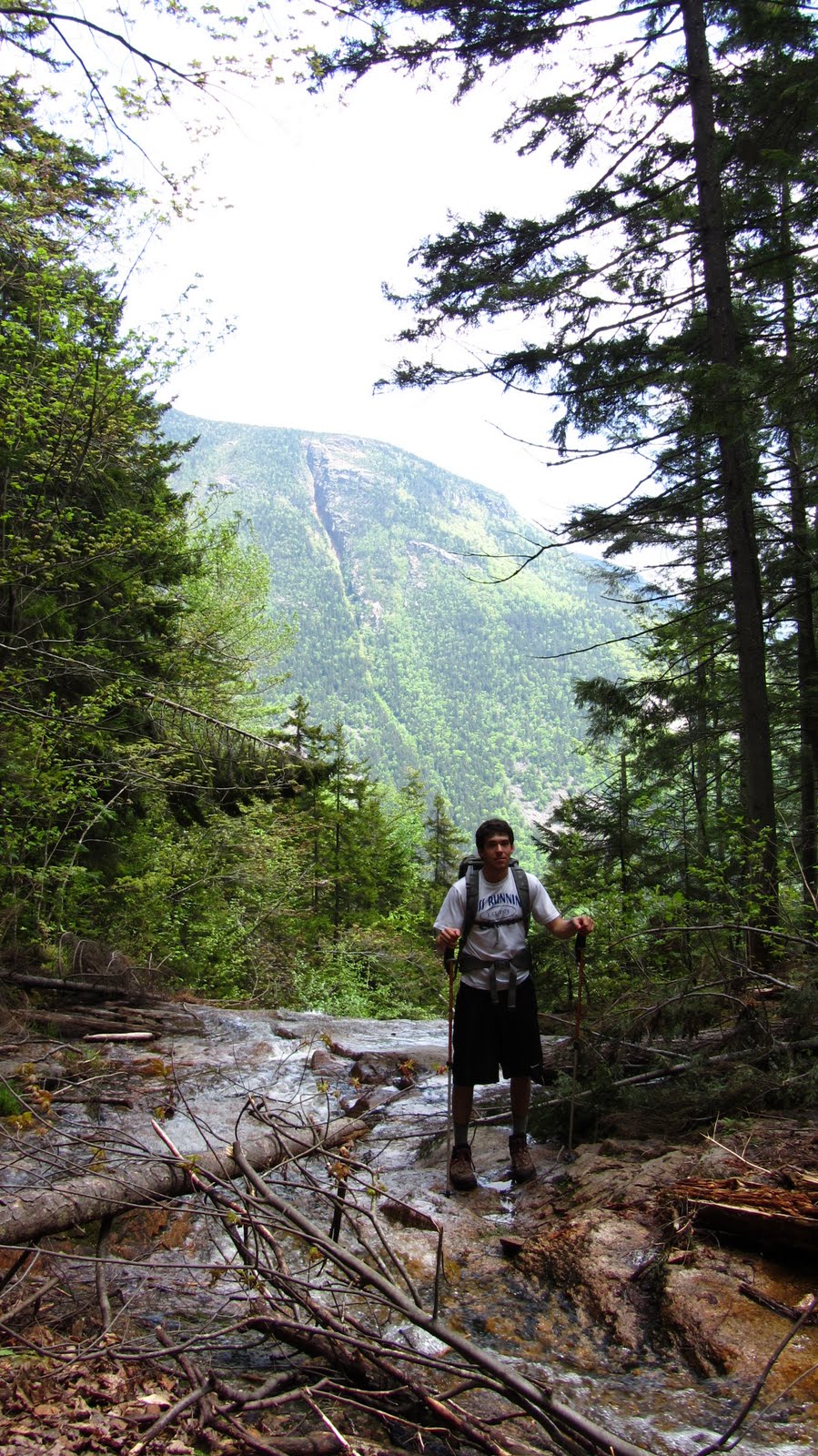
We planned to leave at 7am, arrive at North Adams, MA around 11 and hit the trail for a leisurely 10 mile stroll through the rolling hills of southern Vermont. None of this happened. We left at more like 8. We got to North Adams just after noon. We forgot that North Adams is 4 miles south of the border, so we actually had a 14 mile hike ahead of us. We did not become aware of this fact until about 10 miles down the trail when we began to wonder why we were’t there yet. Additionally it rained most of the day, the air was still, the humidity was in excess of 100% and the temps had to be in the 90s. It was a challenging first day. We made it to camp around 8 pm. We were on schedule, but pretty beat. I actually needed two hands to raise my Nalgene bottle for a drink because my shoulders were so tired… Before going to bed I gave my feet a brief inspection and what I discovered was rather alarming: my feet were swollen and covered in blisters…I’d put hundreds of miles on these boots over the previous year. Apparently the combination of 14 miles in the pouring rain and a 60 lb. pack take a toll on your feet. I slathered them in Neosporin and fell asleep.
Day 2

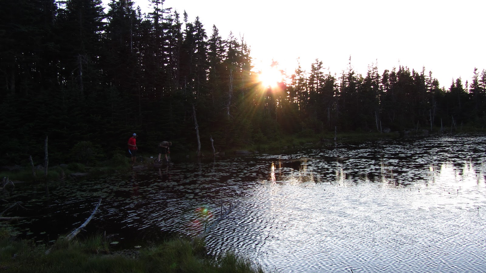
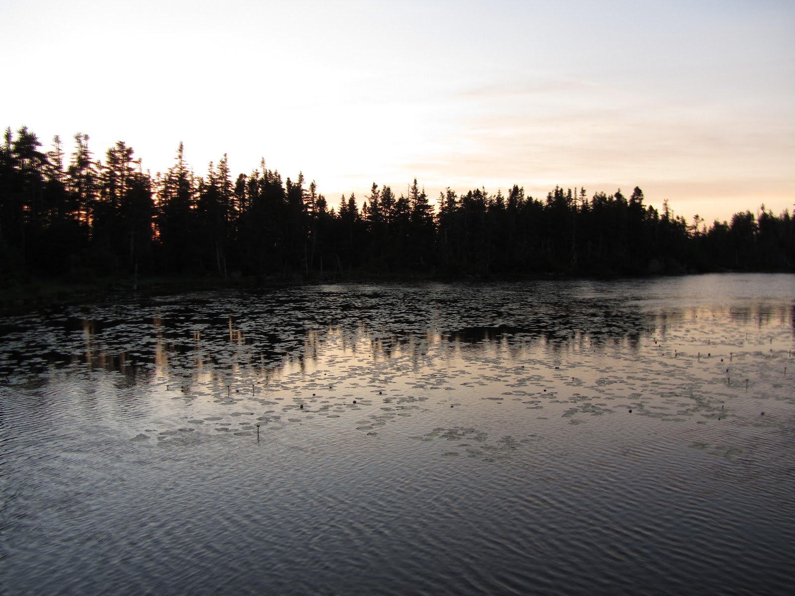
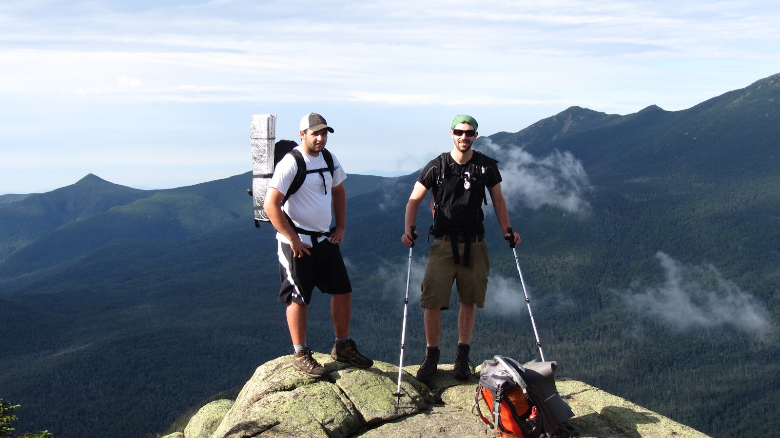
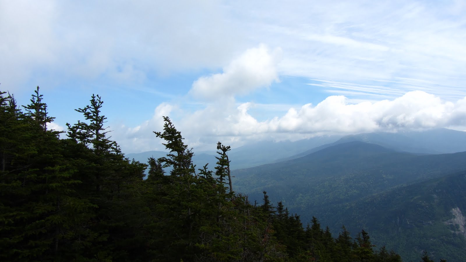
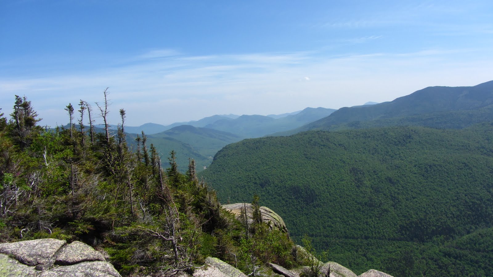
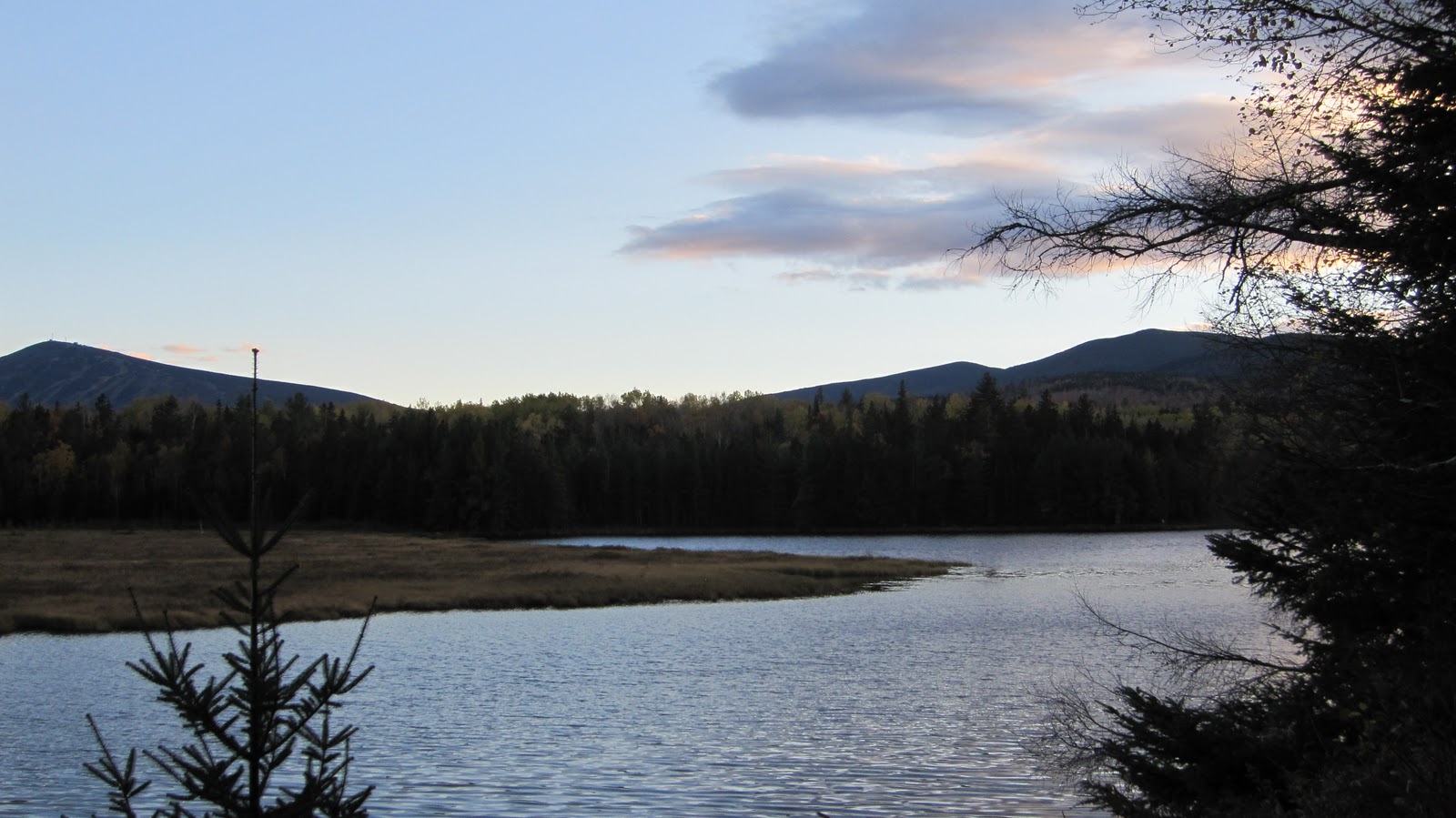
When we woke up I endeavored to fix my feat with topical pain killers, sterile gauze and duct tape. I’m pretty sure it helped because we managed 16 miles that day. For some reason the final 8 miles was 100% devoid of water sources so by the time we rolled into camp we were down to a few drops each. We were still on schedule, but no less exhausted, nor healed than we were at the end of Day 1. We decided to make camp, sleep in and take a half day the next day. The schedule and food provisions allowed for a day or two of slacking and this one seemed warranted given our condition. Plus the camp site was amazing – at altitude with a great view.
Day 3

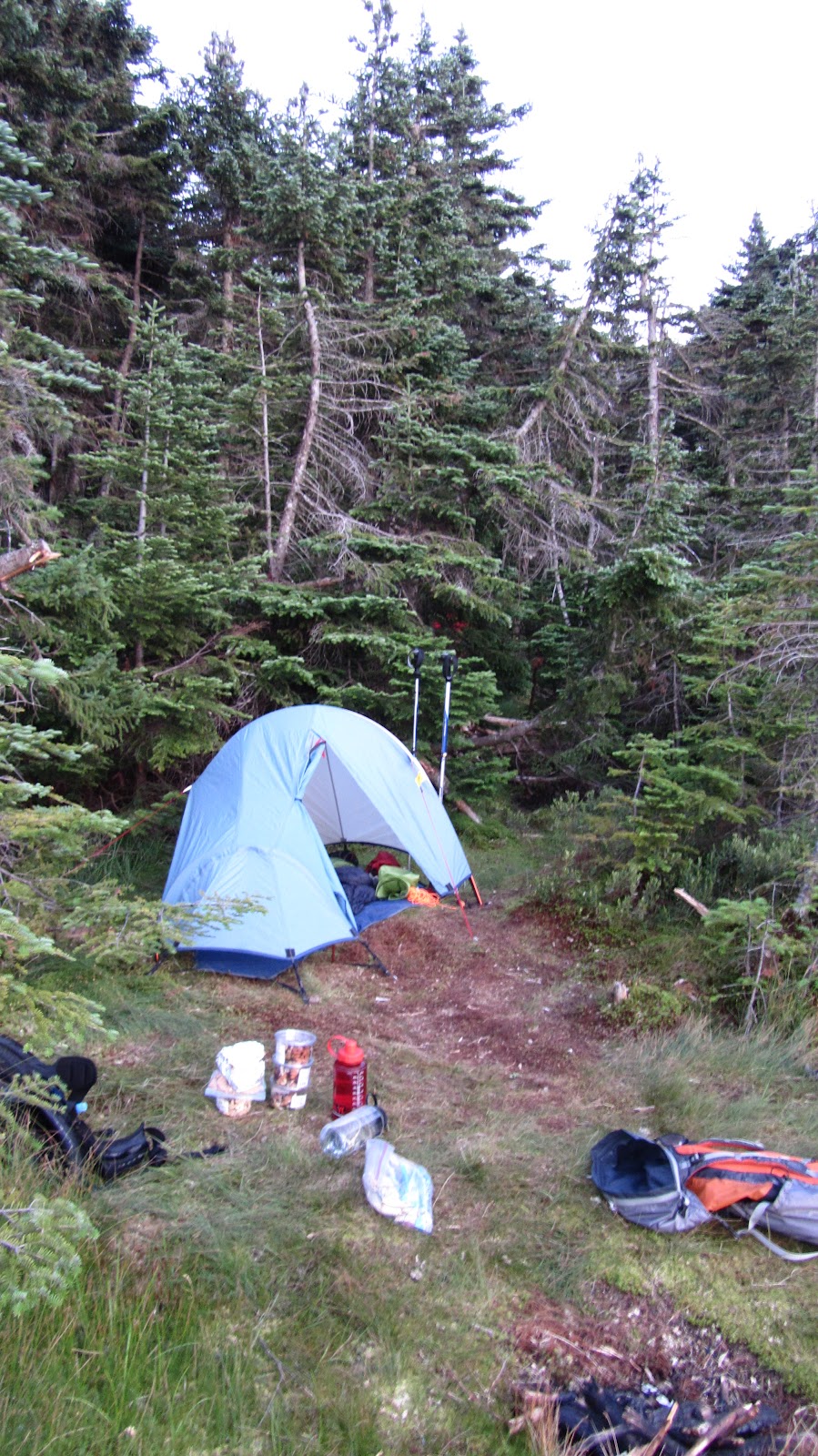
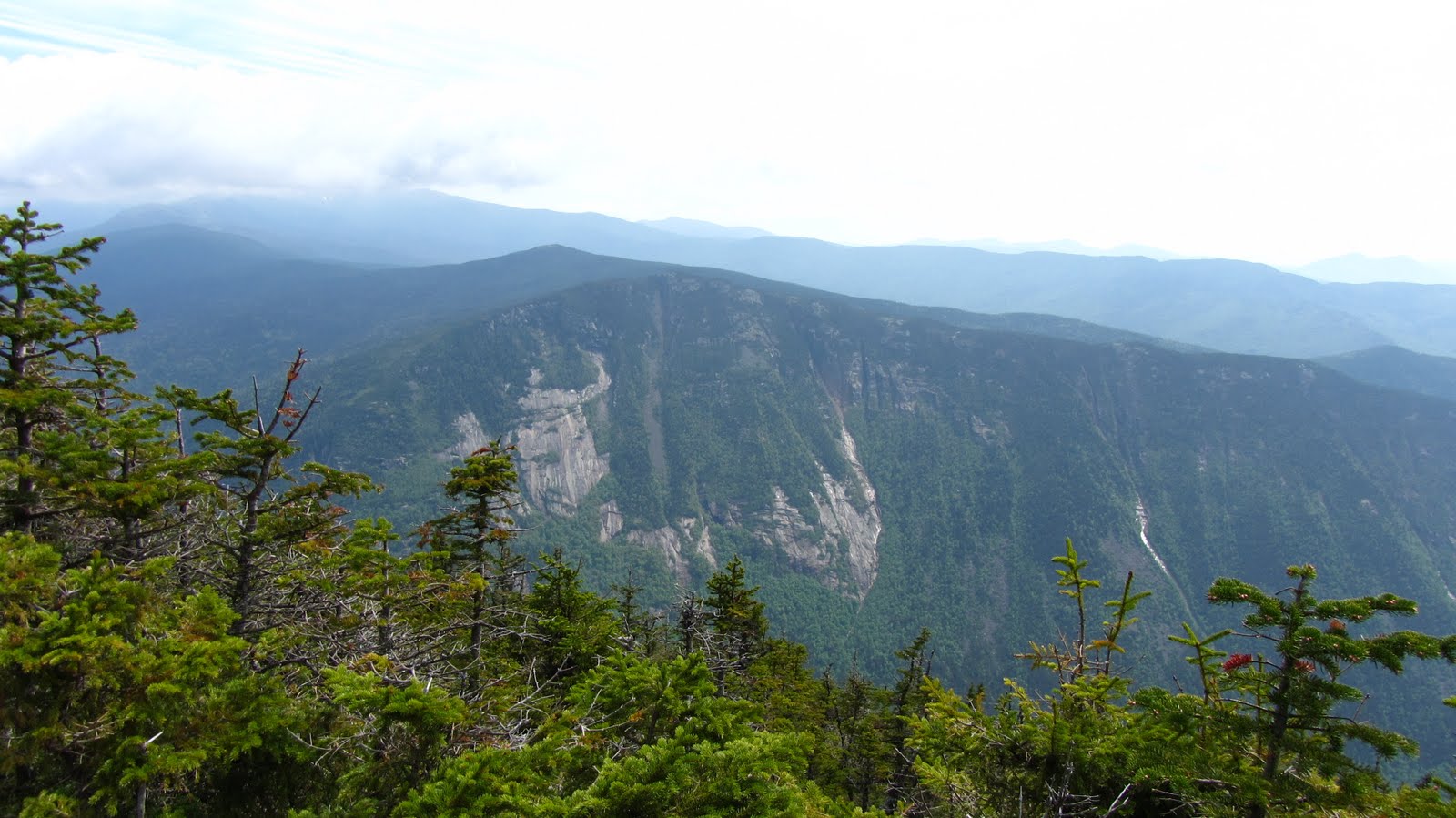
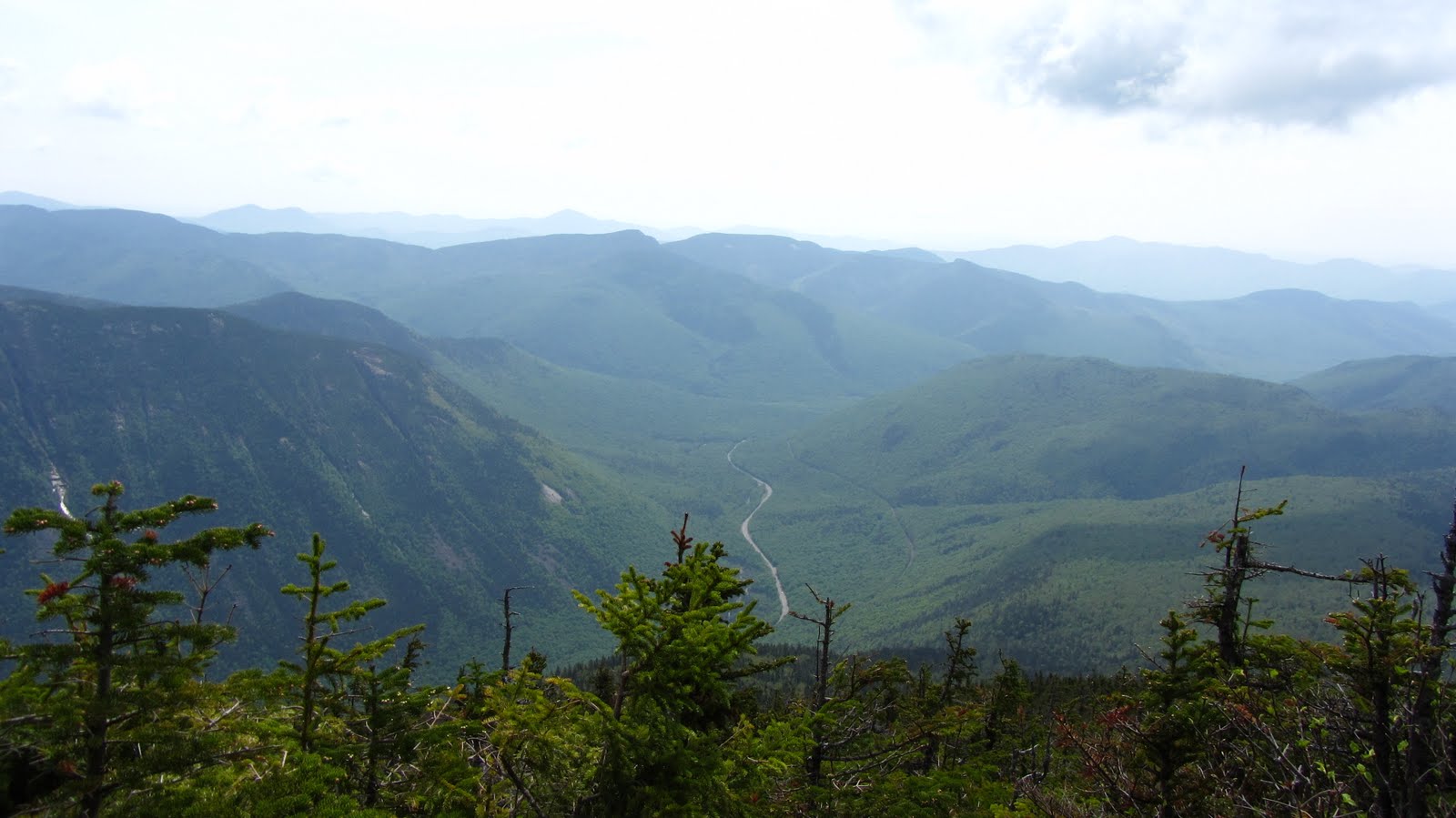
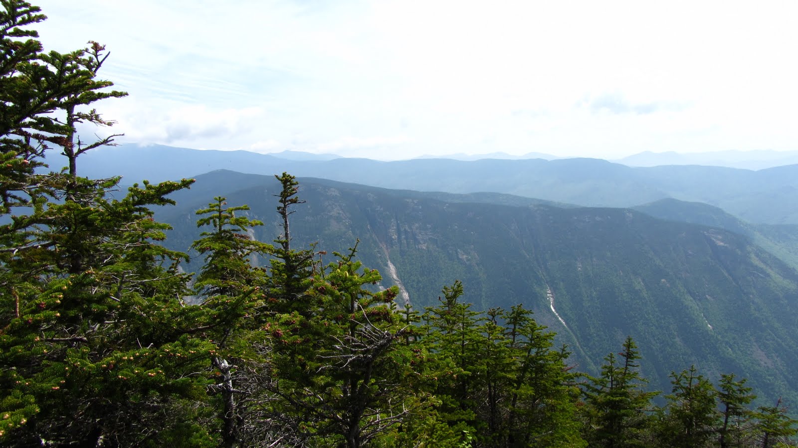
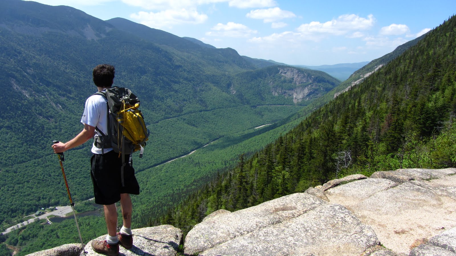
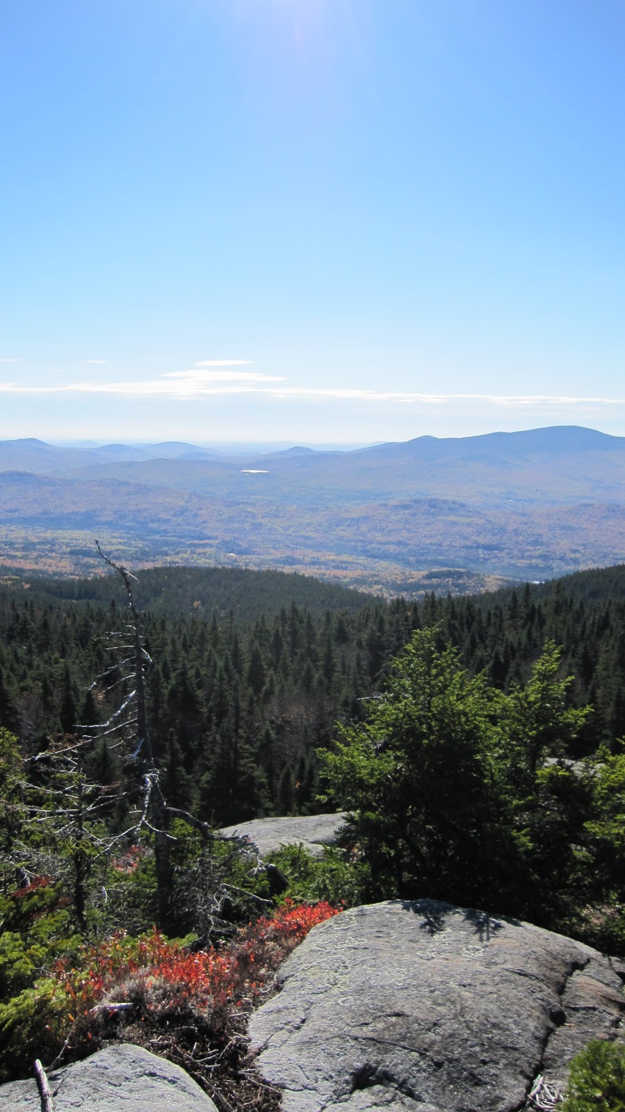
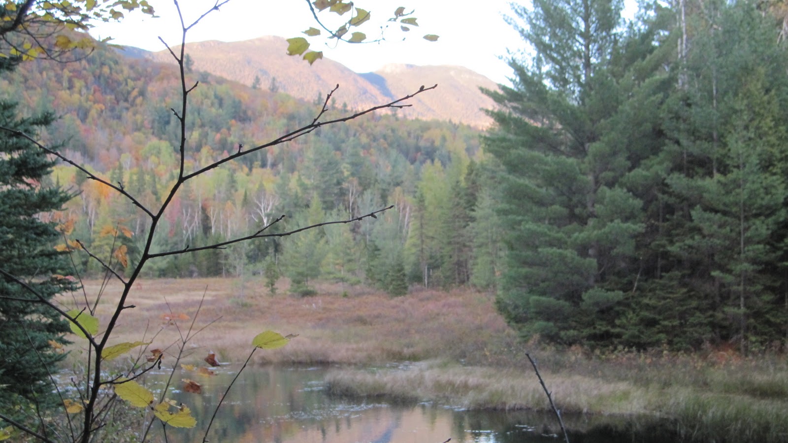
After a whole night of sleep, and a whole morning of slacking, my feet were still totally mangled and hardly fit for activity. This was supposed to be a 20 mile day – our first really hard day of the hike and we assumed that we’d be warmed up by this time. We were not. We hiked a scant 4 miles to the next closest camp site. Overall, it was a great day, we were in no rush at any point, we had ample time for recovery, we made it to camp on time for once, the weather was pleasant, we didn’t nearly run out of water. Nothing went wrong. Our camp site was even better than the previous one.
Note: Actually, one thing went wrong. I set one of my socks on fire trying to dry them by a campfire. Literally one side was on fire while the other was still soaking wet…
Day 4

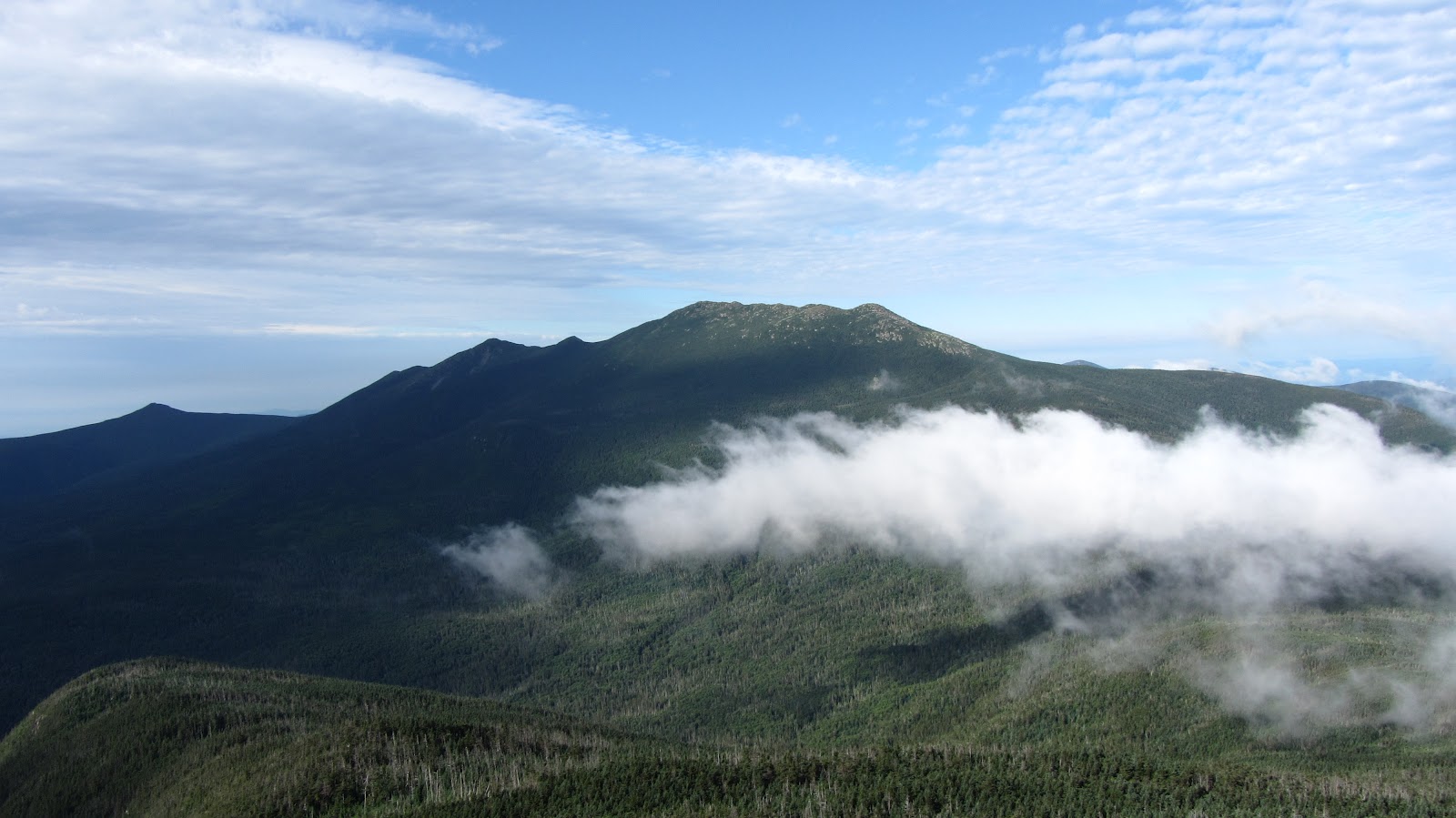
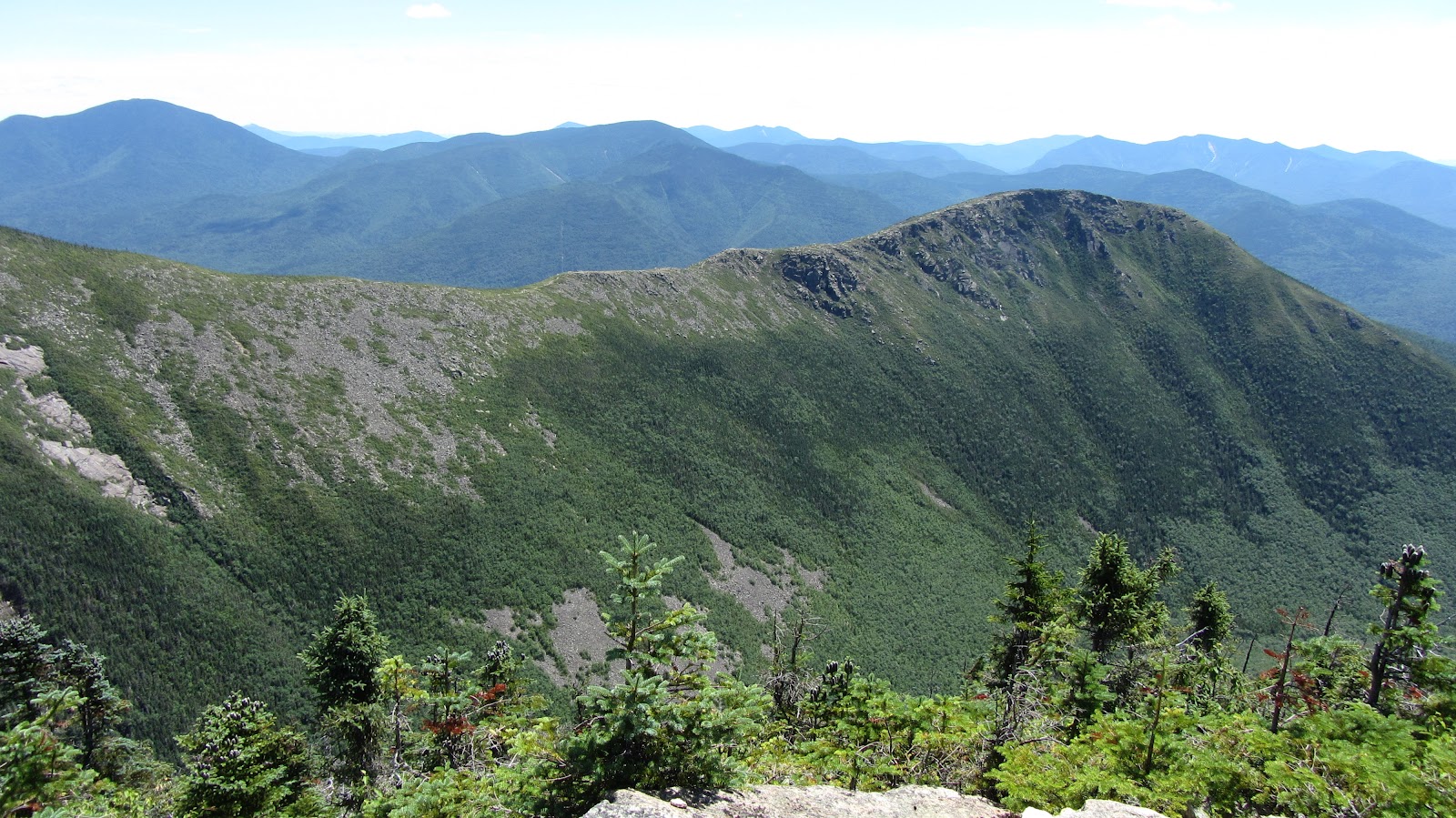
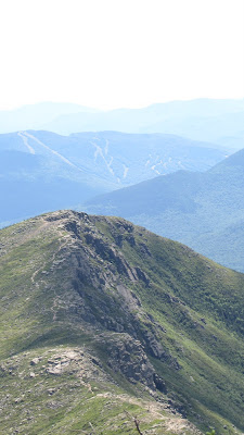
Having done some hardcore slacking the previous day, and having only 10 miles to cover, Day 4 also turned out to be a great day (It helped that we took a huge shortcut, avoiding summiting Stratton Mountain). Alex’s fly swatting count broke 100, and we made it to camp on time. We discovered that we were keeping pace with some of the AT through hikers which was a good confidence boost, as well as (mostly) good company. We also discovered that we had gained notoriety as “those guys that are constantly eating”. We thought we were consuming a reasonable amount of food. As it turns out, many of the AT hikers were eating less food and carrying only 4-5 days worth at a time, making stops in towns as necessary. In any event, we were enjoying feasting constantly and felt poised to seriously pick up the pace and start getting back on track.
Day 5

Day 5 was pivotal. We felt that making it past day 5 would put us close enough to Killington to get our food one way or another. Between my solar chargers and our phones we were able to communicate to Andrew that an earlier rendezvous might be needed. Things were under control. It seemed like a given that we would be able to hit our goals for the next day or two at which point we would be free to make as many schedule adjustments as possible.
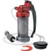
Of course this was all before the water filter broke. Somehow a bit of sand or sediment got sucked up into the cylinder of the pump and shredded an O-ring. It could not be repaired and we did not have enough fuel (or the time) to boil all of our water. We had to replace it with a new one. A caretaker was able to direct us to a nearby EMS – about 15 miles by foot. Fortunately 8 of it was on the way. The final stretch was along roads in some town. We felt it would be a good excuse to get real food, sleep indoors, and resupply. We covered 8 miles in 4 or 5 hours – by all indications we were actually starting to get warmed up for the rest of the hike…
However started to do some math and began to have serious reservations about our ability to keep pace. Yet again it poured essentially all day (or at least for all of the time we were hiking). My feet were slowly getting better (still swollen and blistery, but to a lesser degree), but beating on them in the heat and rain for another 15 miles would be a set back for sure.
We were a good 10 miles behind and our EMS excursion was going to set us back another 10 or so. A number of things occurred to us at this point. For starters, we were not going to be make it to Killington. Andrew only had a long weekend to spend meeting us with the food – we weren’t going to make it to Killington until Monday in the best case. If we were unable to rendezvous with him we would be forced to abandon that parcel of food (at least until we got back to Boston) and proceed buying extra food along the way in towns that we passed. The second realization was that it seemed highly probable that more set backs would occur – in other words, unforeseeable situations, which we would no doubt be able to deal with, as we had thus far, would crop up and set us back farther. This was problematic for two reasons:
  • We had planned on being away from work/Boston for a relatively finite period of time.
  • We had purchased our food and other consumable supplies based on that relatively finite period of time.
As we fell more and more behind we would be forced to get more and more food, re-arrange, our meetings at Mansfield and Canada and take more time out of work. Additionally the sense of urgency was growing. We realized our plan was fundamentally flawed and unsustainable. By this time we saw that we were taking a radically different approach than our peers on the trail. It was debatable as to whether or not we’d make it to Canada at all, given our time and money constraints. It seemed that the best plan would be to call it quits and do things correctly from scratch at a later date.
Summary

So what is correct? It seems that ‘correct’ would be the following:
  • Don’t do 30 miles in the first two days no matter how strong you think you are or how broken in you think your boots are, especially if it’s going to be hot and humid.
  • Everyone else had about 40 or 50 lbs of stuff compared to our 65. Carry less redundant stuff (lamps, batteries, duct tape, repair materials – expect things to fail/run out and replace them as needed)…
  • Don’t try to meet people places – cell service is too spotty for this to be reliably coordinated.
  • I want to say eat less because that’s what everyone else was doing, but I also prefer not to waste away to 150 lbs in 2.5 weeks… the jury’s out on this one…
  • Carry only 4-5 days of food at a time and resupply when you run low.
  • Allow for time spent resupplying.
  • Allow for time spent chillin’ at random places that seem nice to chill at – we were in a huge rush the entire 5 days. It was stressful which was counter-productive and less fun.
  • Allow for time spent recouping from whatever you might need to recoup from.
  • The last bullet point deserves a whole paragraph:
Do not attempt to adhere to any sort of rigid schedule where rigid schedule is defined as anything correlating dates, times, waypoints, goals, destinations, supplies or the like. In other words – NO SCHEDULE. It won’t work!
The irony of all this, of course, is that we seriously considered just winging it in lieu of a formal plan and decided that this was irresponsible and not the way to tackle such a serious endeavor…
It’s all good though, now we know what to do next time and as an added benefit, I can’t feel any load less than 35 lbs.