In an effort to escape last weekend’s heat, Rob, Ziehl and I literally ran for the hills. At the time of this trip’s original incarnation we actually had a decent sized crew signed up to attend, but one way or another, all but the three of us bailed at the last minute. We began to realize this while en route to our camp site Friday night. In light of these developments we began to wonder if something more ambitious than the original plan was in order. By the time we made camp and had cracked our first cans of Harpoon (yes, cans!) the plan had grown in mileage by a whopping 100%. But I’m getting ahead of myself…let’s rewind.
Our main objective was to satisfy our annual Huntington Ravine requirement. If you live in New England and like to climb mountains, this should be one of your annual objectives, as well. Its like a huge outdoor playground – it’s steep enough that it’s a technical climb in winter or wet conditions. In the summer it’s just plain fun.
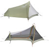
Additionally, Ziehl and I were hoping to smoke test our tents in their respective ultra-light configurations: sans tent body, pitched with only the fly and footprint. The weather was expected to be fair and we would car camping at Dolly Copp Campground the night before the hike. It seemed like an ideal sandbox for testing gear before trying this out in the field without the benefit of an escape plan.
View July 2011 Huntington Ravine and Great Gulf Trek in a larger map
As we approached the campground on Friday night we began to hash out various routes down from Huntington Ravine. The obvious options were Lion’s Head, Tuckerman Ravine Trail, Boot Spur, etc… All of these are nice hikes, but on exceptional weekends such as this, they’re all bound to crowded. A fourth alternative became clear: hike out through the Great Gulf, find the AT and ramble back toward Pinkham Notch. The only real question was whether or not this would be feasible with a large group. As you may have guessed by now, this problem promptly solved itself. We made our camp, spec’ed out the mileage – about 13 miles, had a quick night cap and hit the sack under a bright full moon.
My Sprite 1 Pitchlight configuration actually turned out to be extremely pleasant – the tent actually becomes slightly more spacious, the lack of a tent body prevents condensation, the whole thing becomes extremely packable and it’s still fairly easy to set up. Here’s some wobbly video and a photo, just for posterity:
 |
| You can imagine some trouble in a hurricane, but I think for summer camping, this is going to be my go-to setup. |
We hauled ourselves out of bed around 7:30 Saturday morning, cleaned up our mess and made the arduous drive from Dolly Copp to Pinkham Notch – a grueling 3 minutes followed by about 5 more spent searching for a parking spot. We were on the trail by quarter of 9.
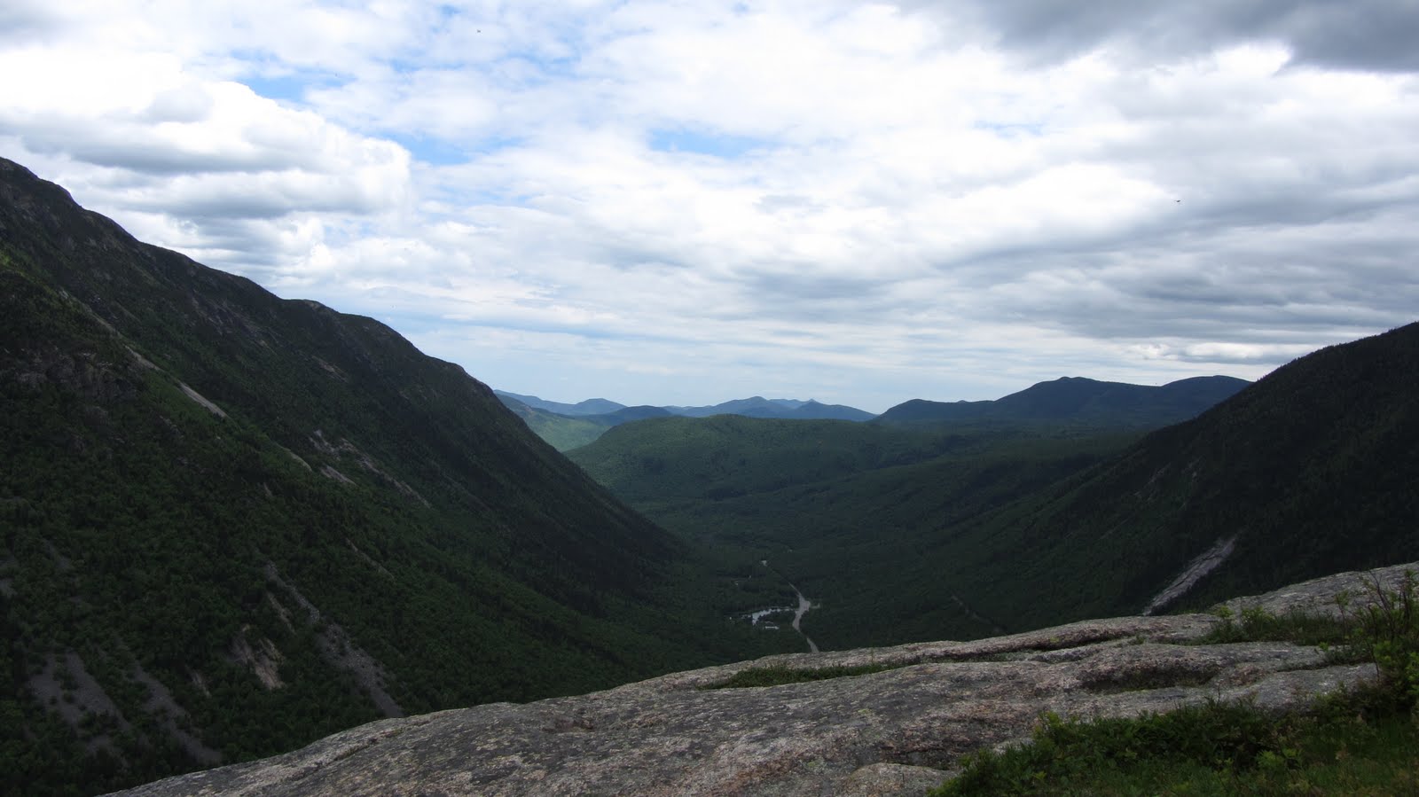
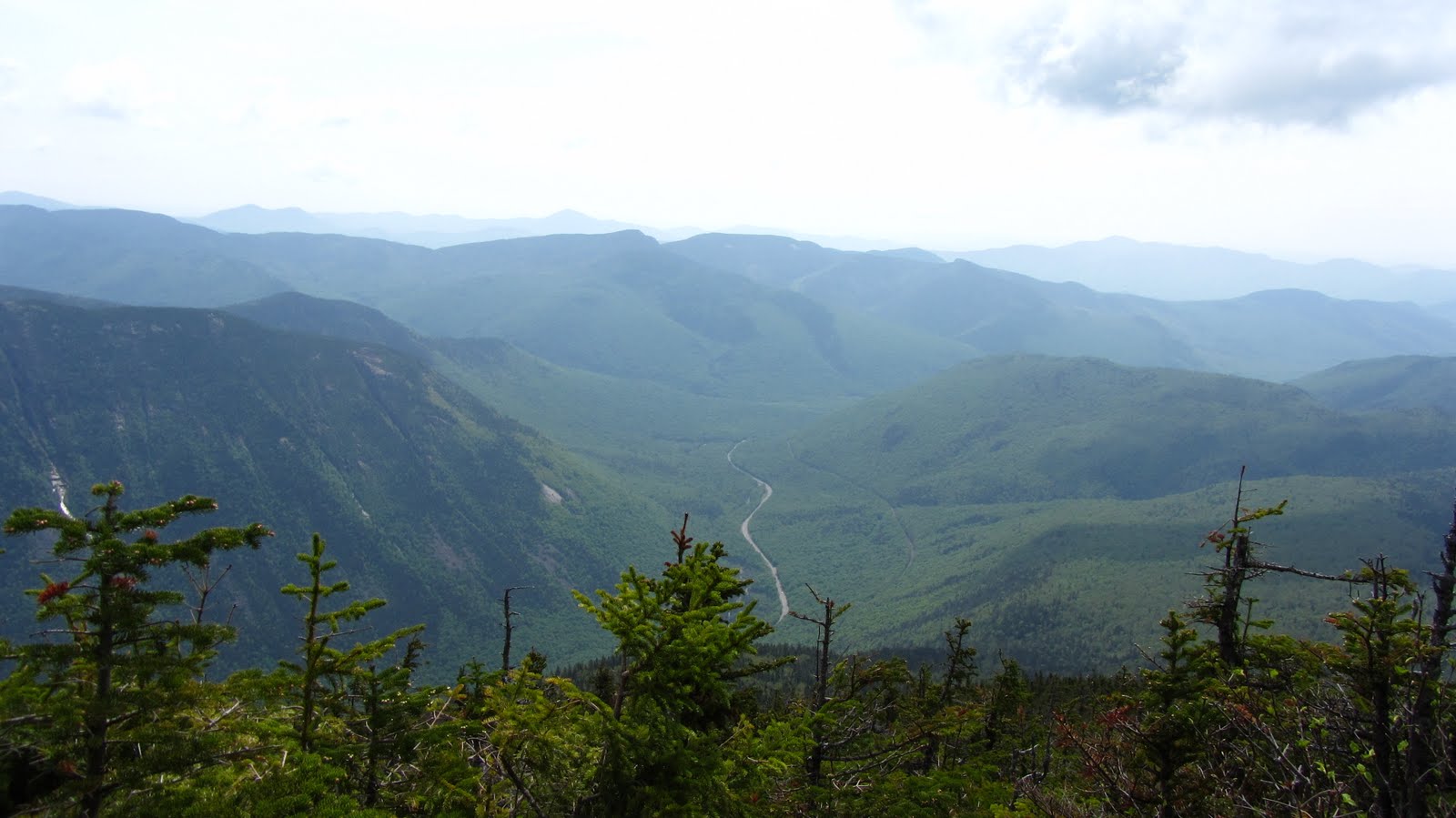
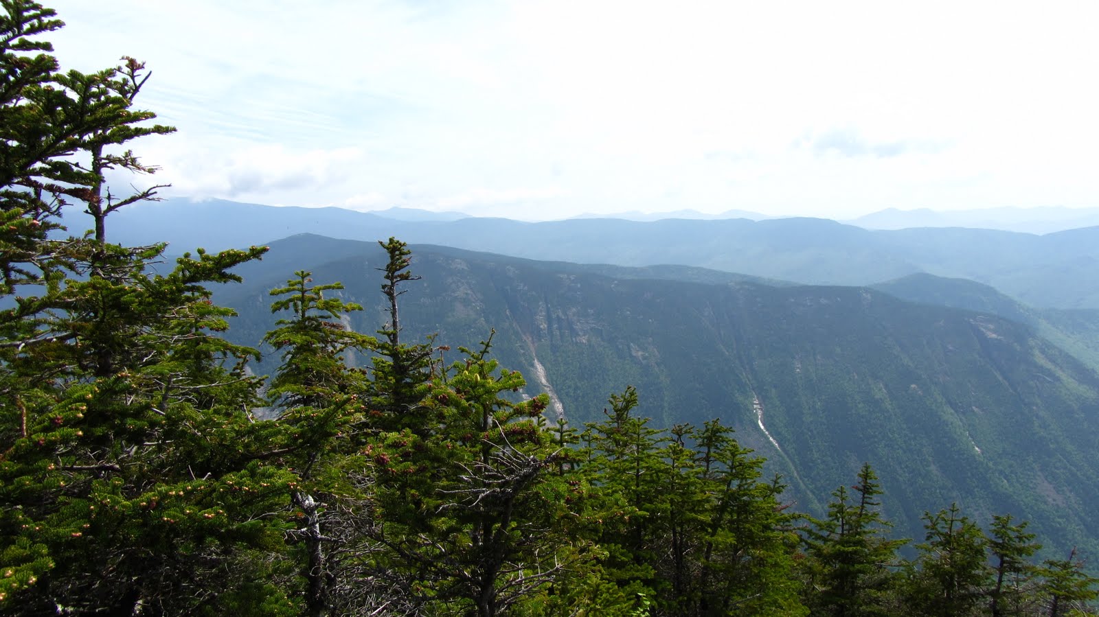
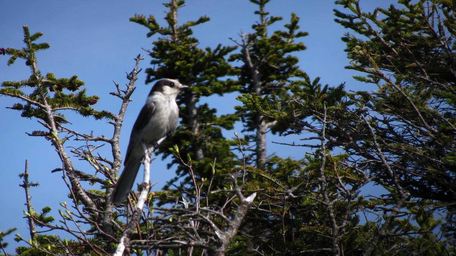
We flew up the Tuckerman Ravine trail in an effort to beat the crowds to Huntington Ravine, but as it turned out, more than just a few people had the same idea – and who can blame them? By the time we made it to the cutoff, I was rough shape – it was less than two miles of hiking, but I must have been dehydrated, out of shape or some combination therein. Either way, once we started to catch glimpses of Huntington Ravine my strength began to return. It’s an intimidating but surmountable challenge. Anyone with the slightest bit of adventurousness in them would jump at the chance to scramble up this cliff:
View July 2011 Huntington Ravine and Great Gulf Trek in a larger map
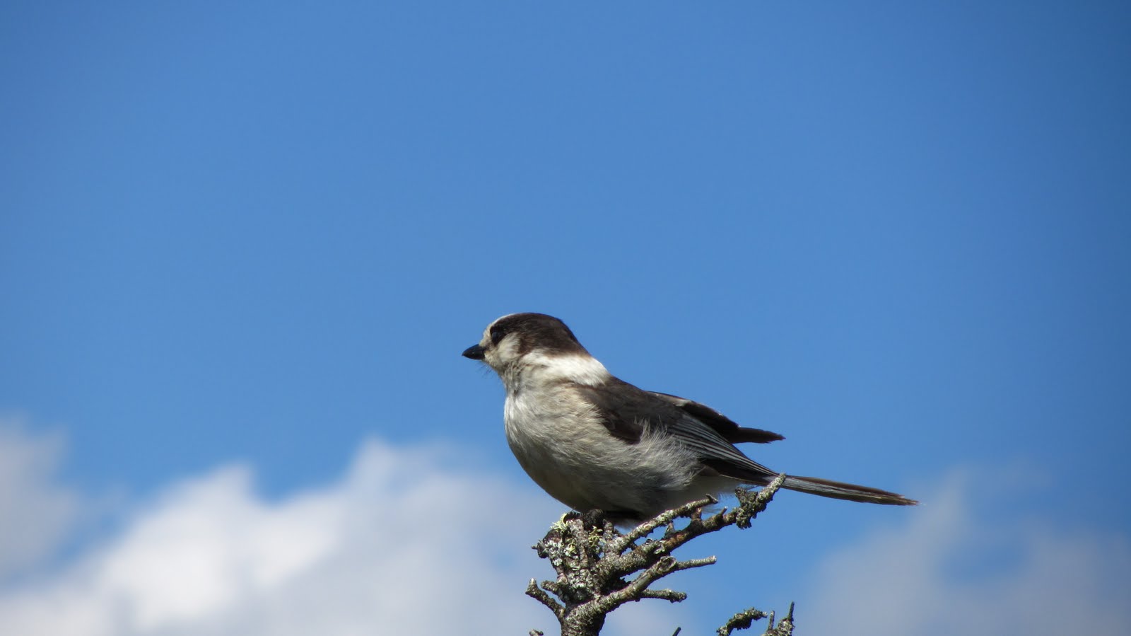
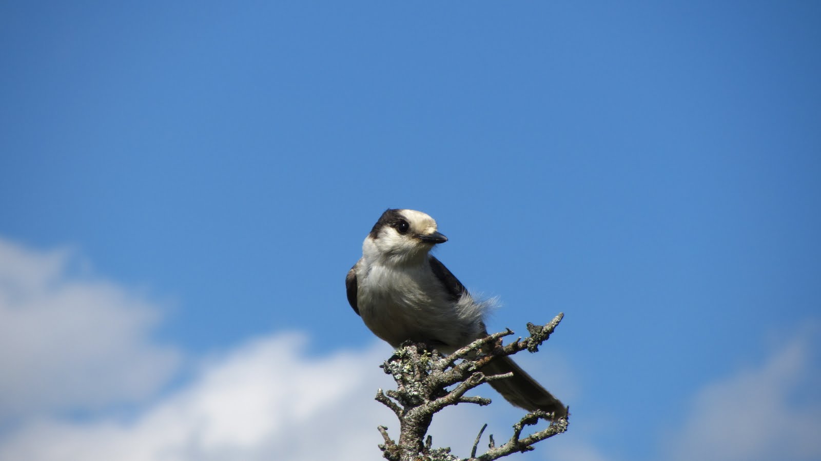
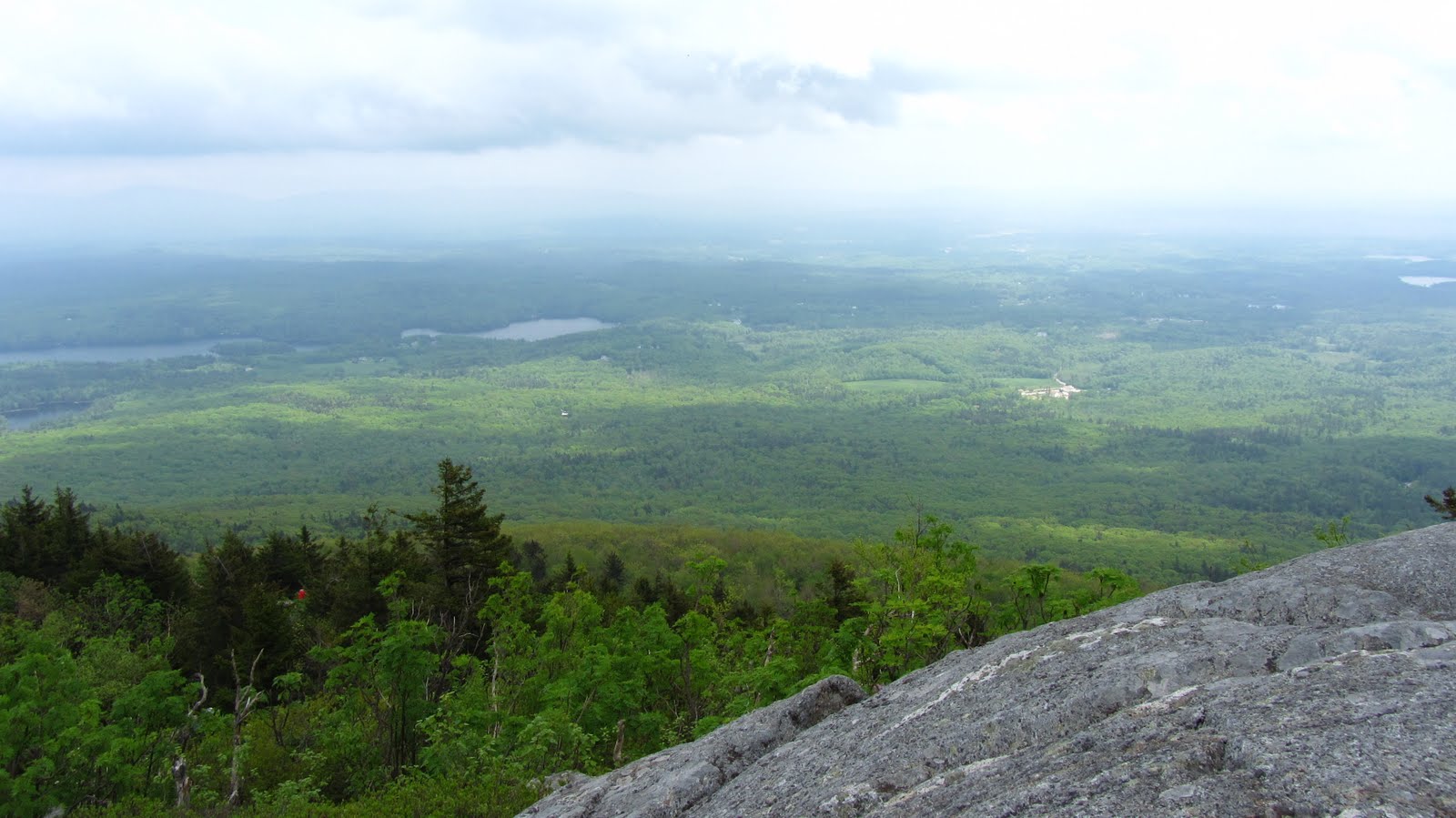
The view above roughly represents the perspective observed when you first begin to see the ravine through the trees on the approach. We took a break for some snacks and water toward the floor of the ravine and then charged up it. Unfortunately, in our haste we neglected to take any photos while in the ravine. Once at the top we took some time to relax in the cool breeze and snap a few photos.
 |
| Ziehl, and Wildcat in the background. |
 |
| Looking southeast over the Ravine. Photo credit: Ziehl |
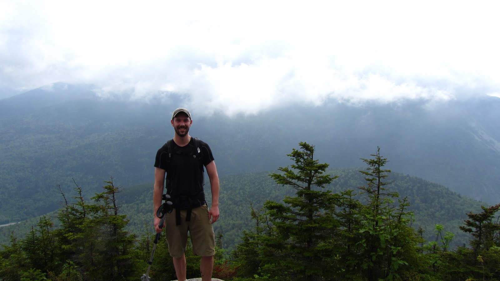
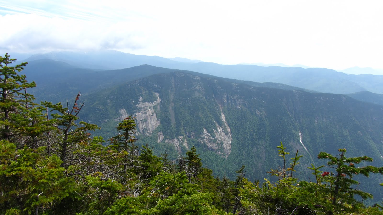
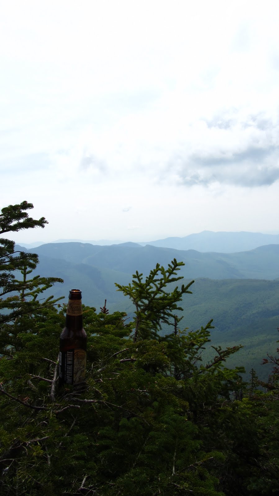
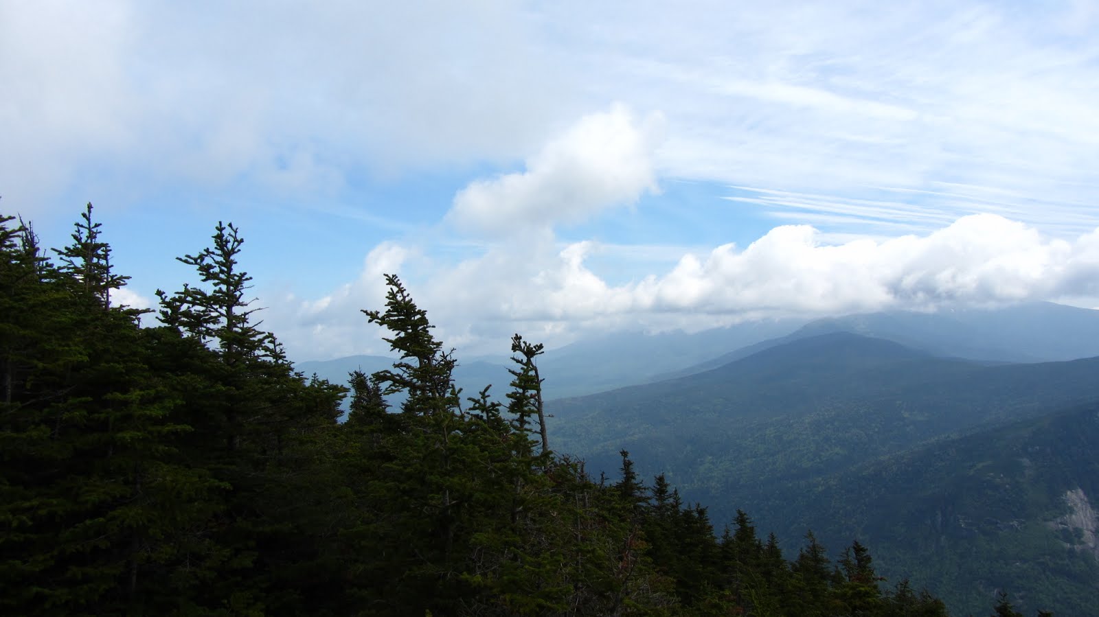
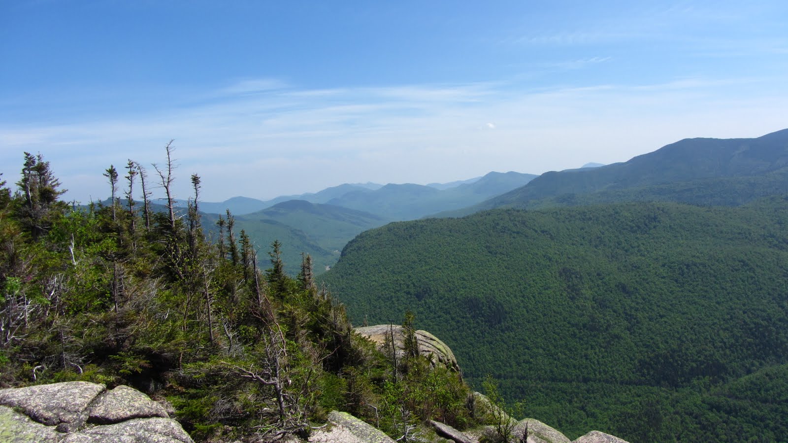
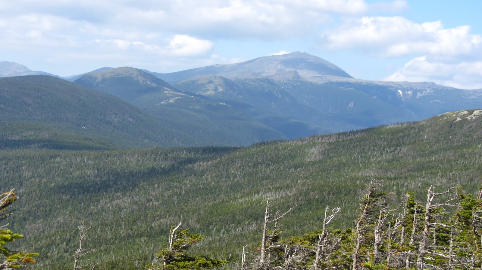
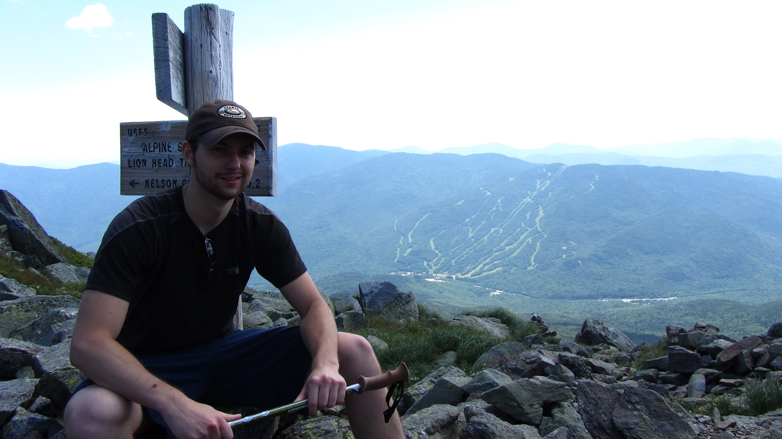
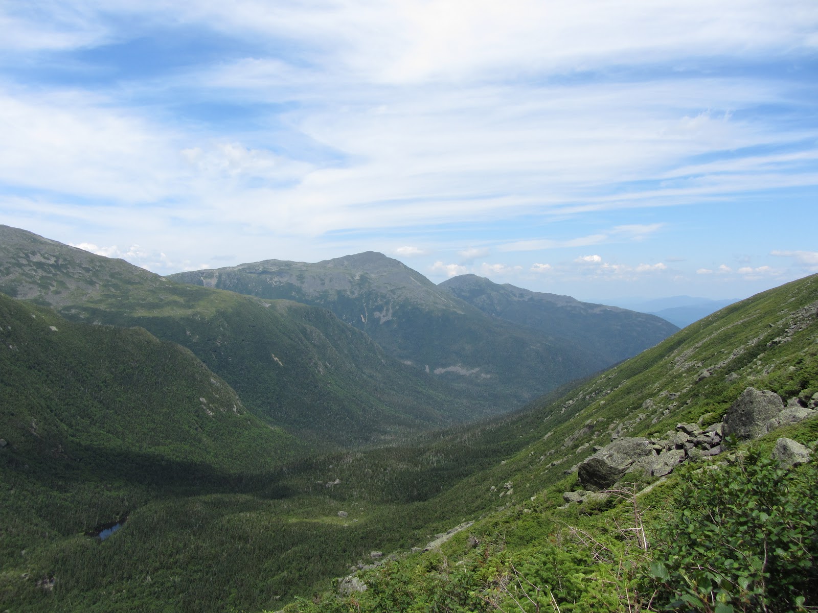
After catching our breath we headed up to the summit – a fairly short stretch of scree and pavement – where we enjoyed some summit beers, and trail mix. Once we were good and recharged, we filled up our water bottles and headed North, toward the Great Gulf. Behold:
View July 2011 Huntington Ravine and Great Gulf Trek in a larger map
 |
| Looking toward the Great Gulf. |
 |
| Ditto. |
 |
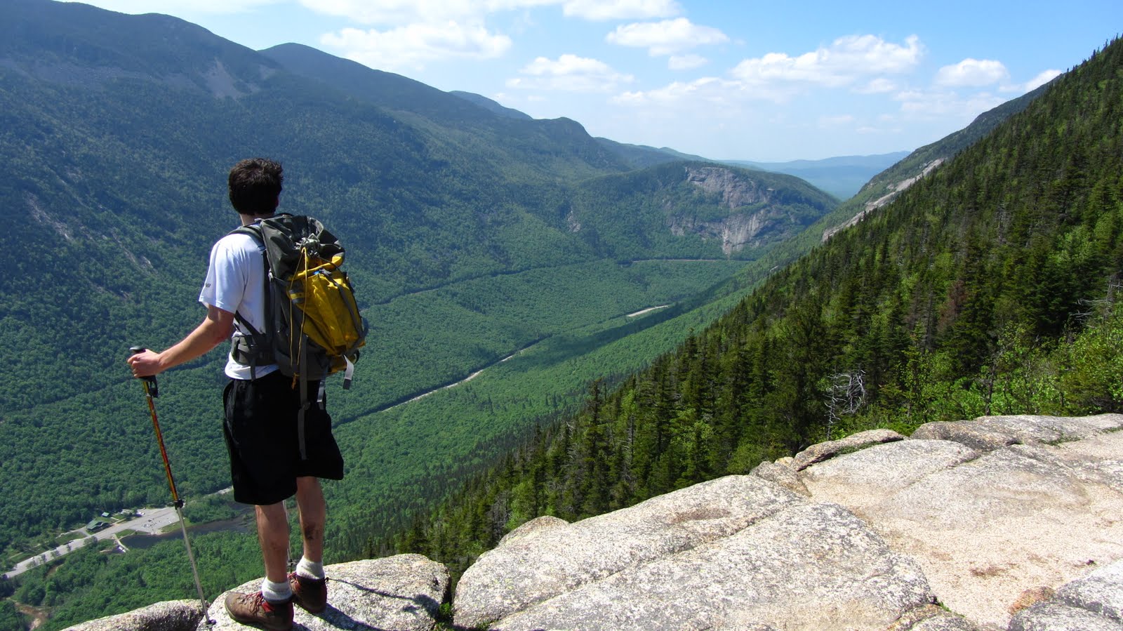
| On our way into the Great Gulf! |
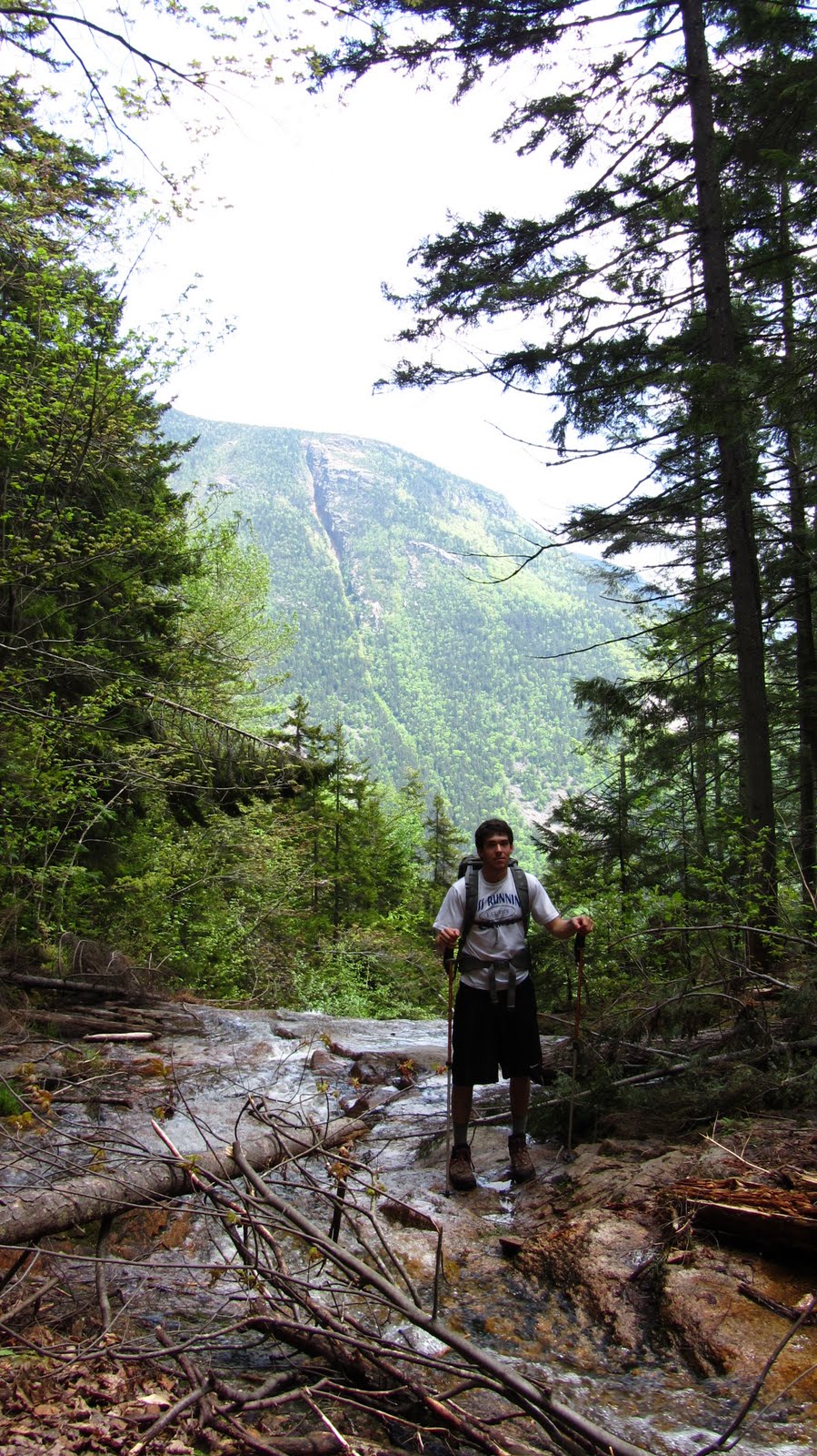
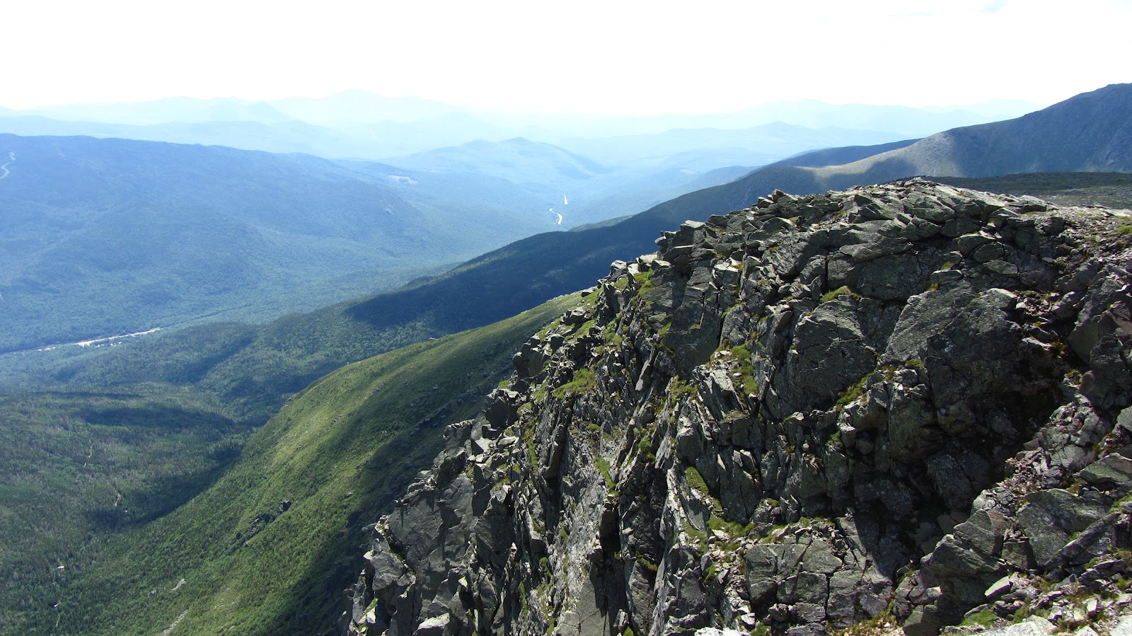
The trail basically plummets over the rim and into the Great Gulf. At some point during the descent Rob remarked that had we bothered to read the guide book, it probably would have advised us against down climbing this particular trail. It was steep, wet and full of loose rock. In any event, it offered us an excellent view of the Gulf.
 |
| Looking Northeast out of the Gulf. |
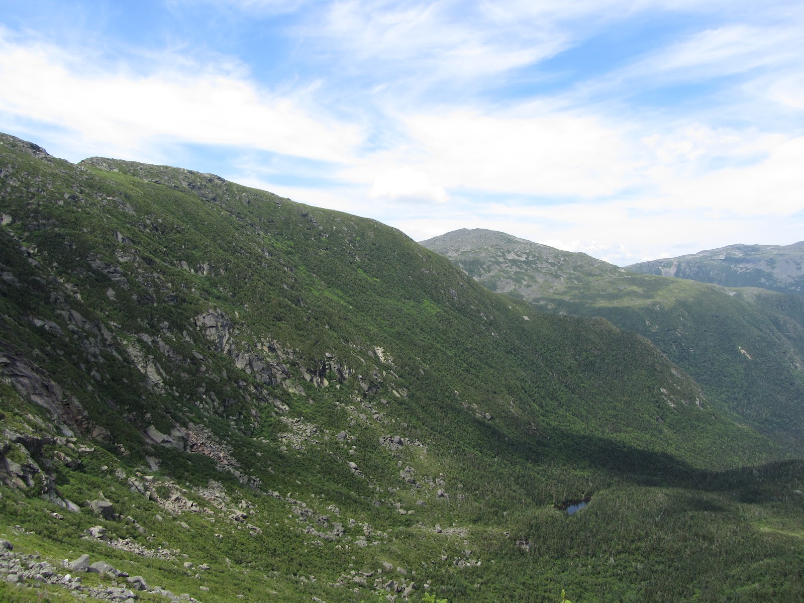 |
| Same |
 |
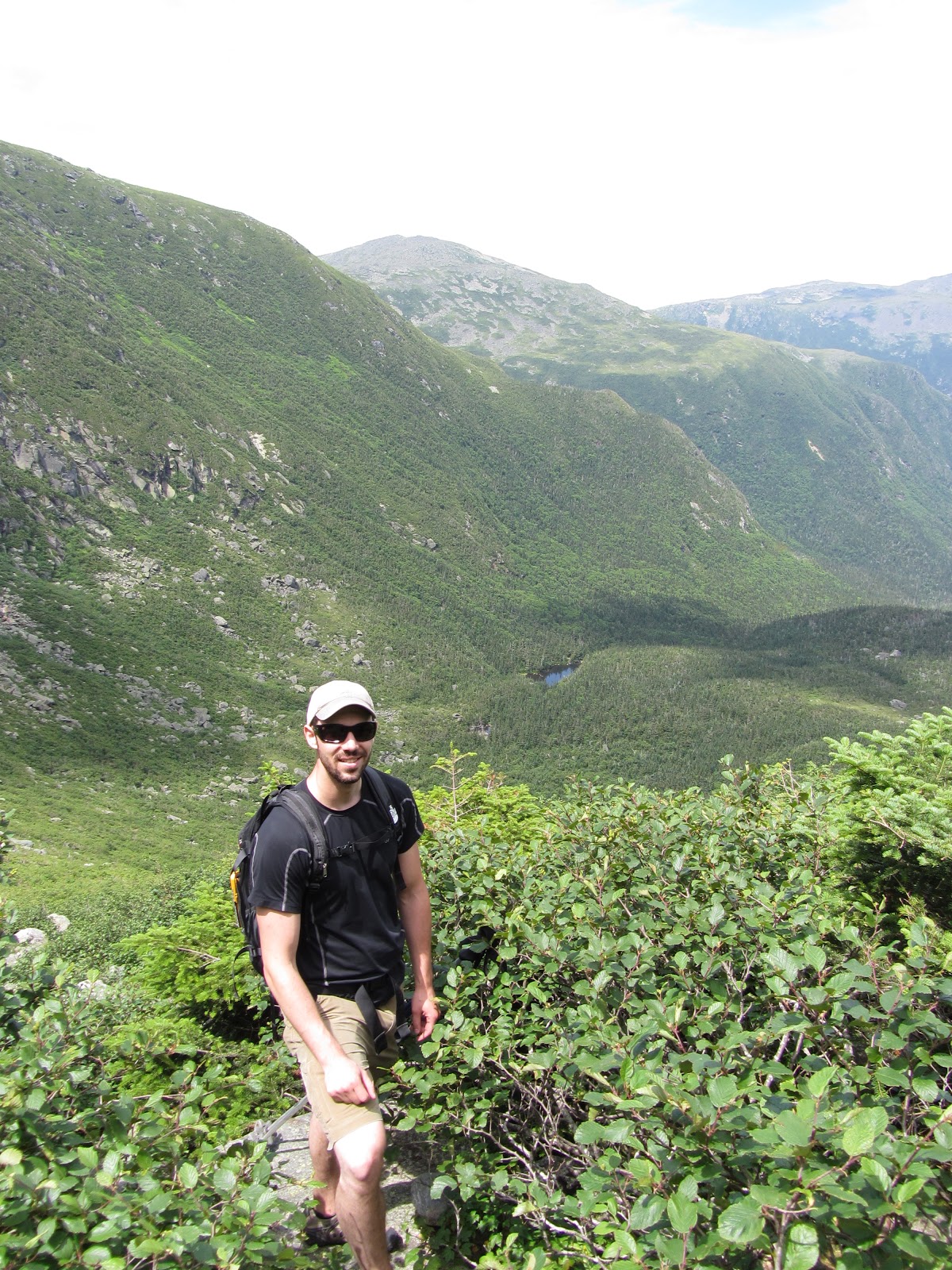
| Ziehl. |
 |
| Me. Photo Credit: Ziehl |
 |
| The trail doubles as a waterfall in many places… |
 |
| Spaulding Lake |
 |
| Looking back up the ravine. |
 |
| This was a typical scene on the route out. |
 |
| Swimming hole! |
None of us had really spent much time in the Great Gulf, so this part in particular turned out to be pretty enjoyable, especially since we had ample opportunity to study the area before next ski season!
View July 2011 Huntington Ravine and Great Gulf Trek in a larger map
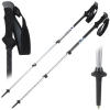
Gear List (click links for more product info):