Tag Archives: foliage

Fall From Different Heights

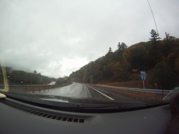
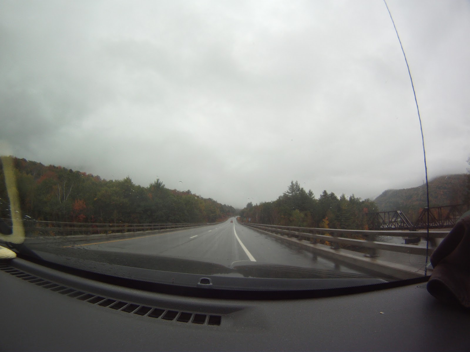
October is always a month of transition, especially in the PNW. I love the shoulder season, with the crisp Fall air which eventually brings snow and the anticipation of winter. It’s still surprising what a difference one week can make, and a few thousand feet of elevation.

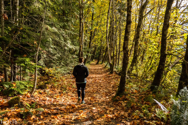
Two weeks ago Catherine and I did the enjoyable Iron Goat loop hike, a 6 mile jaunt. The trail follows the old railroad bed used by early steam engines to climb over Steven’s Pass until the tunnel construction finished. It also officially terminates at Wellington, the site of the largest avalanche disaster in the US, in terms of fatalities. We caught great fall scenery on a relatively clear day! Of course in true PNW fashion, it rain the week before and the week after.

DSC02565

DSC02567

DSC02569

DSC02573

DSC02575

DSC02577

DSC02582

DSC02584

The caboose marks the turn around point, after which Catherine and I hiked the upper railroad grade and detoured to Windy Point. There we enjoyed some great views and met a trail crew volunteer. He told us a bit of history of the iron Goat trail restoration, and helped remind me that next summer I want to be more involved in hiking trail crews to give back and help others enjoy the great hikes out here.

DSC02588

DSC02590

DSC02593

Windy Point used to be a precipitous turn for the railroad, until a tunnel was excavated into the hill the make the turn less sharp and protect trains from winds and weather.

DSC02595

DSC02597

Iron Goat trail was full of remnants of structures, tunnels and history, which you’ll have to go investigate for yourself! I don’t want to give it all away but there was a lot of signage and great stories from the past.

Kendall Katwalk

Last weekend I convinced Tim and Dylan to do a more typical PNW hike-in the rain. We headed to Snoqualmie Pass to investigate the Kendall Katwalk near where Sweeney and I skied last April. The hike was serene, if lacking in views, and we had an awesome time! We also got soaked. We encounter rain, sleet, and heavy snow, with below-freezing temps and lots of snow at the Katwalk.

We knew there was a possibility of laying some tracks in the North Cascades, but I’m glad we did this hike and content to wait a few more weeks until there’s more snow to go crazy over. We’ve got a whole winter ahead of us!

DSC02599

DSC02600

DSC02601

DSC02603

DSC02607

DSC02610

DSC02613

DSC02617

DSC02618

DSC02621

DSC02622

The Katwalk proper looked a bit less striking in the low-visibility conditions. “I think…this is the catwalk?”, I exclaimed as we passed across it. We decided to go a bit further and hang out in a grove of trees to have a snack before descending.

DSC02626

DSC02627

DSC02625

Turning around we encountered a few other groups, and we were glad to have made the first tracks up for the day and have the trail to ourselves for the most part. On the descent the snow, and then rain, really turned up a notch.

DSC02629

DSC02632

DSC02633

DSC02634

DSC02635

DSC02630

DSC02636

DSC02638

DSC02641

With the high country getting hit by snow, this probably marks the last high elevation hike, and the start of touring season on the horizon! Bring on the snow! Here’s praying we don’t fall prey to El Niño.

Tucks and Lion’s Head Trails

The objectives were two fold: peep some leaves and get in another more pre-season conditioning climb up a big mountain.  The weather was essentially horrendous, with visibility approaching nil at the summit and winds gusting in the 60s, to say nothing of the driving rain.  Despite the inclement weather I was rewarded with a few glimpses out of the Ravine and across the Notch.  These are the ones that made the cut:

Fall Fun

A few weekends ago, Ziehl, his friend Annelise and I headed off to the Sandwich Range for a short hike and some ski recon.  We decided to tackle Osceola and see if we could get a close look at the slides running down toward the Kanc on the North face of the mountain.  The ski recon turned out to be a total flop: once at the top, we found ourselves totally socked in with only 100′ or so of visibility.  We could probably have bushed-whacked to the slides using Backcountry Navigator for bearings, but the undergrowth was so thick and the visibility so poor that we scrapped that part of the itinerary.  We would have had to trample all sorts of alpine plants and probably still not get a great look at the objective.  The rest of the hike was pretty nice though, and Ziehl documents it here.

View Osceola Southern Approach in a larger map

After the hike, we decided to have some fun with my GoPro by mounting it in the windshield of my car for our exit from south side of Osceola via Tripoli Road.  Tripoli Road is a windy mountain road which snakes through Thornton Gap.  The road is seasonally closed, and is mostly unpaved.  It’s a quintessential New England backcountry road.  We aimed the GoPro out the window and set it to fire a single still shot once every 2 seconds.  While less than perfect, there were a few nifty shots in the bunch.  Here’s the best of the lot…

Gear List (click links for more product info):

Buy GoPro HERO Camera at GoPro.com

Marking One Off The List

My sister and I had been wanting to hike Mt. Mansfield ever since she started going to school in Burlington.  Last year we considered it but hiked Camel’s Hump instead.  Last winter I thought about laying down some turns off the mountain, but we never caught the snow right, or went to Mt. Washington instead.

Finally, we can mark this off the list, but the mountain wasn’t going to give in so easily.    The day started off right–calm weather near Stowe and hearty breakfast sandwiches.  However, that was the last time we were dry during the hike.  The ascent brought rain, then wind.  Above treeline the gusts must have been upwards of 50-60 mph.

However, we weren’t going to let a bit of rain keep us from having fun.  We hiking along the ridge after ascending via the Long Trail, from the Chin to the road near the Nose

Lots of fog and pelting rain were waiting for us above treeline.

Lots of fog and pelting rain were waiting for us above treeline.


Yes.  Hiking the ridge was more interesting than re-routing on the bad weather routes.

Yes. Hiking the ridge was more interesting than re-routing on the bad weather routes.

We did eventually leave the ridge.

We did eventually leave the ridge.

We left the ride on the Amherst trail to the toll road, and then descended on the Hazelton trail which ran through part of Stowe resort.

Looking through the fog at Stowe.

Looking through the fog at Stowe.

Foliage galore

Foliage galore!

Lots of stream crossings.

Lots of stream crossings.


No snow here...yet.

No snow here...yet.

We missed the first real snow on Mansfield by two days! The photos on the FIS website show a little different look at the Stowe gondalas just a few days later.

Done! Time to walk out.

Done! Time to walk out.

Rt. 108 showing its colors.

Rt. 108 showing its colors.

Back at the trail head the weather was much calmer, though still rainy.  After bad weather that greeted us on top, we appreciated the calmer rainfall at the base.

Trip data:

[map style=”width: 400px; height:300px; margin:20px 20px 20px 20px; border: 1px solid black;” z=”14″ gpx=”http://www.ignorethecautionsign.com/wp-content/uploads/mansfield.gpx”]