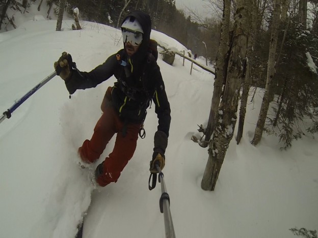
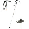
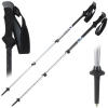
As per the main Pemi Loop TR, here is the ski beta companion post. If you are not interested in backcountry skiing, this is probably a good post to skip: it’s pretty dry and in essence just a bunch of maps and weird photos. At the risk of providing too much detail (not sure if that’s possible for this topic), each entry will follow this general format:
- Quick textual blurb about what we’re looking at.
- Photos – these are the main artifacts that we took away from the whole thing.
- Google Earth View – I’ve tried to highlight the regions of interest and panned to a view similar to that shown in the photo(s).
- Topo Map – Same highlighting; more informative for those actually trying to hike / skin / walk there with the aid of a map, compass, or GPS.
- Satellite Map – These actually give you a better idea of where the skiable part is.
- Additional Photos, etc…
The entries are sorted
roughly in the order in which we were able to photo these things. We took a counter-clockwise route around The Pemi and snagged shots of promising looking lines as we encountered them. This is simply the easiest way for me to catalog this stuff.I suppose I should probably provide
some sort of disclaimer here at this point… I have not actually skied most of the lines discussed below. In fact, I haven’t even seen many of them in winter. The idea here is simply to collect information so that we can have an idea of where to continue looking when the snow actually falls. Just because I think a given run looks sweet does not mean that it can be safely skied. When winter rolls around, the next challenge will be to give each of the highlighted runs significant individual consideration, and then
maybe ski them.Also worthy of note is the fact that
this post is probably going to take forever to load. By the time you are reading this paragraph, most of the maps have probably loaded, but if not give it some time, or try to refresh the page. If things totally are not working, just open these maps in Google Maps by following the little blue links. Also, for the love of God, do try to use a modern web browser…
And without further ado…
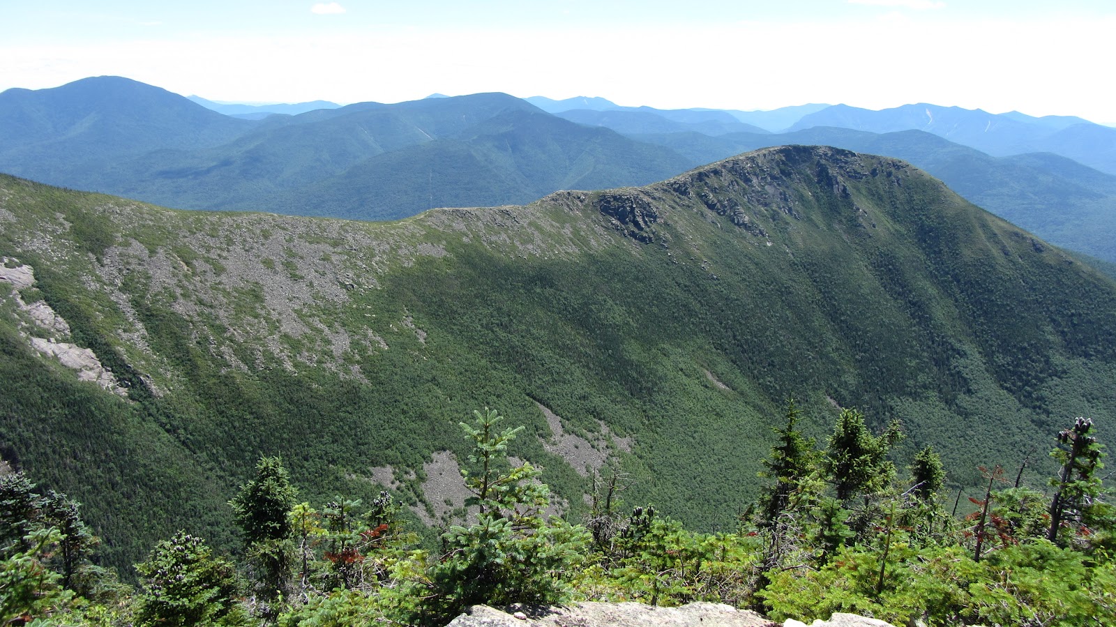
Guyot South Bowl
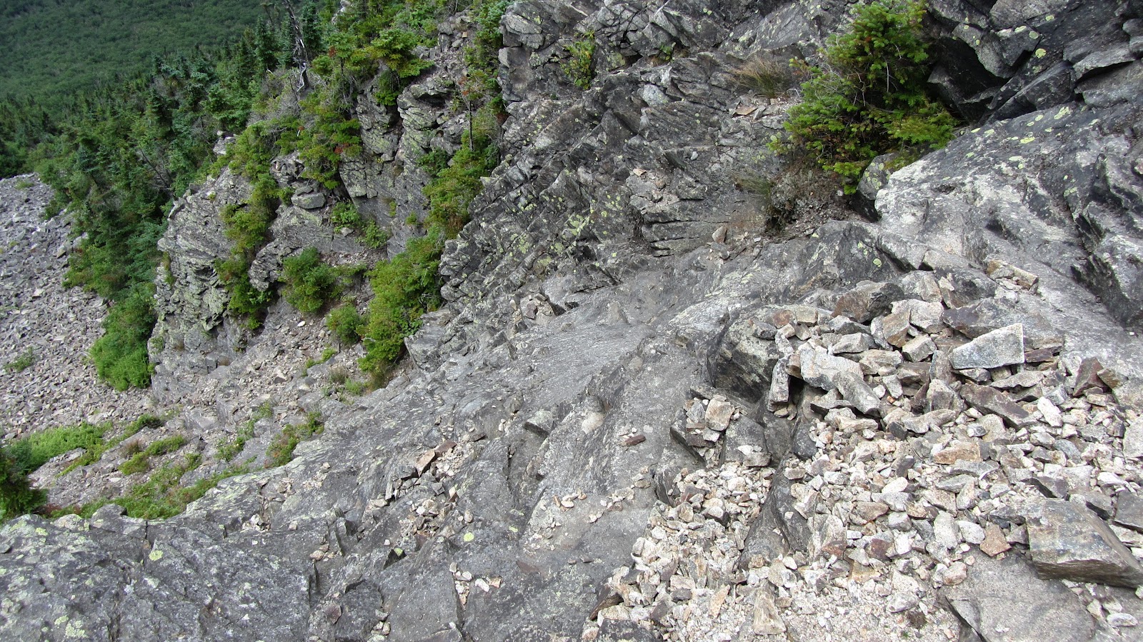
Guyot is exceptionally remote, even for The Pemi, but there are two large bowls both of which contain several slides. They are mostly quite long (~1000′ vert.) and upon closer inspection, they are quite smooth. There are few boulders or other obstructions meaning that it probably doesnt take super long for things to fill in.
View Pemi Loop in a larger map
View Pemi Loop in a larger map
View Pemi Loop in a larger map
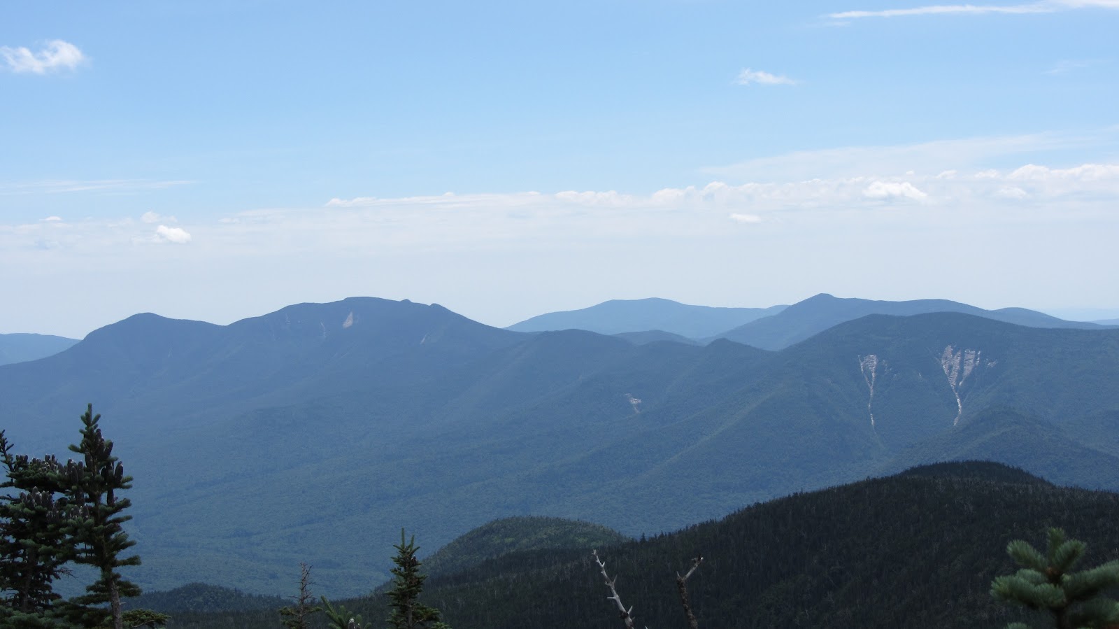
West Bond and Bondcliff
Bondcliff is tempting for obvious reasons, but it’s questionable at best. It’s extremely steep and all of the crazy terrain features would require a stupendous amount of snow to fill it in. It’s northwest facing, so it probably get’s blasted but upslope weather, but may well get scoured by the prevailing winds. I think the more promising looking runs are actually on West Bond.
View Pemi Loop in a larger map
View Pemi Loop in a larger map
View Pemi Loop in a larger map
Osceola and Scar Ridge Slides
These are actually not in The Pemi, their across the Kancamagus just east of Loon. I hear they slide left and right but if appropriate conditions could be found, they look like fun. These slides are roughly a mile from the highway and each of them drains out into the Hancock Branch of the Pemi River which runs parallel to the Kanc, so access is pretty straight forward.
View Pemi Loop in a larger map
View Pemi Loop in a larger map
View Pemi Loop in a larger map
Flume Slides
Of Flume Slide Trail infamy. This is one of those runs where people assume you’re totally out of your mind since the Flume Slide Trail basically goes straight up the mountain. As it turns out the Slide itself makes for relatively mellow skiing when compared to say the Lincoln Slides, according to my partner in crime, Rob. In fact, I think the Lincoln Slides are probably slightly easier to get to and offer greater variety, but if you’re looking for a mellow backcountry season warm up run, this might be it.
View Pemi Loop in a larger map
View Pemi Loop in a larger map
View Pemi Loop in a larger map
Haystack Slides
Two or three skiable-looking slides can be found between Haystack and Lincoln. We managed to snag a number of photos of this area, but the GPS on my camera was disabled when we took them and I’m now having a hard time identify which was which. (Rob, Shane, or anyone for that matter; feel free to weigh in on these…) In any event, here are the photos and their rough locations.
View Pemi Loop in a larger map
View Pemi Loop in a larger map
View Pemi Loop in a larger map
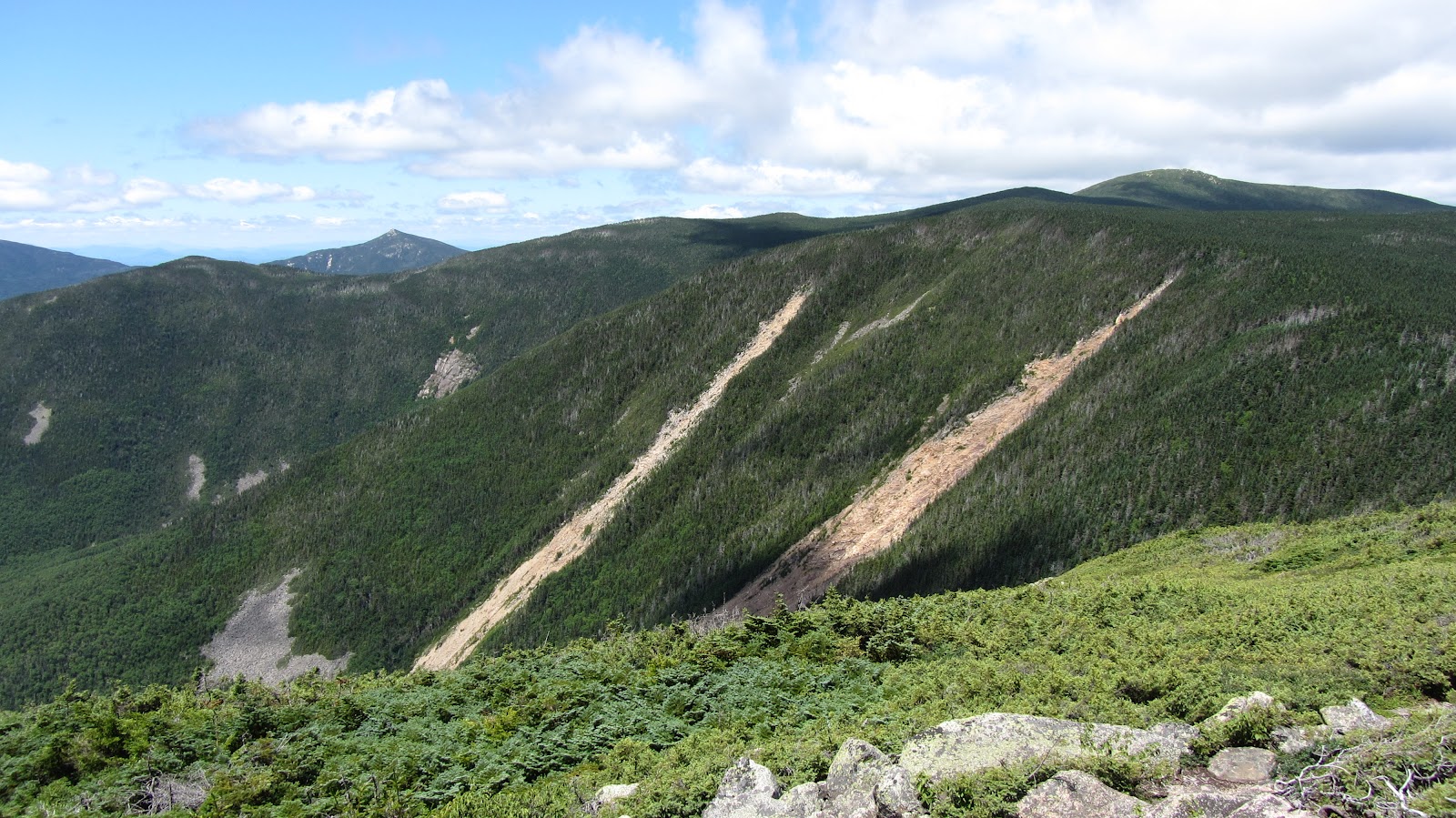
Lincoln Slides
To me, these appear to be the best skiing (good lines, ease of access, long runs) on the west slope of Franconia Ridge. Here’s a quick photo of the drainage containing Lincoln’s Throat and the other unnamed slides off Lincoln. These lines are covered in greater detail
here, and
here.
View Pemi Loop in a larger map
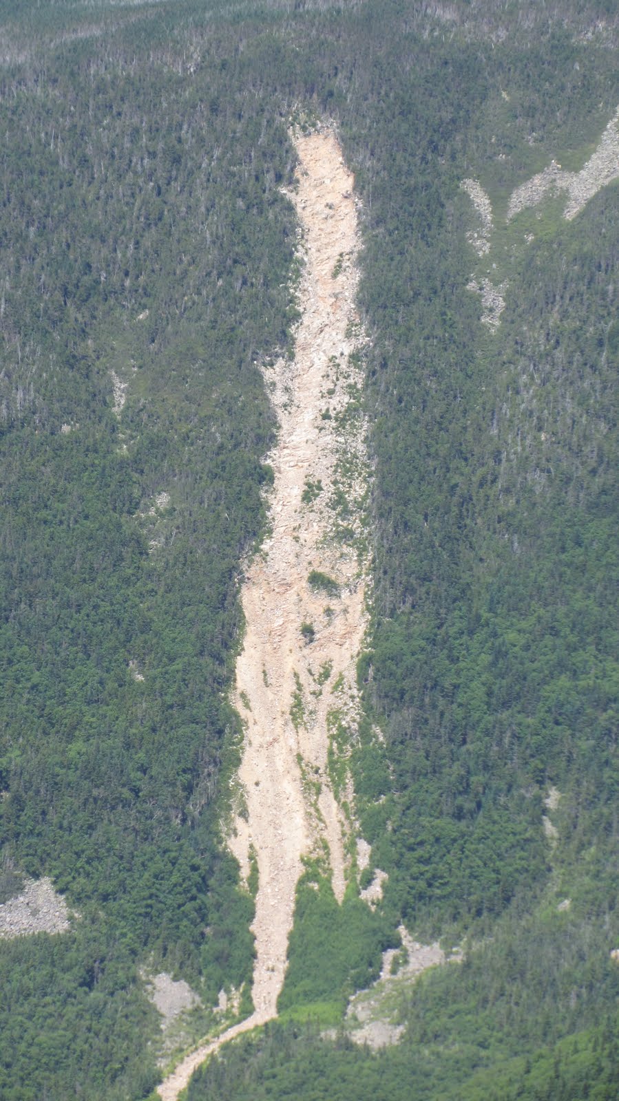
Bridle Path Slides
The shrewd observer will have noticed a few short but steep slides on the shoulder of Lafayette that leads down from the Greenleaf Hut back toward I93. They can be seen above in the mid-ground, in front of the distinctive cliffs on the west slope of Cannon. Or just look at this way better photo:
View Pemi Loop in a larger map
View Pemi Loop in a larger map
View Pemi Loop in a larger map
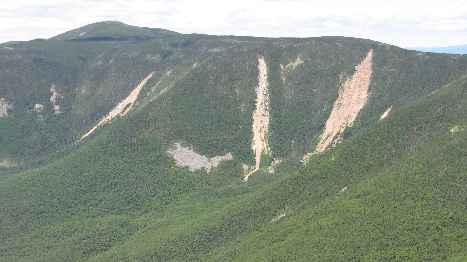
Lincoln Slides – East Slope
The east slope of Franconia ridge has several nice looking runs however, there’s no easy way of getting to them. The shortest route may be to climb the west side of Lincoln, and then simply ski down the west side. Of course then you need to get back. Additionally, conventional wisdom dictates that you climb the line you’re going to ski. The safer route involves a 5 or 6 mile slog through The Pemi over easy terrain, followed by some bushwhacking to get to the base of the slides. Yet another alternative, would be to follow Lincoln Brook, possibly skinning up it all the way to the bottom of the drainage. This is more direct than following the Franconia Brook Trail, but may not be faster due to the comparative slowness of bushwhacking on skis. The north aspect of these slides is wide and relatively mellow, however punctuated by lots of passenger car sized boulders, which should make for good fun on a powder day. The south aspect is considerably steeper and narrower – an exciting looking technical line. The photo we got is actually not a great perspective (I think the sun was starting to get to me…), so really rely on the maps to see what’s going on here.

View Pemi Loop in a larger map
View Pemi Loop in a larger map
View Pemi Loop in a larger map
Lafayette Slides
These look gnarly and could be accessed without any sort of bushwhacking at all, although the fastest route would almost certainly be to take the Old Bridle Path to the base of the drainage and just follow it up from there.
View Pemi Loop in a larger map
View Pemi Loop in a larger map
View Pemi Loop in a larger map