Tag Archives: Mt. Washington

Tucks and Lion’s Head Trails

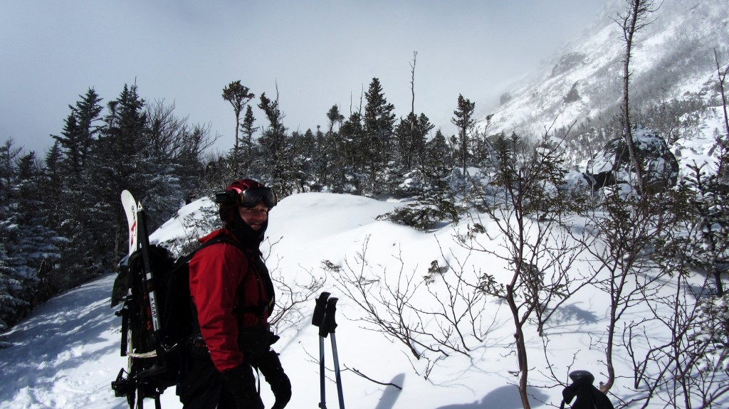
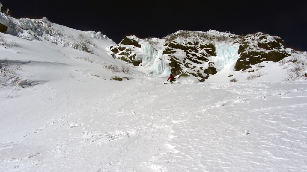
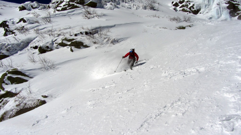
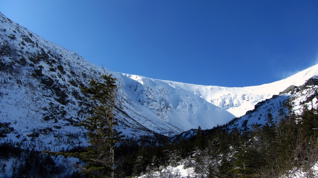
The objectives were two fold: peep some leaves and get in another more pre-season conditioning climb up a big mountain.  The weather was essentially horrendous, with visibility approaching nil at the summit and winds gusting in the 60s, to say nothing of the driving rain.  Despite the inclement weather I was rewarded with a few glimpses out of the Ravine and across the Notch.  These are the ones that made the cut:

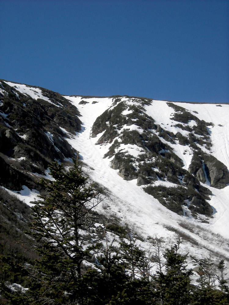
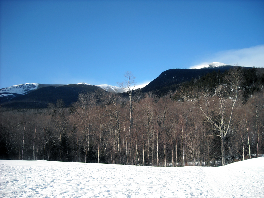
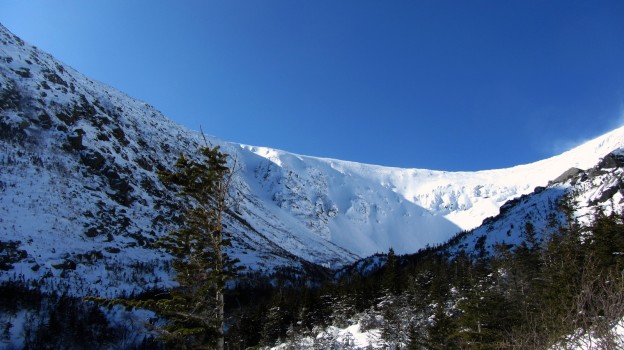
The bowl from Boot Spurr

(Not So) Solo Presidential Venture

This past weekend was great, and nothing went as planned.  It also stands as a testament to the unpredictable and extreme weather around Mt. Washington.

My original plan was to backpack two days, one night, and then ski Tucks today (Sunday).  I’d been itching to camp out, and a solo trip seemed like the way to go, since Sweeney and Rob were busy getting their backcountry powder fix in the Wallowas in Oregon.  From the get go I had to make some quick adjustments to my trip plan.  Originally I wanted to park near Glen Falls, and head up to Boot Spurr, and then hike along the southern part of the presidential ridge, hitting Monroe, Eisenhower, Pierce, and possibly Jackson, camping at elevation, but below treeline at Nauman.

But, when I got to Glen Falls parking area south of Pinkham Notch, the area was gated and all the signs were bagged.  It didn’t look too inviting so I re-routed my ascend to the Boot Spur trail.  Later I saw cars parked where the gate was, so I guess it wasn’t too big a deal.  At Pinkham I checked the weather, then threw all my gear, both winter clothing and overnight essentials into my big 70L Osprey Aether pack, and headed up the Ravine trail to the cutoff.

As I crossed the bottom of the Sherburne, it was completely bare and dry.  The Tucks trail was a mess of mud and rock at the bottom.  Were we really just skinning from the base only a month ago?  And skiing all the way down?  It looked like a different world.

As I got higher up on Boot Spur I began breaking through the remnants of snow and ice into the running water below, which I was not a fan of.  The wind was picking up, and looked like it trying to blow down the trees.  As I crested treeline I nearly got blow away.  The wind was fierce and it was very exposed.  I’d read that the summit was reporting gusts above 85 mph, but I did not expect to need to make a hasty retreat to the shelter of the trees.
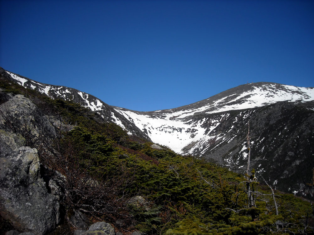
The bowl from Boot Spurr

I snapped a quick photo of the bowl as I got above treeline on Boot Spurr

I quickly realized there was no way in hell I was hiking ~5 miles completely exposed on the peaks.  I didn’t really want to give up and go back the way I’d come though, so I decided the brave the wind for about a mile while I headed up to connect with Boot Spurr Link trail, and descend into the Ravine.  I threw on my shell, gathered my wits, and made agonizingly slow progress against the wind, sometimes on all four or bracing against cairns.  The steep descent of Boot Spurr Link wasn’t too much fun–no one had broken trail and I was postholing the entire way down the Hermit Lake.

It was still early morning, but there were a bunch of skiers at Hojos, heading up to Hillmans and the bowl, so I decided to make a day of it, and enjoy the blue skies and warm weather (and lower wind speeds).  There was the usual assortment of spring skiers, including people duct taping their skis to their packs and almost falling down left gully.  I hiked around the bowl a bit and took my time before descending the Tucks trail.  I felt a little silly hanging out in the bowl with a big pack but no skis with me.
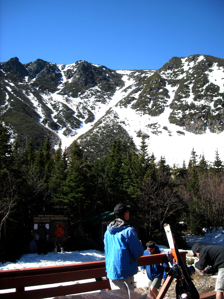
Hillmans Highway

Hillmans Highway from Hojos

Skiers heading up left gulley

Skiers heading up left gully, which had some soft bumps
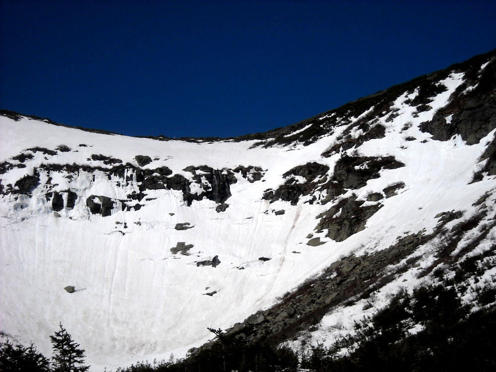
The rapidly deteriorating bowl

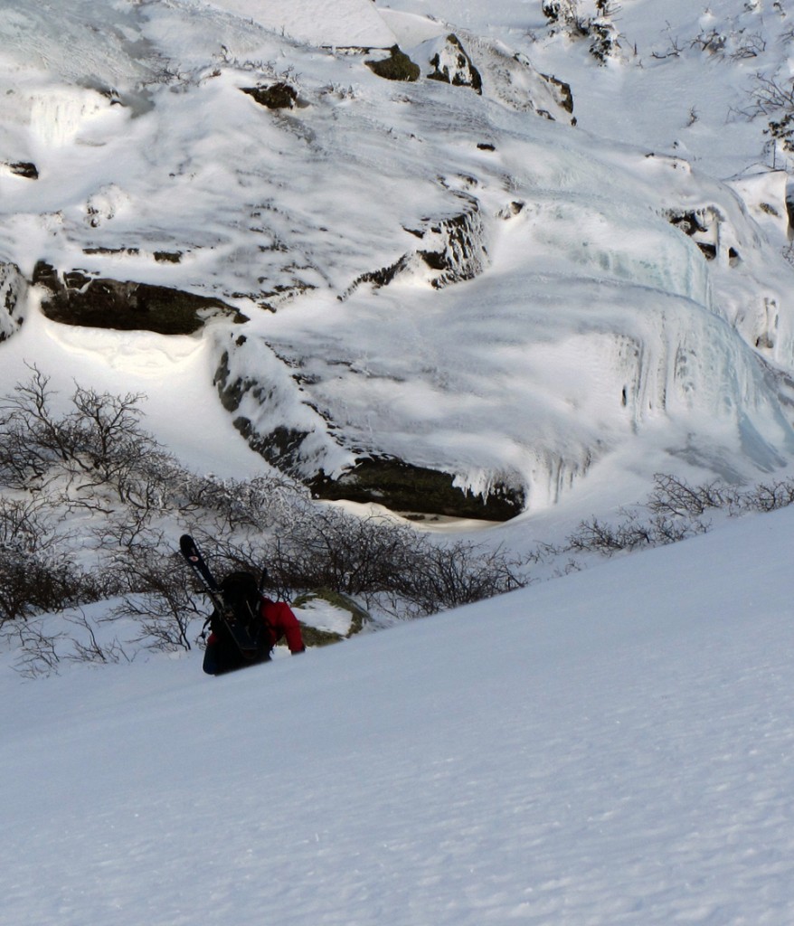
The rapidly deteriorating bowl, and waterfall hole

Afterwards, I camped out at Barnes Field and prepped for some skiing Saturday, since my backpacking plans had been comprised.  Due to some miscommunication between Alex and I, we didn’t meet up Saturday like we’d planned, and so Saturday morning I hung around Pinkham Notch until it looked like things were going to soften up, then made my way up to Hermit Lake on my own.  I made record time to Hojos, about 40 minutes I think, and chatted with a few people on the way up, including a guy who was planning to summit via Lion’s Head, since they just re-opened the summer route.

At Hermit Lake I talked with a ranger who speculated that the bowl still wouldn’t soften up   to prime corn for another hour or so, so I took my time and snapped a few photos for a group who were from the Johnson State College Outing Club.  When they found out I was on my own, they offered to let me join them.  They seemed like they knew what they were doing, so we departed together to ski Left Gully.  It turned out I’d been hiking up the Tucks trail with their friend earlier, and a few of them had been into back-country skiing and coming up to Tucks for a number of years.  It worked out great, they were super chill and it certainly made the day more fun than skiing on my own, and also gave me some peace of mind.

Though it was supposed to be cool and cloudy, the sun broke through, and I was sweating bullets in the heat as we ascended.  We hit Left Gully just as it got soft, and had a great first run.  I was feeling a bit slow on the ascent, I guess my jaunt Friday left me a bit tired.  For second run, we headed up Left Gully again just as some hiker narrowly avoid taking out the whole line after he lost his footing and slid down the entire run.  We topped out and headed towards Hillmans Highway across the rock fields, looking for a bit of variety.  I hadn’t skied Hillmans all season, so I was game to give it a try.  There was a choke point on the descent where you had to side-step down and the snow pack briefly got narrower than my skis, but the rest of the run was good spring conditions, though I doubt it will be worth skiing much longer.  The Sherburne was in rough shape.  You could kind of ski 30% of the way, as long as you didn’t mind skiing over rocks and grass and doing a bit of hiking in between.
On top of Left Gully

In the sun on top of Left Gully, you can see my skin beginning to take on a reddish hue.

The weekend ended up much different than I’d planned, mostly due to the rapidly changing weather.  Mt Washington is getting a bit of rain today, so it probably wouldn’t have been as much fun to ski anyway.  Thanks again to the friends I met at from outing club, especially Jess and Sam, it was a blast skiing with you guys!


Rob and I ascending the Chute

A Foggy Endeavor: Chuting the Bowl

Our game plan, once again, was heading to Mt. Washington.  Winter tricked us again this week, and left NE without much significant snowfall.

We’re quickly becoming regulars at Rob’s ski club where he, Sweeney, and I crashed Friday night.  We got an early start Saturday for the usual skin up to Hermit lake.  Avalanche risk was on the low-end of moderate, and after getting some details from one of the forecasters, we went to go scope out the bowl.

Even in the bowl it was a balmy 20 degrees, with little wind, and some serious fog with light snow.  We hiked up past the lunch rocks and headed for the Sluice, with Sweeney in the lead for the first run.  Sweeney quickly found an isolated pocket of thin cover that broke through to water runoff below, but we were able to safely skirt it.  Cresting the top of Sluice the cover thinned and left us in low brush.  It was time for me to do a test run of my new (used) Garmont AT boots.  After a slow transition, we descended through the fog.  The snowpack was firm and a bit chattery on the steeps, but overall pretty decent.

Sweeney’s camera is to thank for the shots, and he kindly played the main photographer role.  The fog made for very low lighting.

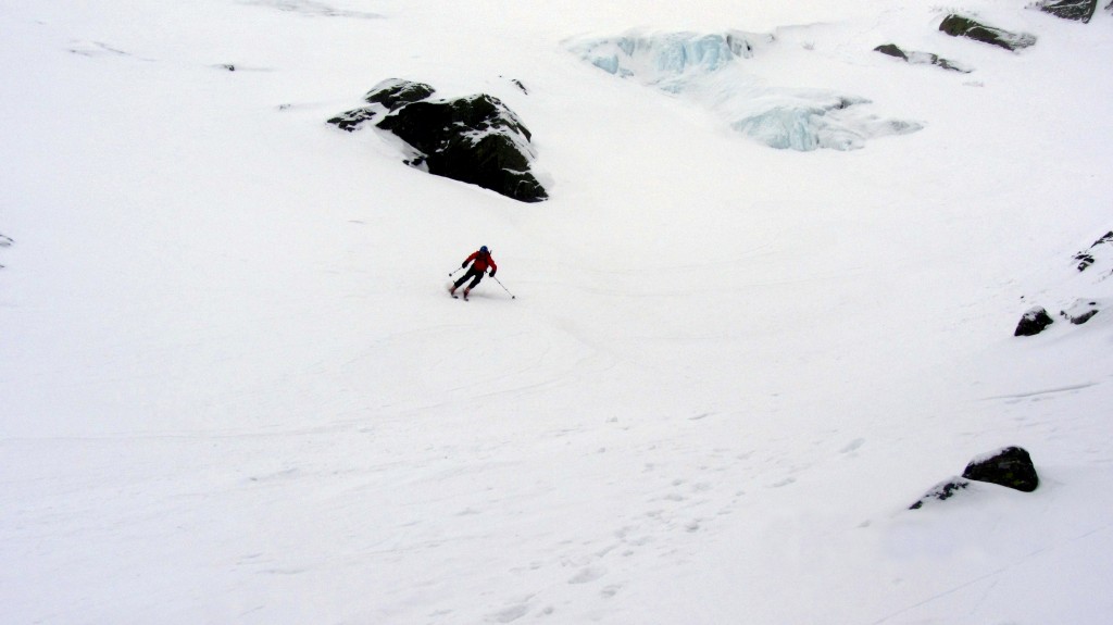
Rob on edge passing the lunch rocks

Rob on edge passing the lunch rocks


Rob, again.

Rob, again.


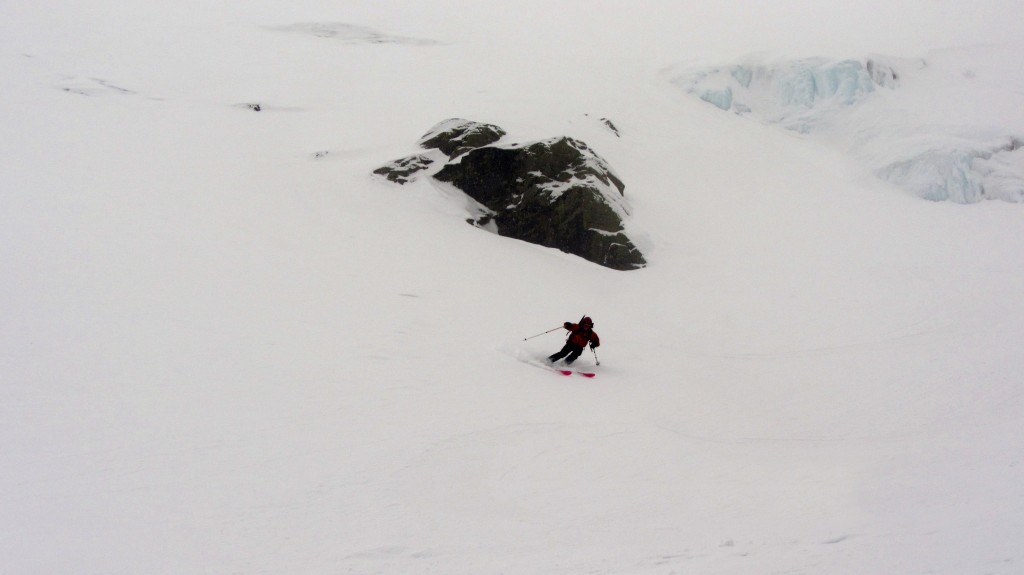
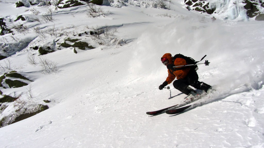
Me, past the base of the Sluice

Me, past the base of the Sluice


Me, part 2.

Me, part 2.

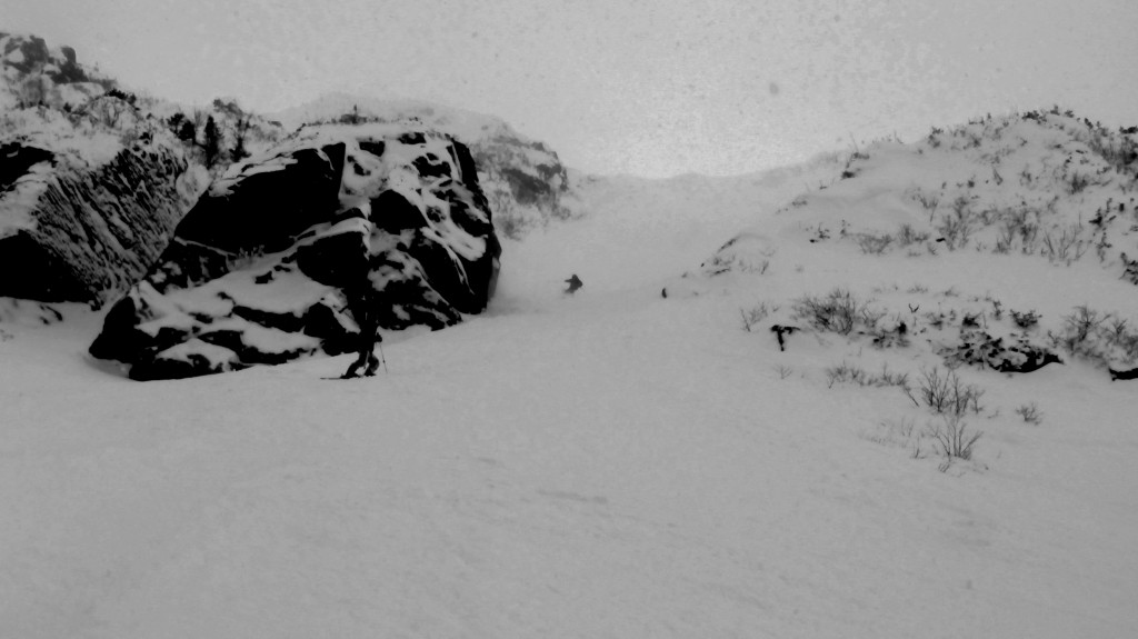
By the time we were down to the base of the bowl we were already considering what to hit next.  The visibility was coming and going, but the Chute looked good.  It held firm, heavy snow all the way up, that made us feel more comfortable with the stability.

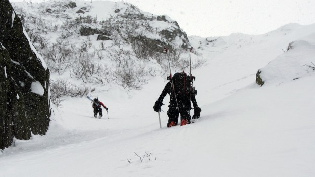
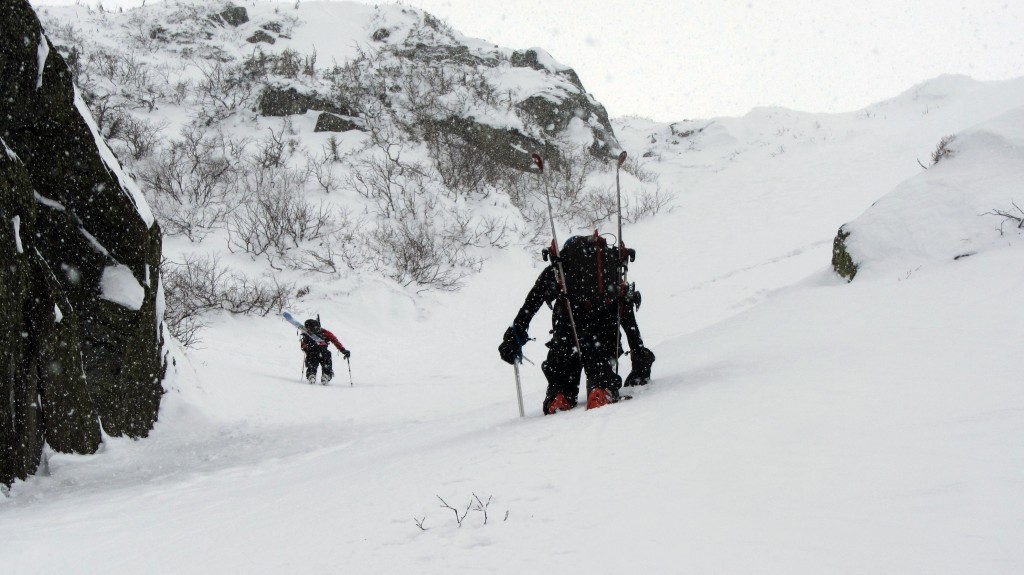
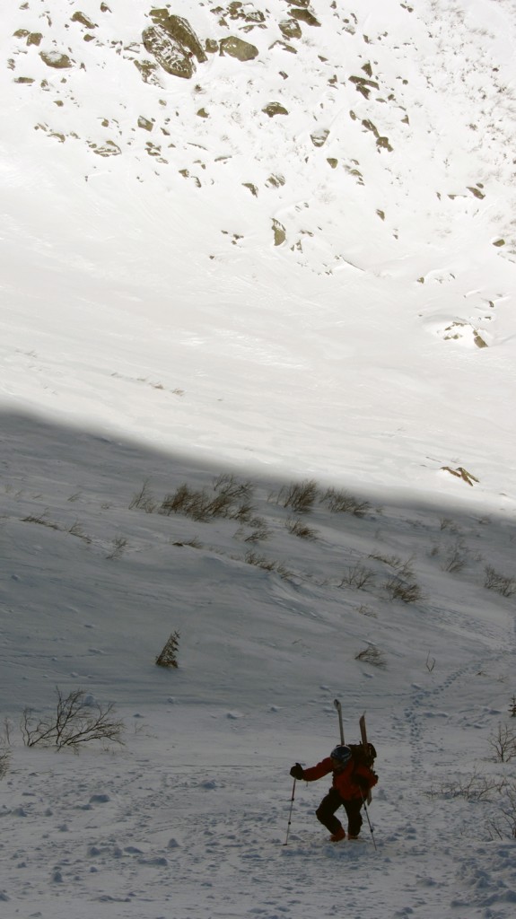
Rob and I ascending the Chute

Rob and I ascending the Chute

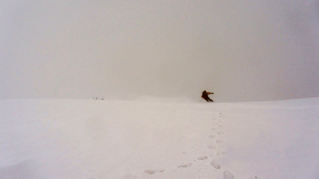
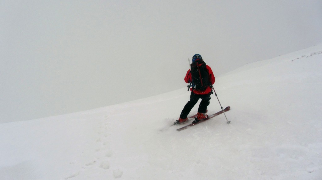
Our descent was pretty socked in.  At one point I thought I saw Rob not far ahead of me, and called out, not realizing I was trying to talk to a rock less than 20 yards away.  When we reconvened, Rob remarked he thought the pitch was steeper than usual.  I found it difficult to gauge in the pea soup fog, but it had felt steep.

Rob charging over the lip.

Rob charging over the lip.


Me, getting ready to drop in.

Me, getting ready to drop in.

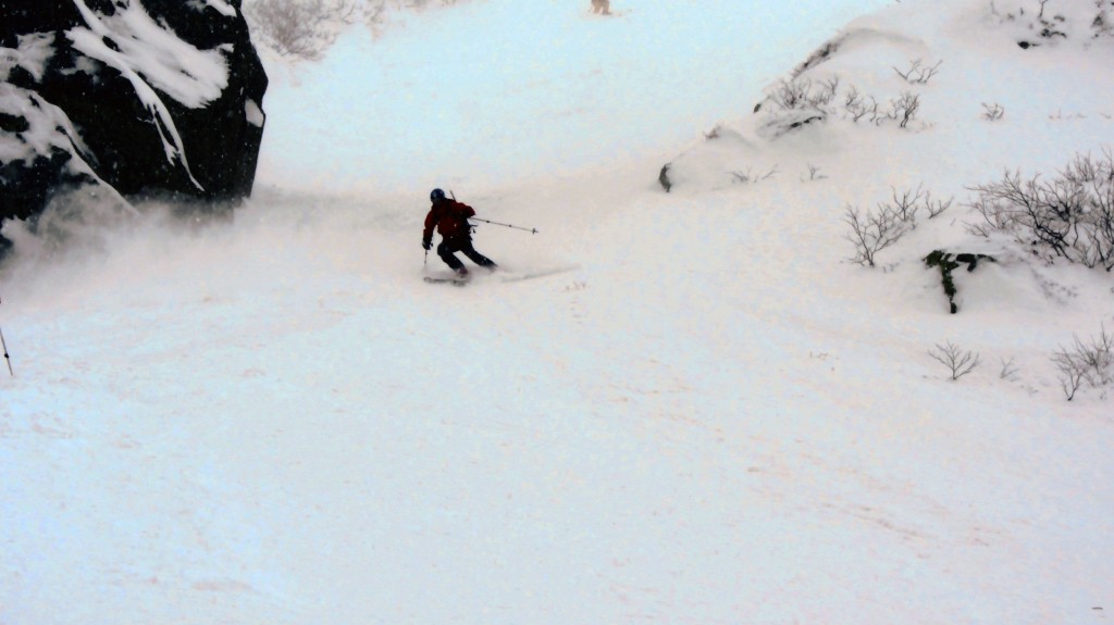
The snow was good, and it was early, so we headed back up the Chute for a third run, a record number for me in the bowl.  At this point the snow had switched to medium dendrite flakes, and was definitely collecting on the slope.  The wind joined in by buffeting us as we crested the lip of the bowl.  By our third lap I was finally getting used to my ski boots, and was able to play around a bit more towards the bottom.

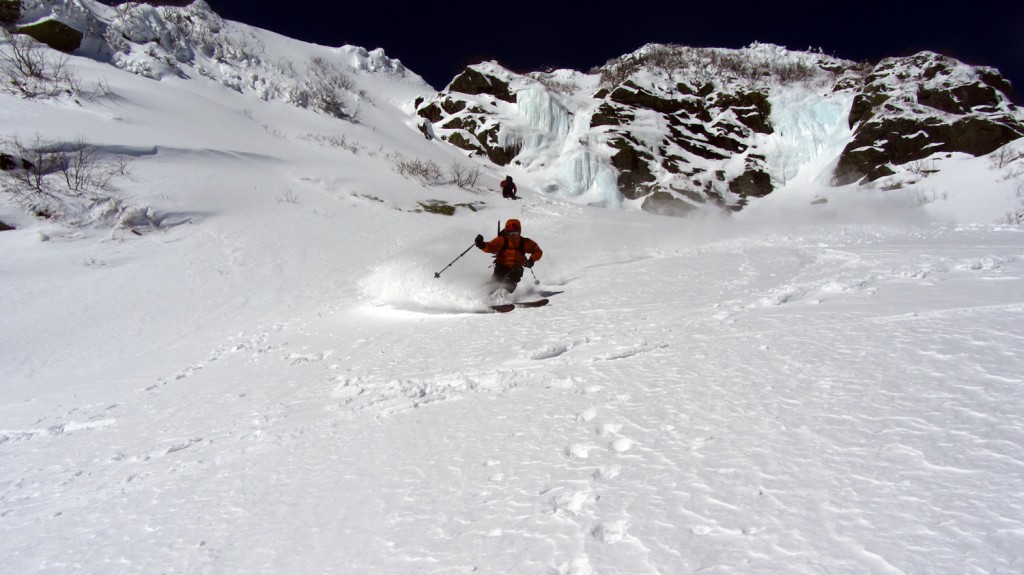
Rob emerging from the Chute

Rob emerging from the Chute


Rob, on the right.

Rob, on the right.

Me just past the narrows

Me just past the narrows

Back in the bowl, we decided to call it a day, partially given the increasing weather, though we had time for another go.  Back in Pinkham we were informed that the Chute had been measured as Steep as 62-65 degrees in spots, in other words, pretty friggin steep, and hands down the steepest I’ve ever skied.

Gulf Of Slides

Sunday was a different story.  The forecast called for -15 degree temps on the summit with  65 mph winds, and the actual weather was even more severe.  Given this, Rob and Sweeney were still considering heading into Huntington Ravine to check it out, with a friend of Robs.  But they had Hotronics, while I have a history of frostbite, so I made other plans.

My main goal for the day was to stay warm and below treeline, so I skinned by myself up the Gulf of Slides ski trail.

I was aiming for the gulf in the middle.

I was aiming for the gulf in the middle. You can see the wind blowing snow around up top.

Trail head just past the Sherbe

Trail head just past the Sherbe

The skinning was tricky even though cover was decent, because of icy slopes on steeper sections.  At the entrance to the Gulf I scoped around what I presumed was the old slide path that tore through a swath of mature trees.  I quickly decided it was bitter cold and blustery, and headed down.

I think the Gulf is supposed to be up there.

I think the Gulf is supposed to be up there.


Looking downwards

Looking downwards, not much of a view.

Disappointed with the skiing, I packed up and took advantage of a half day ticket at Wildcat while I waited for my friends to return.  It turns out they encountered similar conditions and turned around at the base of Huntington, which was completely whited-out.

Its been fun up on Mt. Washington recently, but I really hope a POW day is in store for us soon.  I sure could use some more tree skiing.

Back to Back Tucks Expeditions

We’d been away from Mt. Washington for over three weeks, and it was past time to give it another go.  The weekends prior had mostly considerable avalanche risk in the bowl of Tuckerman Ravine based on the advisories from the avalanche center, but things seemed to be settling down.  Rob, Sweeney and I met up in North Conway on Friday night, and made some final gear preparations.

Saturday

We made our way to Pinkham Notch Saturday morning to join up with our other compatriot, Alex.  Little did we know, the annual Ice Fest  was this weekend and we ran into swarms of climbers also making their way up the mountain.

We started skinning up the Ravine trail, with the intention of heading to the East Snowfields, since we figured we had the best chance of getting some turns in there.  When we turned onto the Lion’s Head winter route however, we heard that it was slow going on the trail because of the heavy foot traffic.  The group decided to change plans and scope out the bowl to see if anything was skiable.

Rob, as we approach the bowl. We used Sweeney's camera for all the photos, but it changed hands often.

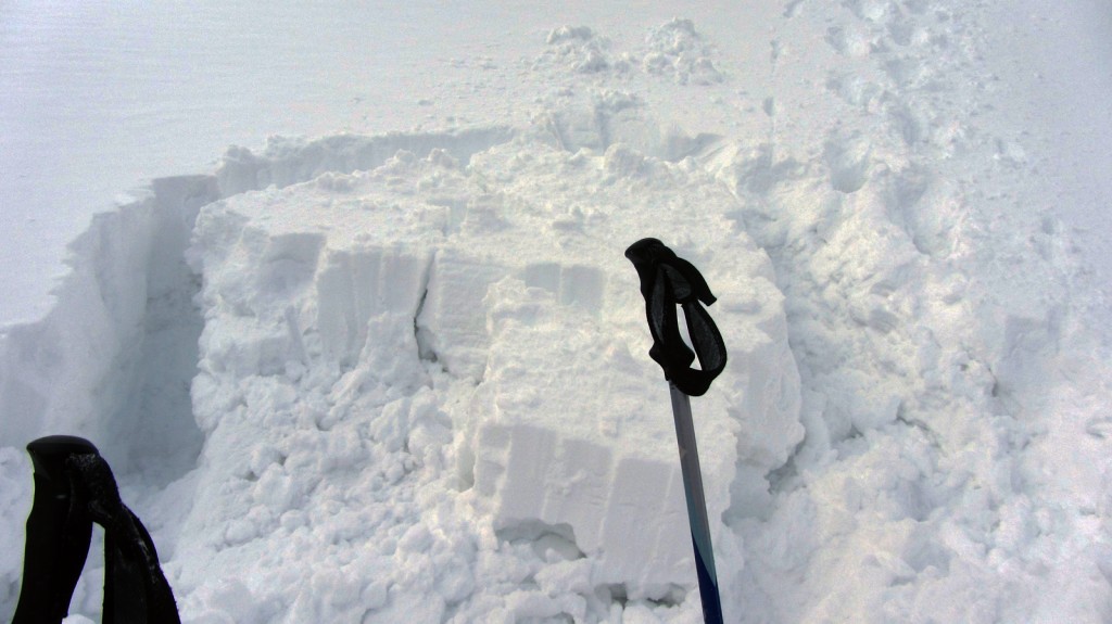
When we got into the bowl the wind picked up.  It was likely in the teens in the bowl with 35-45 mph winds.  Most of the bowl had Moderate avalanche danger due to windloading.  We veered off towards Lobster Claw once we reached the bowl, assessing the conditions as we went.  The snowpack was variable with ~6+ inches in lee areas on top of a breakable rain crust.  In one or two spots we post-holed almost up to our waists.  As we approached steeper terrain to the right of Right Gully, we stopped.  Rob, Sweeney and I spread out and dug snowpits.  Even though my knowledge is rudimentary at this point, it didn’t look great.  There were many layers shearing cleanly away from each other even as we were cutting the snow to do tests. Sweeney and Rob came to a similar conclusion: if conditions didn’t improve, we’d likely have to turn around.

The remnants of Sweeney's snow pit

Alex leading the way up lower Lobster Claw

We ascended a little further up to a rock wall which the wind was whipping around.  At this point the wind was blowing in snow very quickly, and some of our earlier tracks were starting to fill in.  We stopped here and transitioned to get ready to ski.  Sweeney went first  and was rewarded with a few good turns of some deep, dense powder, before cutting right through some brush.  I followed suit, with Alex and Rob not far behind.

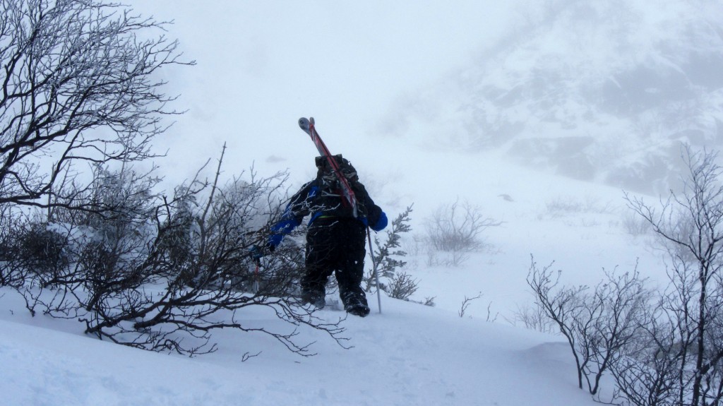
The group then headed in search of what was supposed to be a route down to the Sherburne, but ended abruptly in extremely dense brush and low woods.  What followed was a few hundred yards of the densest bushwacking I’ve ever done, wallowing in waist deep snow at points, while maneuvering skis around branches.  At one point we had enough room to link up some turns near the Cutler river, but then the skis came back off.  An hour later we emerged on the hiking trail near Hermit Lake, where we chatted with one of the avalanche forecasters for a bit about the conditions.

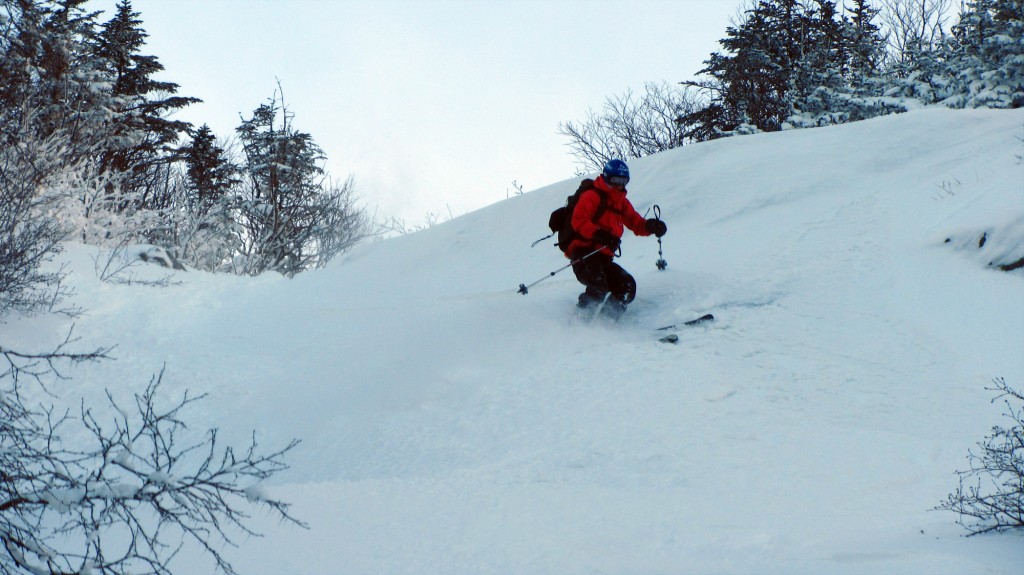
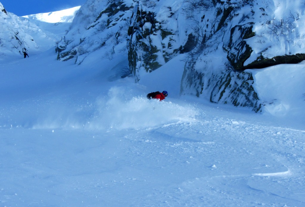
We got the skis on for a few turns. Here's me enjoying a bit of pow.

Eventually we all skied down the Sherburne back to the car.  The trail was filled in, but firm, and icy in patches.  We’d managed a few sweet turns, but overall the consensus was we’d made the right call, even though we got skunked.

Sunday

Sunday was proof that you never know what the mountain is going to give you.  We got an earlier start and skinned straight for Hermit Lake.  We were greeted by the advisory indicating Low danger on most aspects of the Ravine.  The Sunday Advisory said that strong overnight winds moved most of the new snow we’d been in yesterday out of the steeper sections of the Ravine.

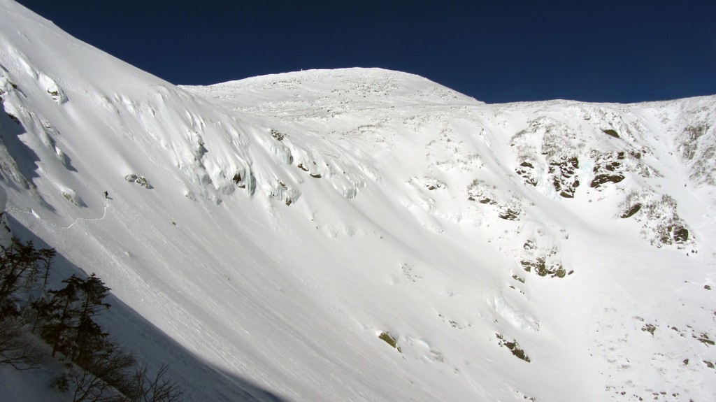
Looking across the bowl to the summit.

Looking across the bowl to the summit.

We decided to head up Left Gully since we had the best bet of finding stable conditions all the way up.  It was a beautiful, crisp winter day, with a completely clear sky.  What else can you ask for?

Rob breaking trail up Left Gully

Me following Sweeney up after we spread out.

Left Gully was firm all the way to the top of the Ravine, with a just a bit of softer snow to edge on.  We all had a great first run, Rob even found some pow he kindly pointed out to me near the runout of the Gully.

Rob getting ready to rip

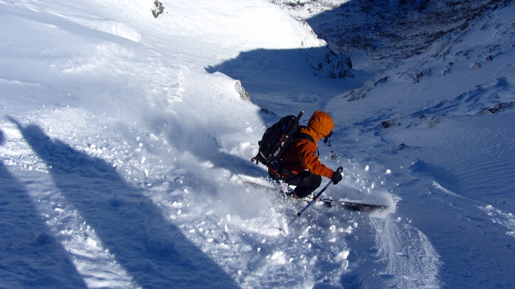
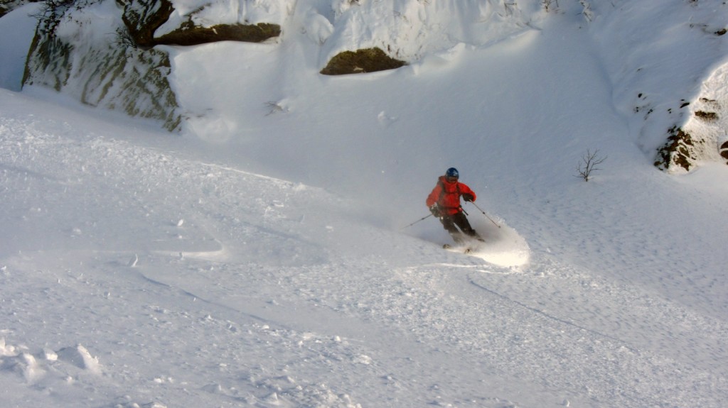
Me, following Robs tracks into some dense powder

I'm thankful the mountain saw fit to reward us for coming back.

At this point, there were other skiers in the bowl already enjoying some turns part way up the Sluice, so we traversed over there for a short second run.  We were rewarded with some soft creamy snow to toss around.  It’s amazing the difference a day can make in the bowl.

Rob, heading down the bottom of Sluice


Laying it over in the soft snow.

Sweeney makes his move


...and tears it up

Time to head home.