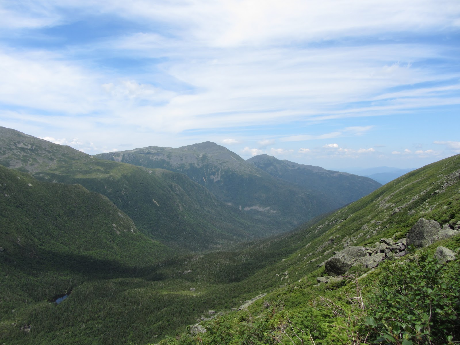
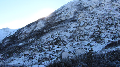
Tuckerman Ravine. Left Gully is far left, the Chute is next to it on the right.
Decidedly fed up with the snow conditions in the East, Rob, Sweeney and I headed to Pinkham Notch on New Years Day to see if there was anything skiable in Tucks. I’d spent the previous two days skiing, first at Cannon and then we’d been at Mad River Glen, where there was probably more moss and rocks than snow on some of the trails.
We did some beacon practice at MRG, since I’d never used one before. It took a bit of getting used to, but I feel a lot more confident if I ever had to do a single burial search–though I still feel like I’m just starting to get the hang of it.
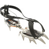
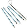
Instead of partying hard, we crashed early in North Conway to get a reasonable start. We’d heard there may be some skiable lines, but with the variable weather, we weren’t sure what we’d find. I’d recently acquired the necessary mountaineering, and avalanche safety gear, so either way, this would be a good chance get used to it.
Sweeney lent me an old pair of his climbing skins–that we never got to use. The trail coverage was bad because of the recent rain. Sweeney and Rob hiked up to Hojos in their AT boots. Since I only have race boots (far more uncomfortable for hiking in), I put on my Brooks Trailrunners, and threw on MICROspikes over them, which proved to be a winning combination for the blue ice we encountered on the way up.
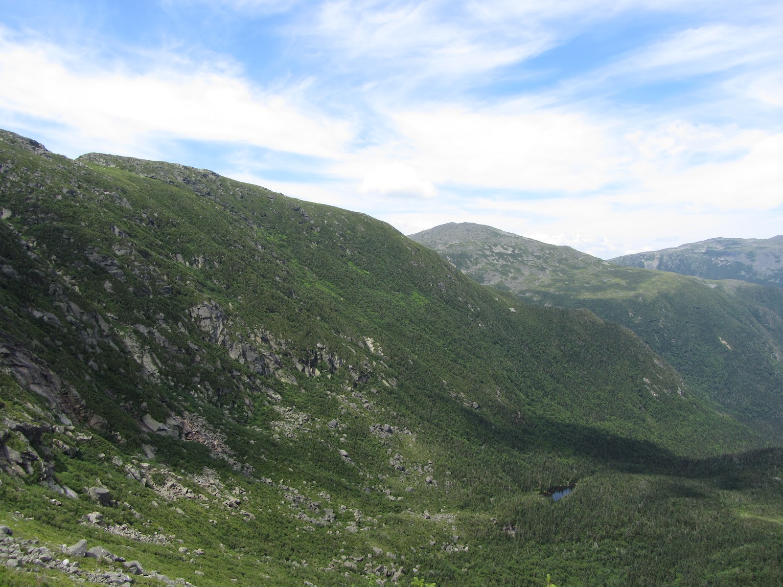
The bowl looked pretty gnarly, but Left Gully and the Chute were a bit filled in, so we made our way over. Sweeney was behind the camera that day, so all photos are courtesy him. His TR is here along with a goPro video of the expedition up through his first run.

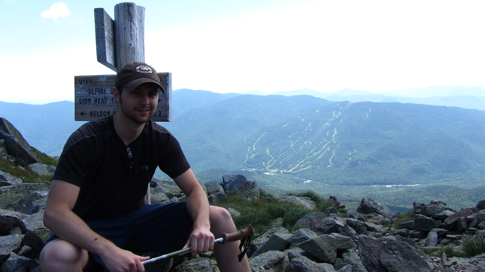
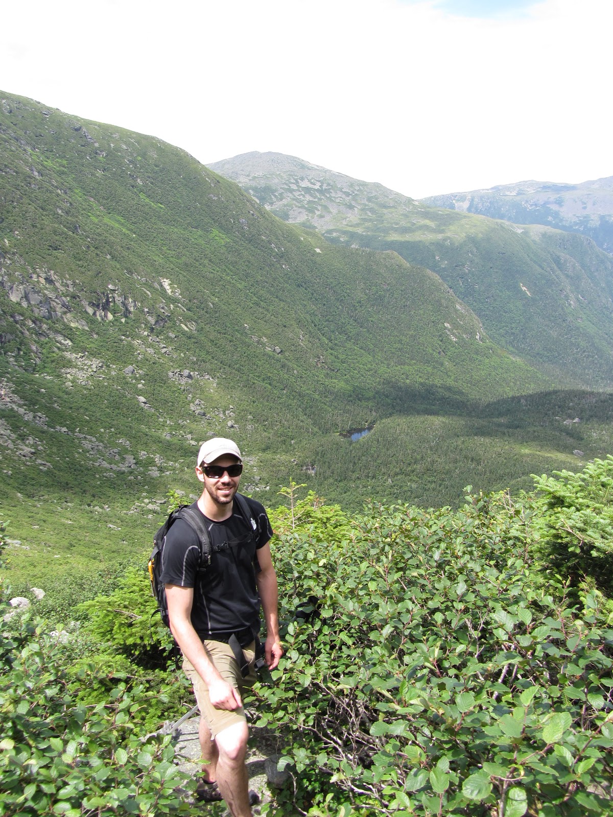
Rob and I.
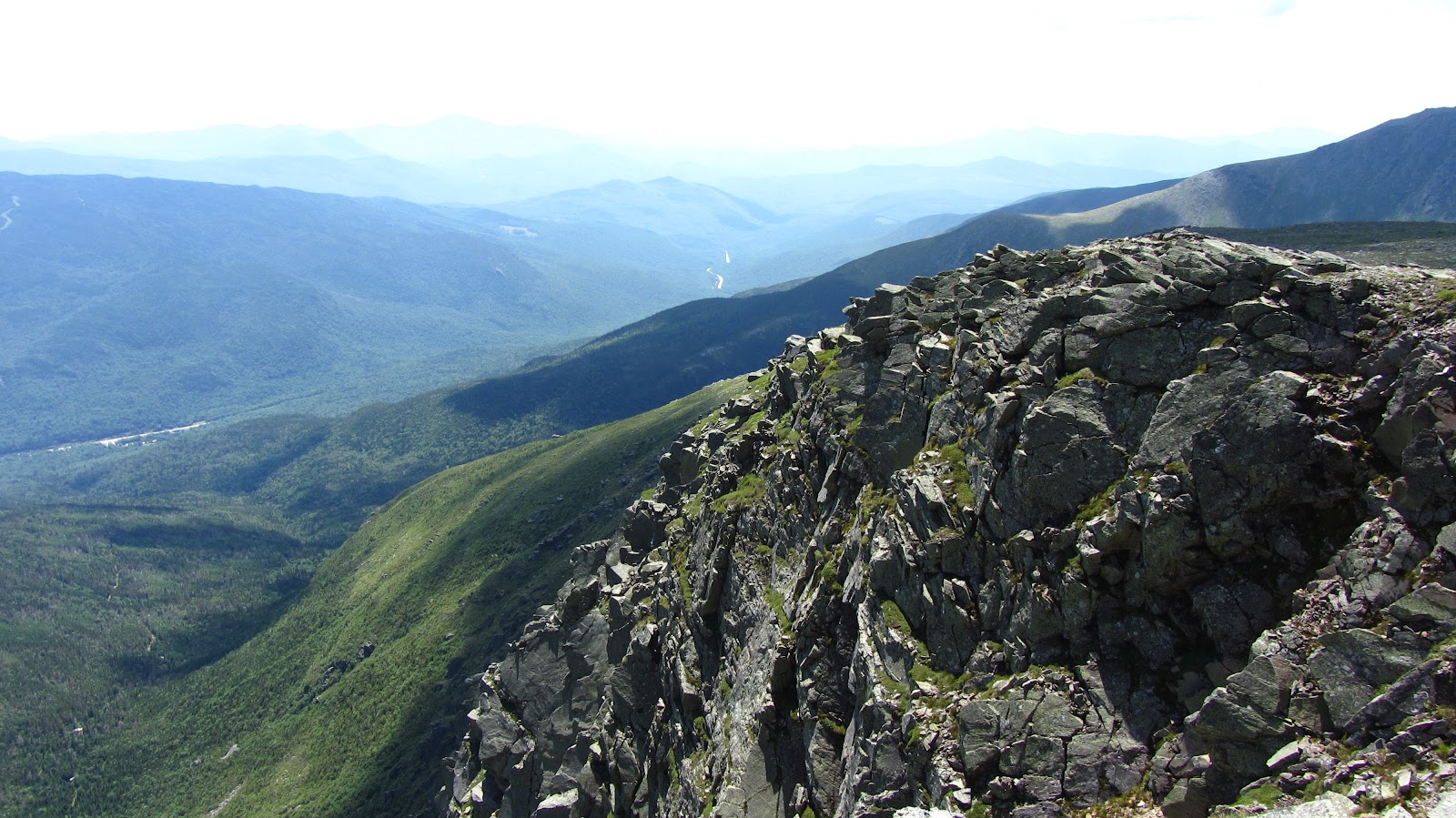
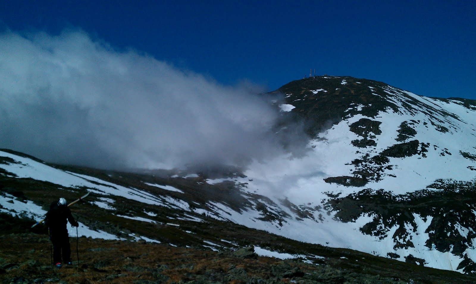
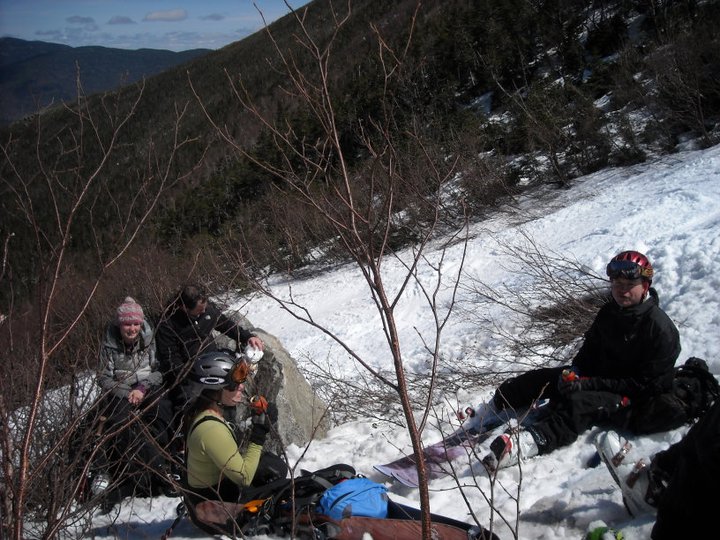
Some cool scenery.

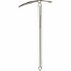
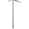
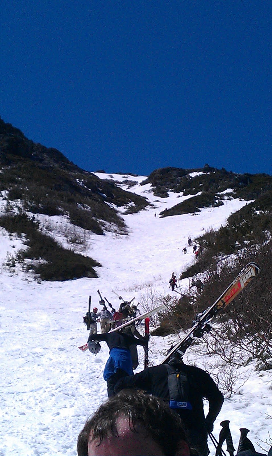
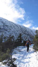
Ice Axes out, on the ascent.
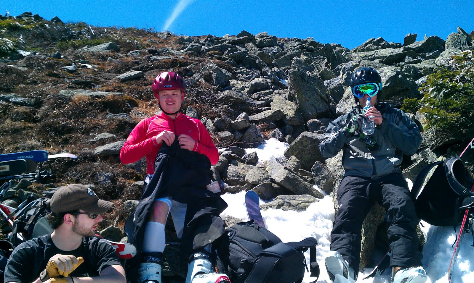
Rob and Sweeney, being more experience than me, stopped several times to evaluate the snow conditions. They didn’t find anything very worrying so we continued up.


Me, contemplating my line.
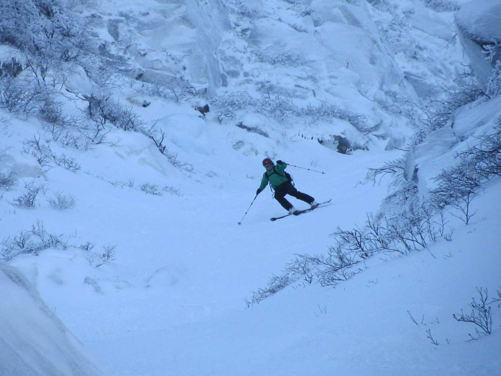
Left Gulley was a little firm, though Rob said Sweeney and I softened it up a bit for him–after he kindly ‘let’ us go first. Unfortunately, Sweeney only got photos of me standing on my edges, which I did a lot of the first run, due to the narrow trail we had to work with, and the ice crust on skiers left.
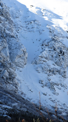
The Chute, our short second run.

Rob, laying it over on the Chute.
The Chute, although short, was MUCH better. The steeps at the top had a bit of an ice crust, but the middle, where it narrows down by the rocks, was a blast.

Heading out of the bowl.
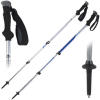
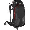
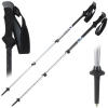
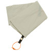
You may have noticed in the photos that my gear was strewn everywhere, and that I carried race poles up. Bringing race poles was a mistake on my part–I’d left my 3 section trekking poles at home. However, I didn’t really have a winter pack either, I was using my old, trusty North Face Borealis, which clocks in somewhere around 23 L, and certainly isn’t meant for tossing almost 40 lbs of gear on. It did the job, but the pack looked and felt like it was about to burst–my skis were barely hanging on and there was nowhere to put things. Luckily I’ve now resolved this problem. Knowing the features my old pack lacked for winter use, I went and bought the REI Double Diamond pack, which so far looks pretty sweet.
We skied down through the bushes as far as we could, then we packed up and reconvened briefly at Hermit Lake. Sweeney and Rob attempted to ski the Sherburne as far as possible. I didn’t like the prospect of hiking any more in my ski boots, so I put my shoes back on and hiked down, ending up in Pinkham just behind them.
Overall it was a stellar day, and probably the best skiing to be had in the East on Sunday.
Certainly a memorable weekend.