Not yet even unpacked from Colorado, my friend Zac and I hit the road destined for SoCal. Our mutual friend LBK and his fiancée Emily, invited us out to visit their new home in San Diego. We happily flew out to LA where LBK picked us up drove us down the coast, but not without swinging by an In ‘n’ Out Burger for a post flight meal (and cultural introduction to the West Coast).
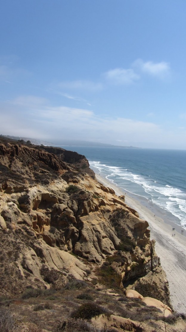
The fact that this part of the world experience pleasant weather virtually every day of the year makes it ideal for outdoors pursuits. We took full advantage of these good conditions. For our first full day in the area we toured the metro area and saw some of the mandatory sights. On day two, we packed up the car and headed inland to Anza Borrego Desert State Park. I always welcome an excuse to do some hiking, but I was especially excited for this one for a few reasons. For starters, I don’t get the chance to do much hiking with my comp sci buddies. Next, the desert is a climate which I’ve never really experienced before. Finally, we had selected a region known to be inhabited by mountain goats! Hopefully we’d get to see a few.
LBK graciously handled the driving responsibilities on this trip, allowing Zac and I to fully digest the foreign landscape during the ride out there. It took us 2 or three hours to travel from San Diego to Borrego Springs, but the drive itself is nothing short of spectacular. Most of it runs through the arid hills of SoCal, but it culminates in a excellent mountain pass. It ranks up there with New Hampshire’s Rt. 302, and the Kancamagus Highway, and Colorado’s Loveland Pass. The road slowly winds up the foothills toward the mountains at such a rate that you hardly even realize that you’re approaching the mountains. After a certain point, it becomes clear that you’ve entered the mountain pass: the road becomes slower and switches it’s way up the remaining elevation before turning down and into the valley. You careen, for miles, down the narrow road, collecting excellent views of the expansive valley the entire way, until you arrive at the valley floor, which is nearly completely flat.
View Borego Springs: Palm Canyon in a larger map
Upon arriving at the valley floor, we grabbed some extra snacks, briefly consulted the staff at the visitor center, and then set out toward Palm Canyon. The hike from the parking area to the end of Palm Canyon was short, at just over 2 miles, however it was the perfect intro to desert hiking. The air temp was in the 70s at least, and we were in partial sun, but with the ultra-low humidity you can just about avoid breaking a sweat by maintaining a comfortable pace.
View Borego Springs: Palm Canyon in a larger map
Palm Canyon is unique because, as you might imagine, it culminates in a lush palm oasis. A spring seems to feed the vegetation, and in stark contrast to the arid landscape and thorny plants of the desert, a copse of dense and healthy looking palm trees stands in the shelter of the mountains.
 |
Palm trees in their natural habitat.
Photo Credit: Zac |
We opted to take an ‘alternative’ route, at the suggestion of the visitor center staff. This turned out to be the right decision. The alternate route adds a bit of mileage in exchange for a less trodden and more interesting walk through the desert. In fact, we ran into only several people along the alternate route, apparently avoiding the dozens who take the direct route to the oasis. The area is admittedly crowded, but well worth a visit. Once we arrived at the oasis, we scouted around for a quite spot to rest, cracked a few beers on a convenient rock and took in the view for a while.
 |
| LBK surveys the oasis. |
 |
| Zac heading back toward the valley. |
 |
Me on a rock.
Photo Credit: Zac |
 |
The desert sky.
Photo Credit: Zac |
 |
Sun’s on it way down.
Tusken Raiders should be on the move…
Photo Credit: Zac |
 |
Zac actually has all the good photos from this trip…
Photo Credit: OK, you get the point… |
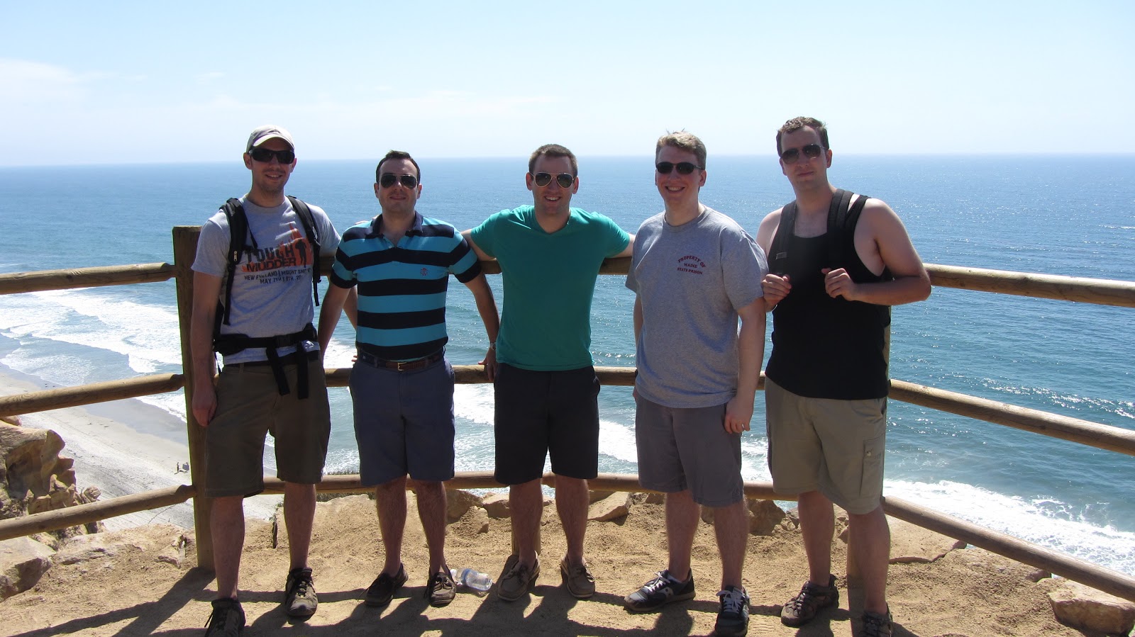
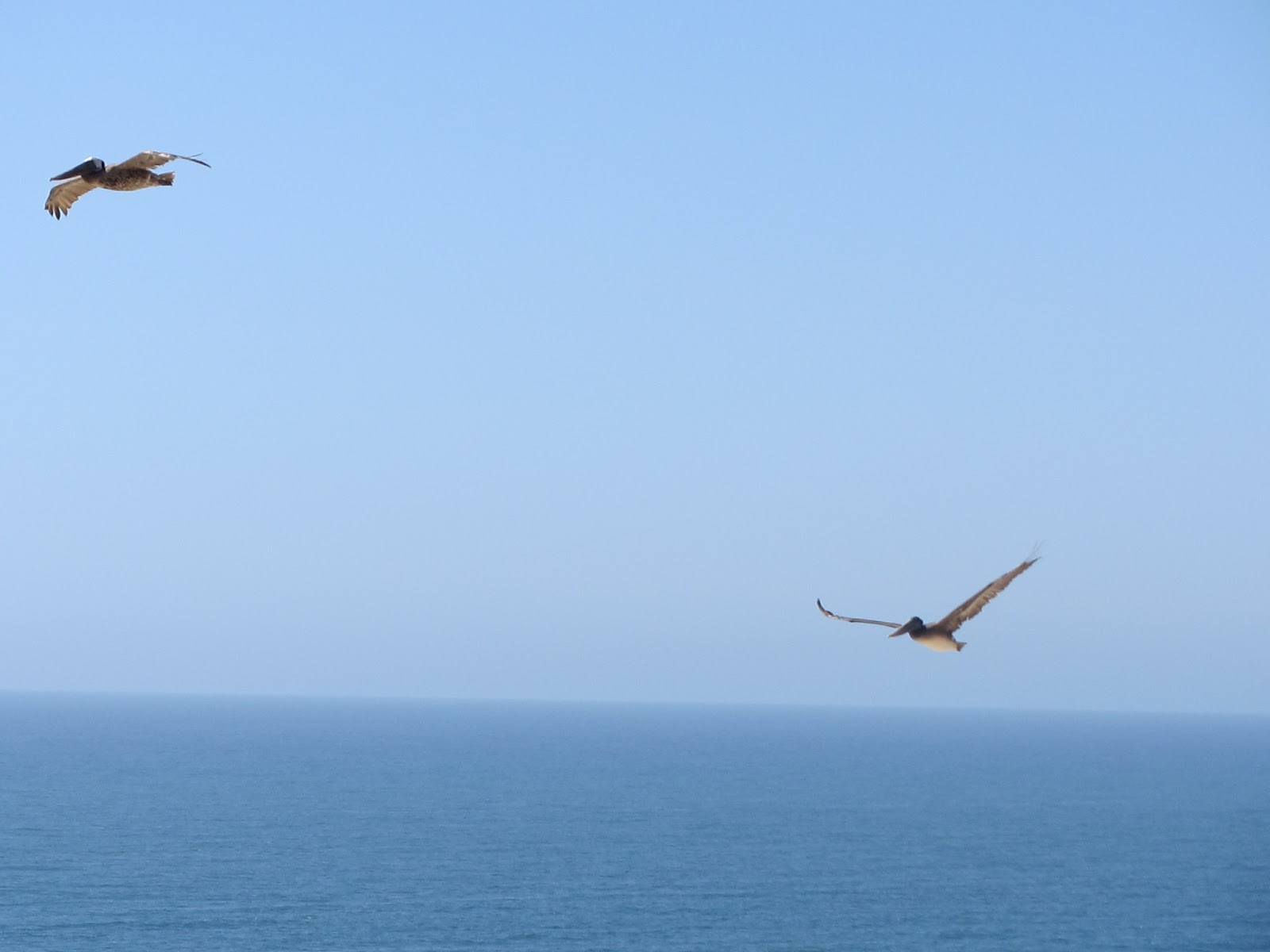
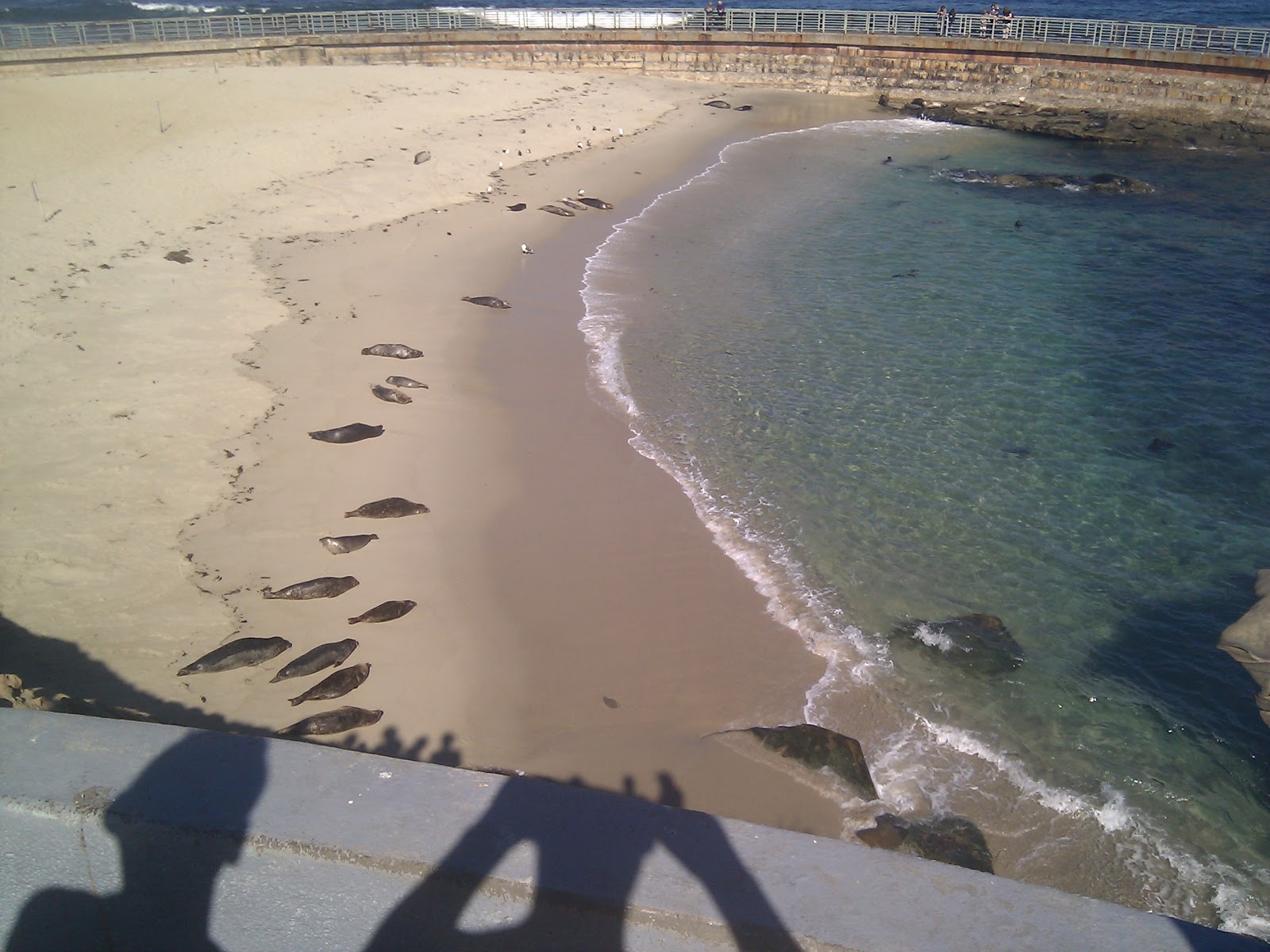
We decided that the desert is a pretty cool place. But, that wasn’t the end of our adventures. Day four was divided between La Jolla and LA. La Jolla really is a remarkable place. To me, what stands out about it is the way that the whole area is expertly landscaped to reflect the natural beauty of the area. A great deal of work has been put into carving pleasant neighborhoods and urban areas out of the rugged California landscape using native flora in a way the emphasizes the natural beauty.
 |
| La Jolla Cove. |
 |
| Seals on the Children’s Beach. |
 |
| Palms with Dr. Seuss trees in the foreground. |
 |
| A seal in search of it’s pals… |
 |
| More of the cove… |
I could get carried away with all of the photos we took…
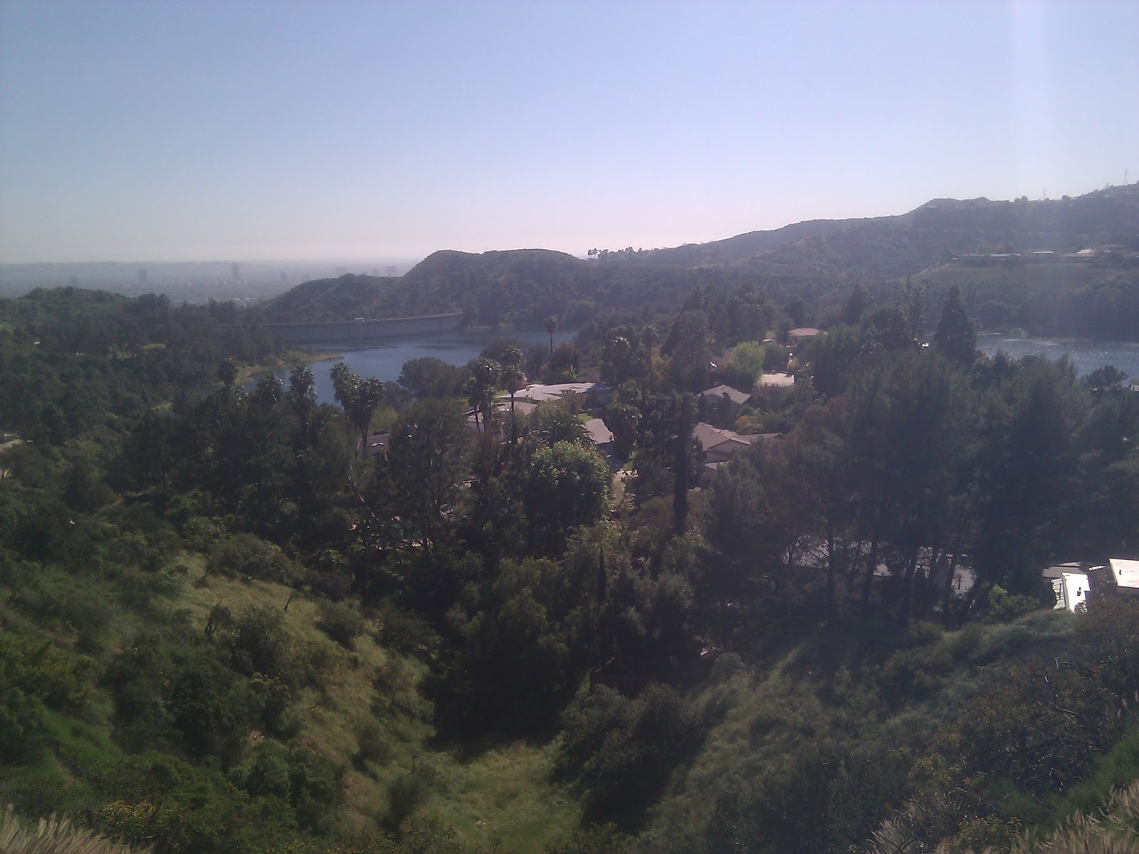
Eventually, we made our way back toward LA, where we would begin to split up. Zac had a flight to catch that evening and I was meeting my friend Katie in Hollywood. After an outstanding sushi feast, we rode up into the hills hoping for a glimpse of the infamous Hollywood sign. We arrived at a great spot, and I made last minute arrangements to meet Katie up in the hills.
 |
| The obligatory ‘Hollywood sign photo’. |
 |
The suburbs just below the sign,
looking toward the metro area. |
 |
| Downtown L.A. |
After Zac, LBK and Emily departed, Katie took me on a private tour of Hollywood and LA. By some small miracle we managed to see a great deal of stuff in a very short time. We drove past all kinds of stuff: Whisky a Go Go, Troubadour, Paramount, Capitol Records, and all sorts of extravagant mansions perched in the hills. That evening Katie took me out for a sampling of Hollywood dining and nightlife. Even though it was a Monday night we still found a few lively places to hang out.
 |
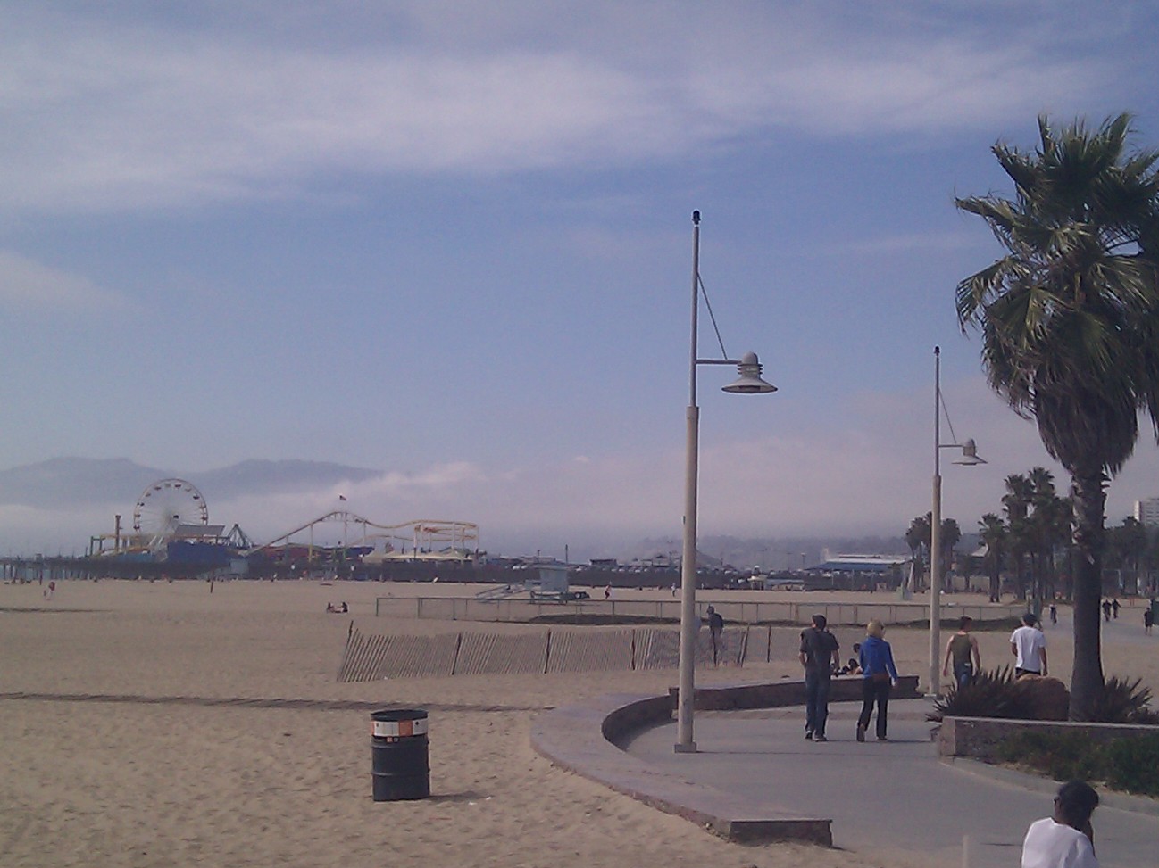
Venice Beach with the mountains rising out of the haze in
the background. (I pretty much home in on them
wherever I go…) |
The next day we headed for the beach! We found parking and strolled from Santa Monica Beach down toward Venice Beach, taking in the eclectic sights: cafés, hippies, ferris wheels, luxurious high rises, body builders, miles of beach, the Pacific Ocean, t-shirt shops, million dollar cars, mountains – if you have time to kill, this is the place to do it! The weather is comfortable and there no shortage of free entertainment: just find a place to relax and take in the view.
After we’d thoroughly enjoyed the weather, the sights, some ice cream and a few beers, Katie dropped me off at LAX for my flight home. Unfortunately, it was about time to get back to work, but after a long weekend rounded out by an ideal mix of activity, relaxation and good company, I was ready for it.
Gear List (click links for more product info):