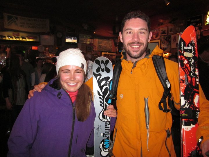
Having cut our teeth on an epic East Coast winter, we decided it was high time for a pilgrimage out west. Early in the winter I signed up for email alerts from Travelzoo. This has turned out to be a great investment. Some time in February, I spotted round trip tickets to Denver for $128!!! (I speculate that the airlines couldn’t fill planes leaving Boston for St. Patrick’s Day weekend, hence the outlandishly low price.)
 |
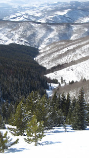
| Our warm-up run |
I bought one immediately, and then started shooting emails off to any one who might have been interested. Two of my ski buddies (and co-workers) Keith and Andrew promptly followed suit. We set about hunting for deals on 4WD rental vehicles and cheap lodging, and in no time the plan began to take shape.
I rolled into work early on St. Patrick’s Day, toting my 80 lbs of ski gear. Not knowing what I might be getting myself into, and not wanting to find myself unable to do whatever I wanted for lack of the right equipment, I loaded up my Expedition Duffel with just about everything: AT gear, Avy gear, race boots, AT boots, my bindings, etc… Quiver Killers for the win here. I was able to bring two huge pairs of skis along for the ride in one ski bag by simply stashing the bindings in by duffel and stacking the skis sans bindings on top of each other and strapping them together.
I got into Denver around 9:30 PM mountain time and booked it to the rental car agency. After proving my credit-worthiness to the sales people and after narrowly avoiding getting dumped with a bright red Ford F-150, I secured a GMC Terrain; a small SUV with AWD , outstanding gas mileage, and a 40/60 split in the rear bench. Keith and Andrew, who had already managed to find each other arrived at the rental agency shortly. We loaded up the car (which turned out to be a perfect size for 3 people and their gear) and continued west.
 |
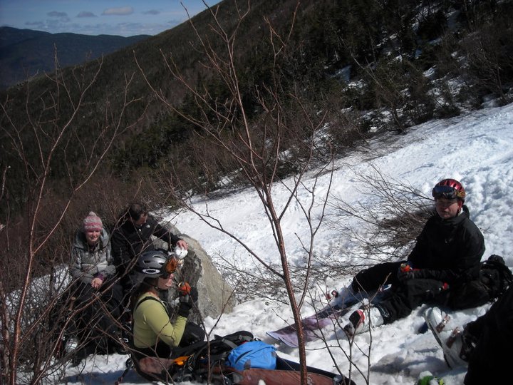
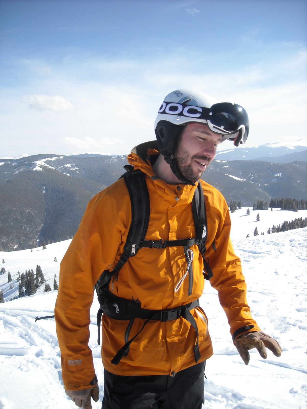
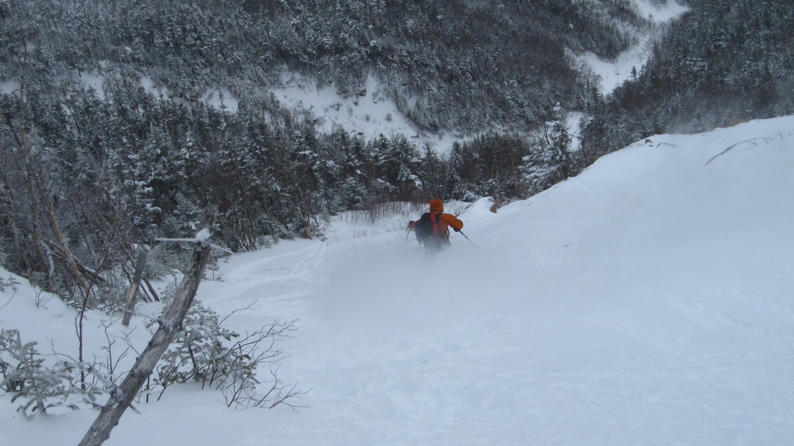
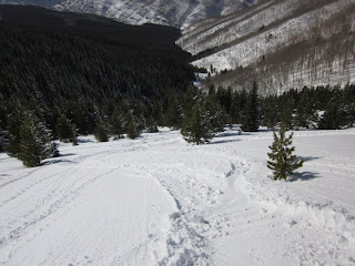
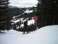
KBert and Ziehl contemplating
the runout |
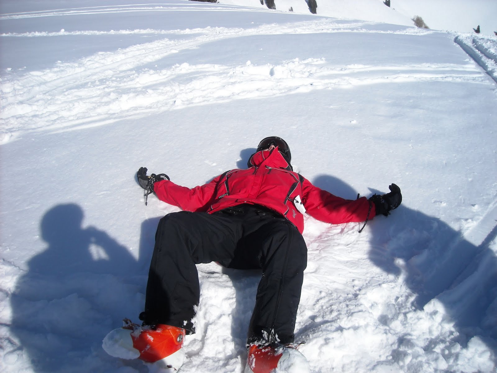
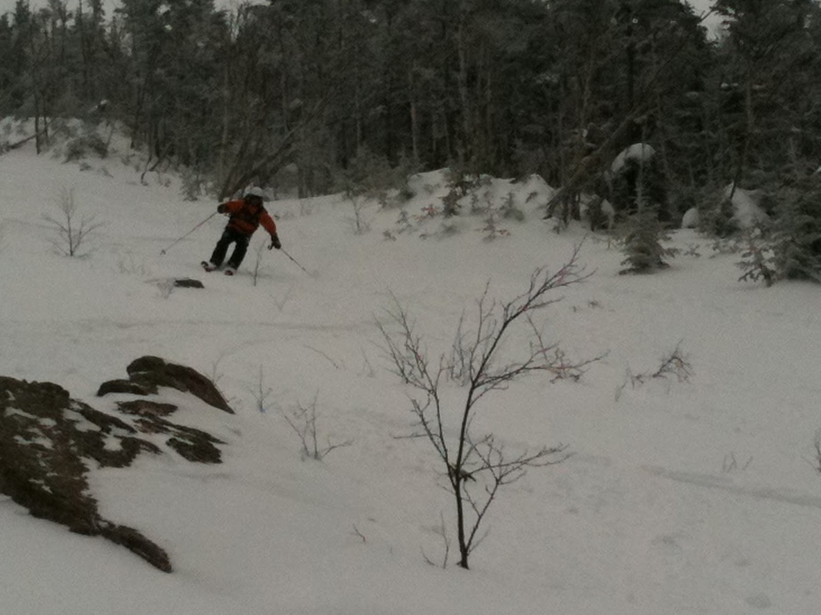
 |
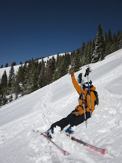
Me, dropping in.
Photo Credit: Abby |
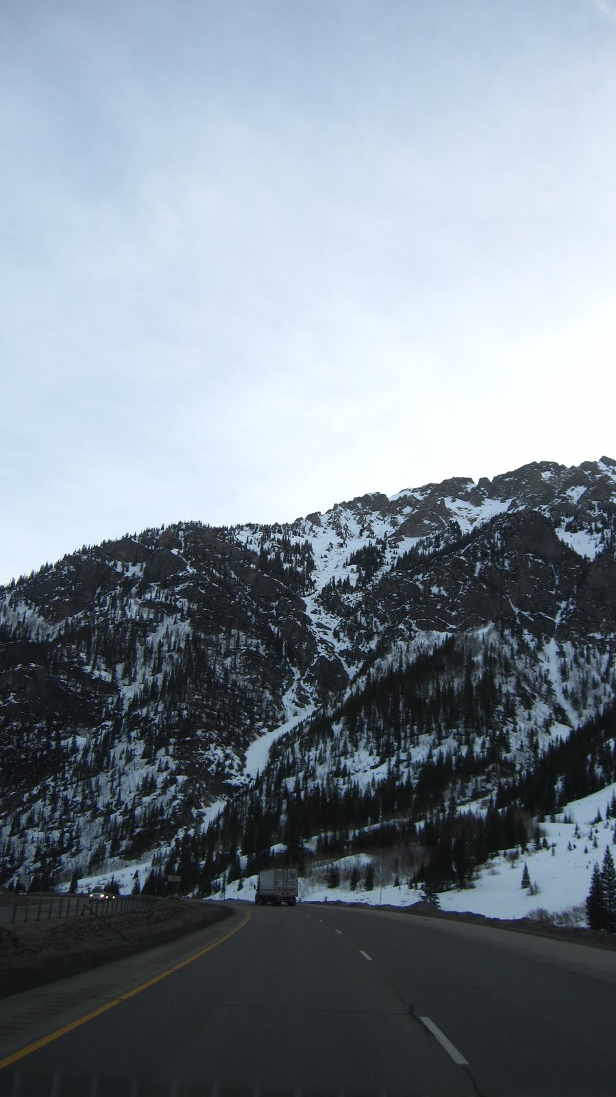
As soon as we found I-70 it started raining. As soon as we got out of Denver and into the mountains it turned over to snow. Our spirits were lifted, but then we remembered the hours of mountain driving that we had ahead of us. It was now around 11:30 PM. As expected the weather steadily worsened as we got into the mountains. We probably averaged 40 mph the whole way with many forays into the 30 mph region. On more than one occasion we were stopped completely by truckers chaining up on the highway. We made a pit stop about half way there for energy drinks and snacks and pressed onward. We waltzed into the Comfort Inn in Avon around 3 AM, unloaded our gear, assembled our skis laid out or thermals and crashed by about 3:30 AM.
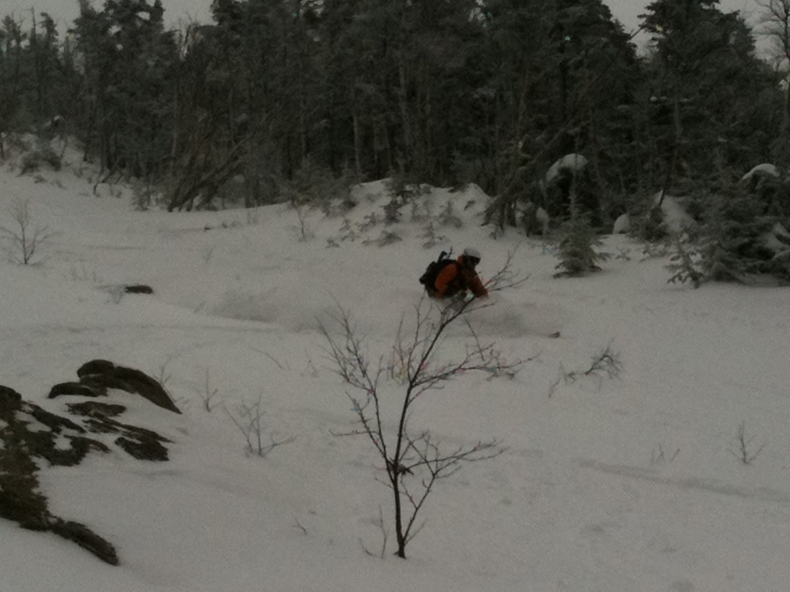
 |
The landing.
Photo Credit: Ziehl |
The next morning we awoke to a fresh foot of snow. The clerk at the front desk who had checked us in the night before was still on duty. We took the complimentary continental breakfast for all it was worth and sped off toward Vail. The sun was shining bright, the wind was low, the air was warm and we were fired up on a potent mix of adrenaline and black coffee. We caught the Lion’s Head gondola just after 8:30 AM.
 |
| Abby sticks the landing. |
 |
| Surveying the Back Bowls! |
From here on we just zig-zagged our way up and down the front side skiing whatever looked good. It was one of those days where you could ski just about everything, which is what we strove to do. Around 10:30 we moved over to the backside for some laps in the Back Bowls and a few more in Blue Sky. We broke for lunch around 1 PM. By now I guess we had skied nearly 15 runs, and the day was only half over. We had beers and hot dogs out in the sun (it was in the mid 50s by now).
 |
| Ziehl plotting his line. |
As we were wrapping up lunch we were met by none other than Abby, on her day off from Vail Ski School. She proceeded to show us all the best skiing on the mountain, including a number of places we’d never have found on our own. I had all I could do to keep up with her. God only knows how many more laps we took before 4:30, but we were pretty beat.
 |
| Ziehl dropping in! |
 |
| Keith follows suit… |
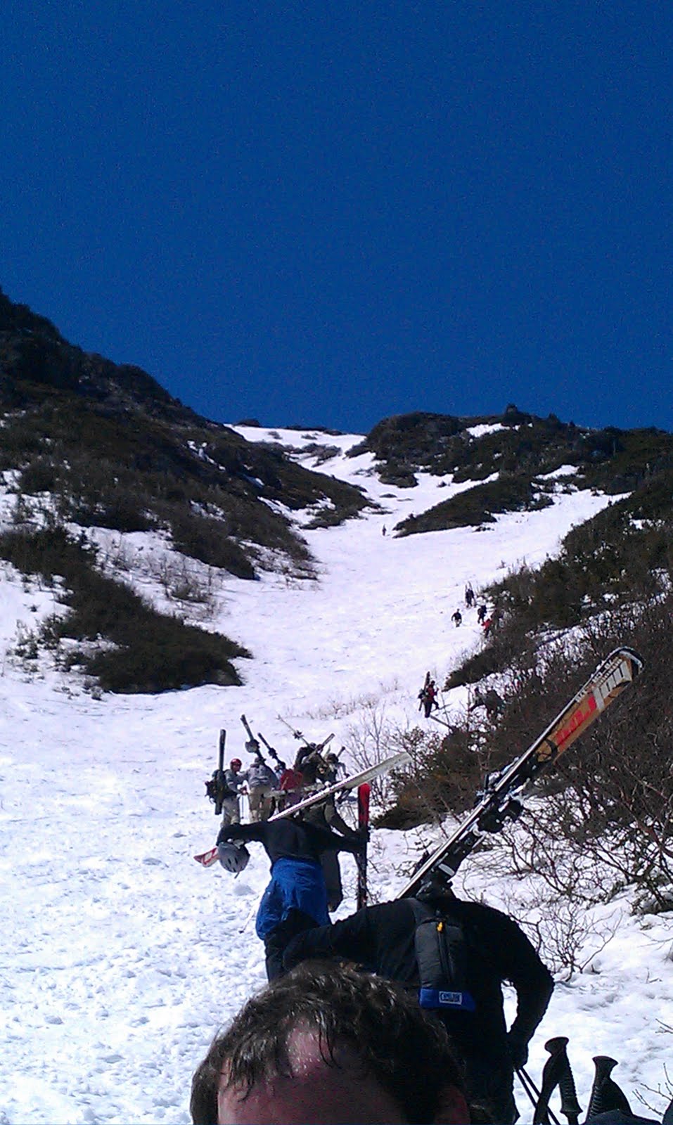
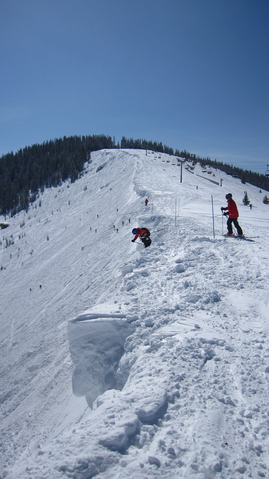
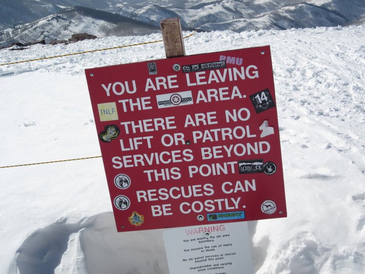
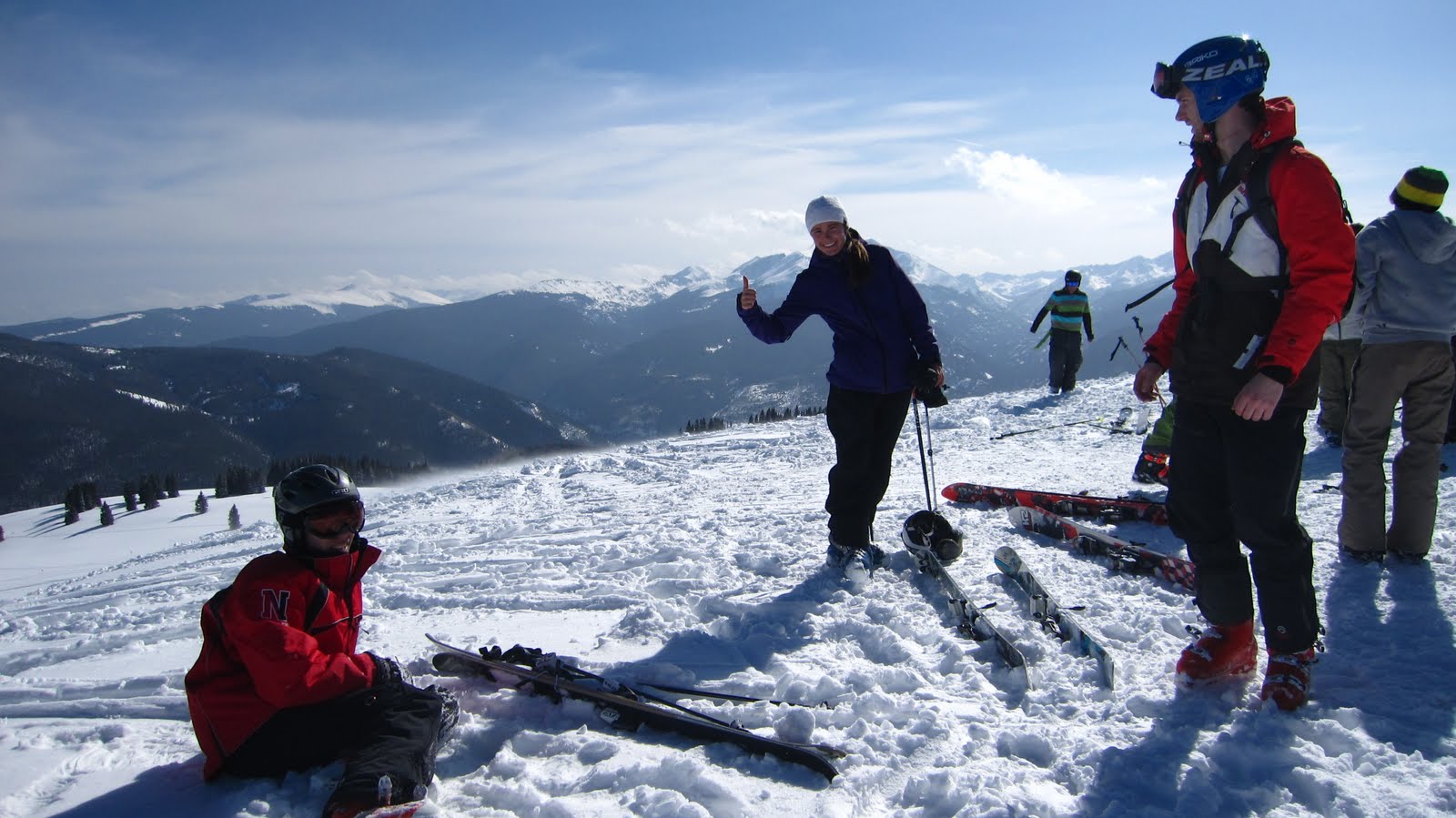
At this time we mustered the remains of our energy (and then some) and followed Abby back to the top of the mountain for one last run: The Minturn Mile. From the top of the lift, we clicked out of our skis and followed her uphill and away from the ski area. The walk was maybe three quarters of a mile and a few hundred vertical feet. We arrived at the summit to find a maybe a dozen likeminded skiers and boarders enjoying a few PBRs in the afternoon sun. We rested, snapped a few photos and followed Abby down the shoulder of the mountain.
 |
| The walk up. |
 |
Some much needed R&R at the summit!
Photo Credit: Abby |
 |
The ominous exit to the ski area.
Photo Credit: Abby |
 |
More chillin’…
Photo Credit: Abby |
 |
Some serious chilin’…
Photo Credit: Abby |
 |
Perplexed and sunburned?
Photo Credit: Abby |
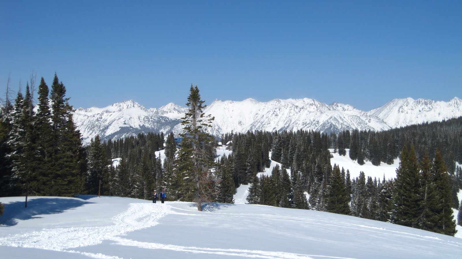
After skirting our way around some crust and crud we were greeted by miles of mostly untracked mid-angle meadows and glades. This was something special. It was clear that people had come this way recently, but compared to the ski area proper, this place was pristine. We cruised through wide open meadows which, over the course of maybe a mile and a couple thousand vertical feet, eventually emptied into the bottom of a valley. We followed the floor of the valley as it wound it’s way down from the mountain and back towards civilization, taking breaks as needed.
 |
We followed this valley
away from Vail, to Minturn. |
 |
Pretty good snow conditions for 5 PM on a powder day…
Photo Credit: Abby |
 |
That was us…
Photo Credit: Abby |
 |
A quick breather.
Photo Credit: Abby |
After a grand total of maybe 4 miles we careened out of the woods behind a neighborhood, practically landing in the street. We once again clicked out, shouldered our skis and follow our expert guide down the streets of Minturn. In another 20 minutes or so we found ourselves at the front door of some exceptional looking cowboy bar, complete with louvered doors. A tattered poster advertises a $20 wax and tune to be completed while you eat! I was mildly concerned about leaving my skis unattended my skis while I imbibed, until I got through the front door, where I was pleasantly surprised to see a good 200 pairs of skis piled in the corner of the establishment, apparently left there by the numerous patrons drinking in their ski boots. I was instantly convinced that we had arrived at the best possible place to conclude our epic day.
 |
Best ski bar possible…
Photo Credit: KBert |
We immediately parked ourselves at the nearest booth and ordered up a round of the triumvirate of apres ski beverages: water, local micro brew and black coffee. It was now close to 6 PM, we’d skied maybe 25 runs on 3.5 hours sleep to say nothing of the jet lag or altitude. We feasted on bar food (KBert’s treat – thanks dude!), and mulled over the activities of the day. We concluded that even if we were unable to find another enjoyable run for the rest of the trip, that day alone made the whole thing worth it. We ate, drank, caught up and then hitched a ride in an Escalade back to the car and finally to Avon. Day one: epic.
 |
| Smorgasbord! |
Days two and three weren’t powder days, but Abby hooked us up with heavily subsidized tickets and we had left a good portion of the mountain unexplored. After a solid 9 hours of sleep, another hearty complimentary continental breakfast and a short drive, we were back on the mountain. With no fresh snow, we decided to warm up on cruisers – we spent the first few hours of the day racing around blues at top speed. We found the long wide, cruisers of the west well suited to our east coast GS turn tendencies.
 |
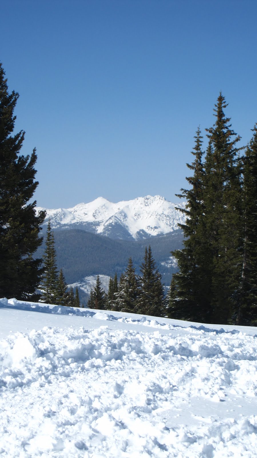
Scoping things out…
Photo Credit: Ziehl |
After more than a few shady looks from ski patrollers stationed near slow signs, we reasoned that it might be time to head for greener pastures. We found the Back Bowls and Blue Sky to be chopped up and crusty from the previous day’s action so we went in search of woods. This turned out to be an excellent decision. Vail is riddled with tree runs of every variety: tight, open, steep, mellow; you name it. If you just look around, your virtually guaranteed to find tracks leading into the woods. We worked laps in the Game Creek Bowl for most of the afternoon. It was skied off, but soft by our standards and we enjoyed every minute of it.
 |
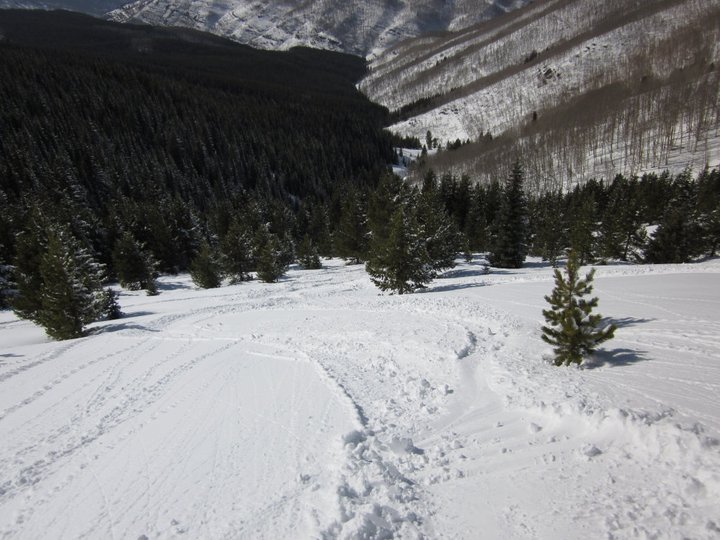
Ziehl has a look at the situation.
Photo Credit: KBert |
We returned to Avon, thoroughly parched and pretty darn hungry as well. We found a bar within walking distance of our hotel and moseyed our way over. Despite snagging a table situated for eight, we somehow managed to order so much food that we needed to put a few items on one of the extra chairs. Then we polished it off and washed it down with a pitcher of micro brew.
We stocked up on Clif Bars and sandwich materials at the local grocery store, nabbed a case of PBR tallboys for $9.99 and poured ourselves into the hot tub for some R&R. Day two: great success.
 |
The view from the bottom.
Photo Credit: Ziehl |
Day three was more of the same: fast laps on cruisers all morning followed by an afternoon hunt for soft snow (and even some freshies!) in the vast woods. We managed to find a number of exciting and semi technical lines to ski around midday, when it became soft enough to work with. We met up with Abby once more, and wrapped up the day drinking ales in the afternoon sun at the bottom of the mountain. Day three: can hardly complain.
Day four, like so many final days of outstanding trips was bittersweet. We packed our gear the previous night so that we could be ready for an early start toward Arapahoe Basin. We were excited to get a good look at the land in the light of day, and to experience this untamed beast known as A-Basin, but we were ultimately heading back toward Denver and the east coast and it pained us to be leaving this land of great weather, epic skiing, delicious beer and good company. But we had a full day of skiing ahead of us so it wasn’t that bad.
 |
| A-Basin from the lift. |
 |
| Approaching A-Basin. |
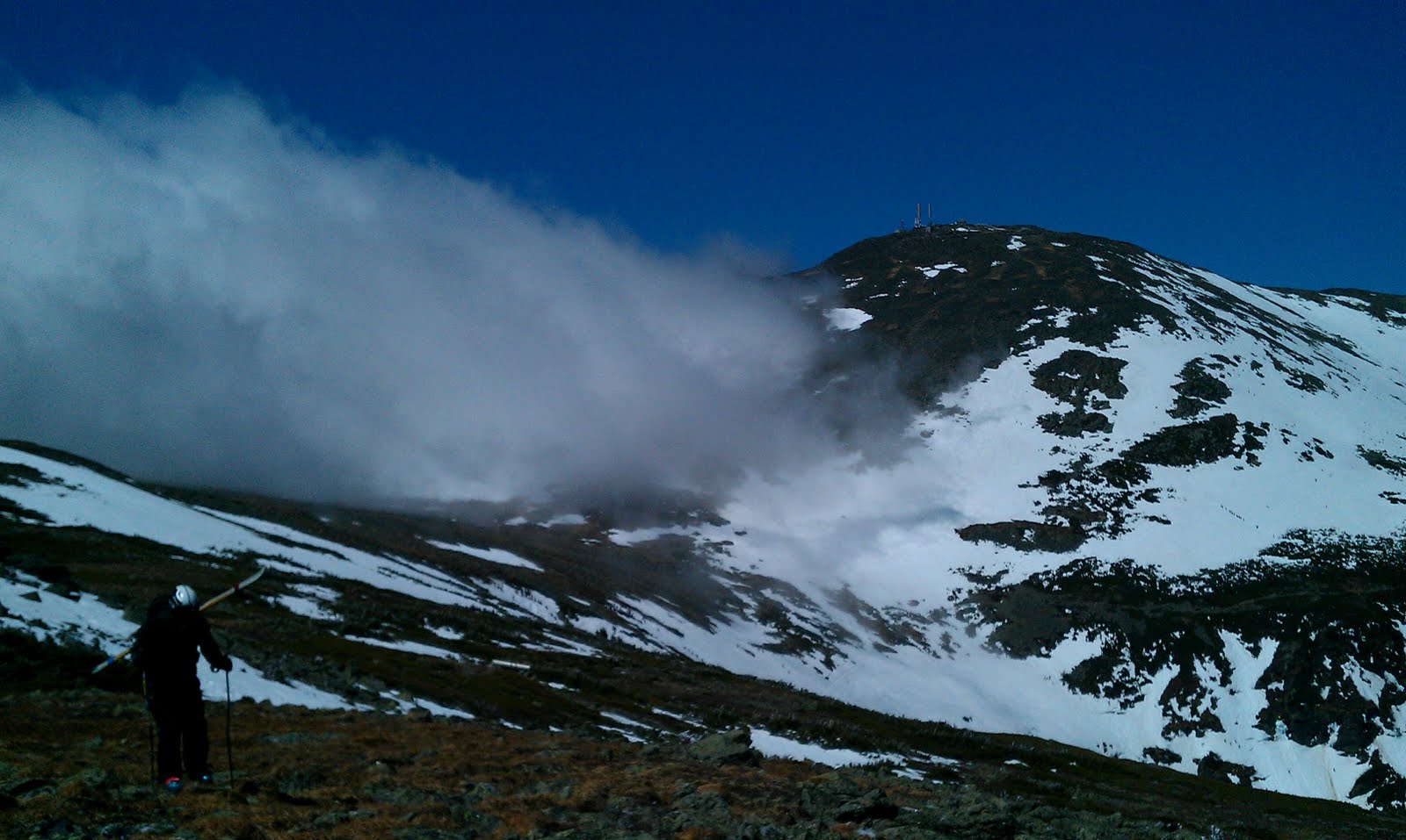
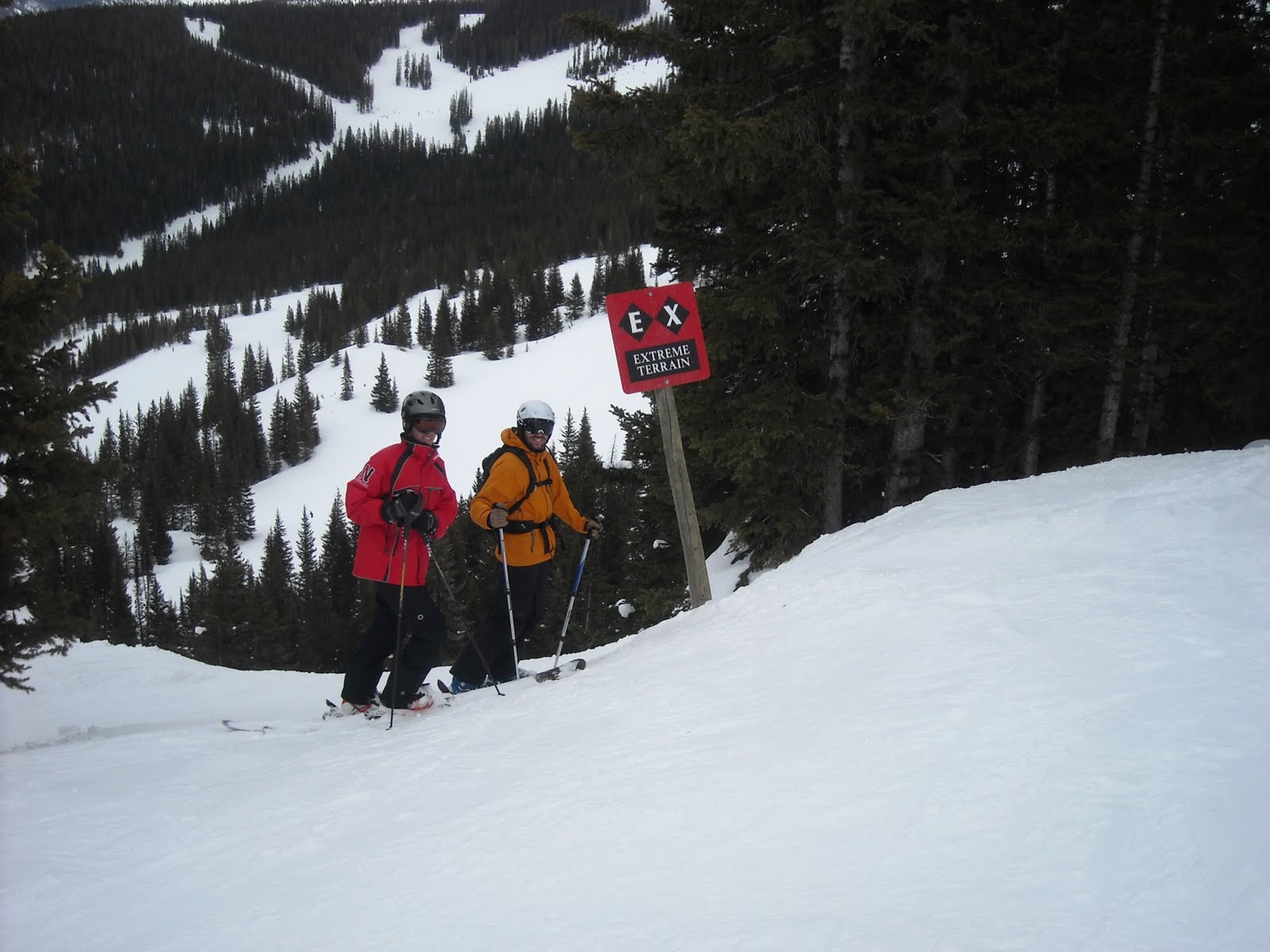
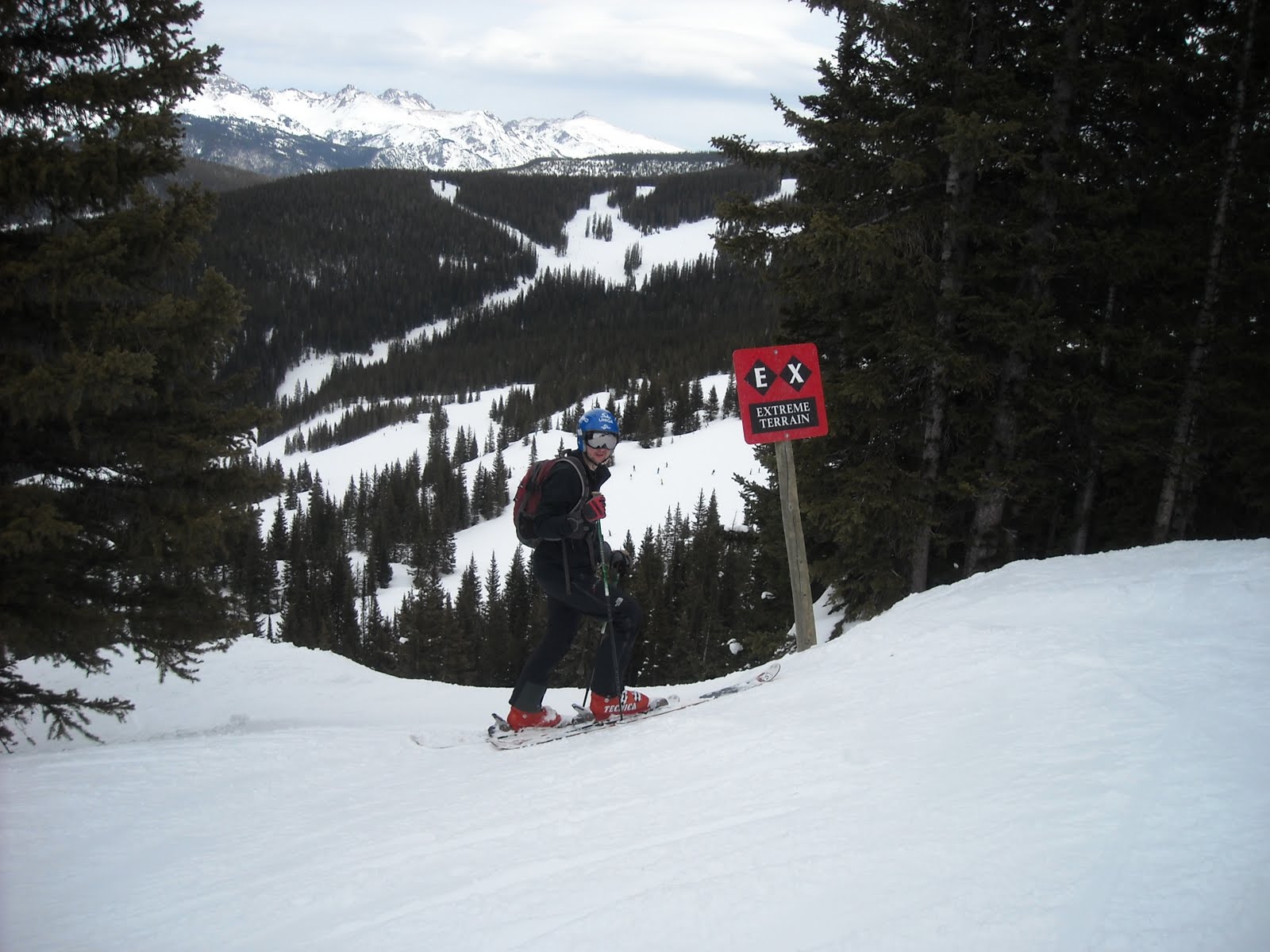
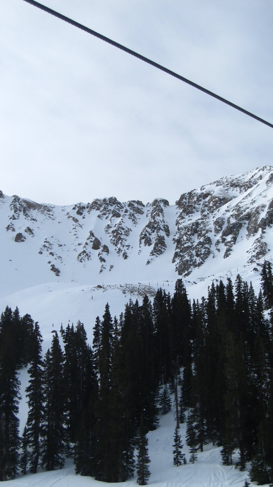
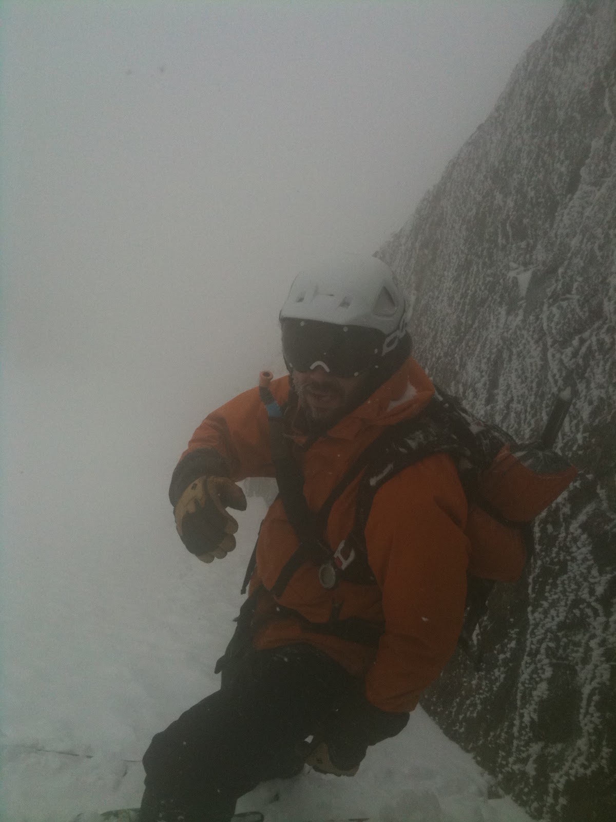
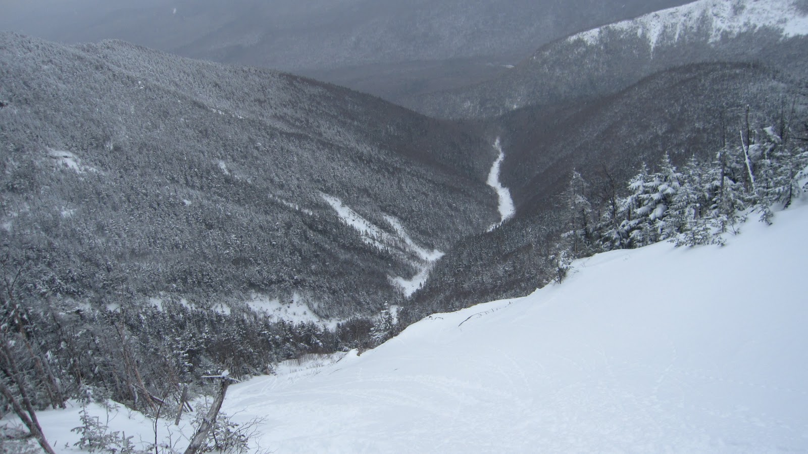
A-Basin is gnarly. If I had to sum it up succinctly, I’d characterize it as the Cannon of the west. They spin only a few rickety lifts, it’s got a bit of a run down, blue-collar feel to it, the wind is trying it’s hardest to peel the skin off of your face at all times, the patrollers are grizzled and surly looking (but they were actually pretty friendly) and the terrain…let’s just say that it takes no prisoners. A real skier’s mountain. No fur boots, no matching ski ski outfits, no neon onesies, no gapers really of any sort. In fact, we witnessed some true excellence at this place. The highlight was almost certainly the gang of 3 tele skiers who blasted off an exposed 15 foot drop high on the mountain, landing on what was most likely a wind crust and proceeded to rip huge GS-radius turns switch back down to the lift. On tele skis. We were among people who took their skiing very seriously.
 |
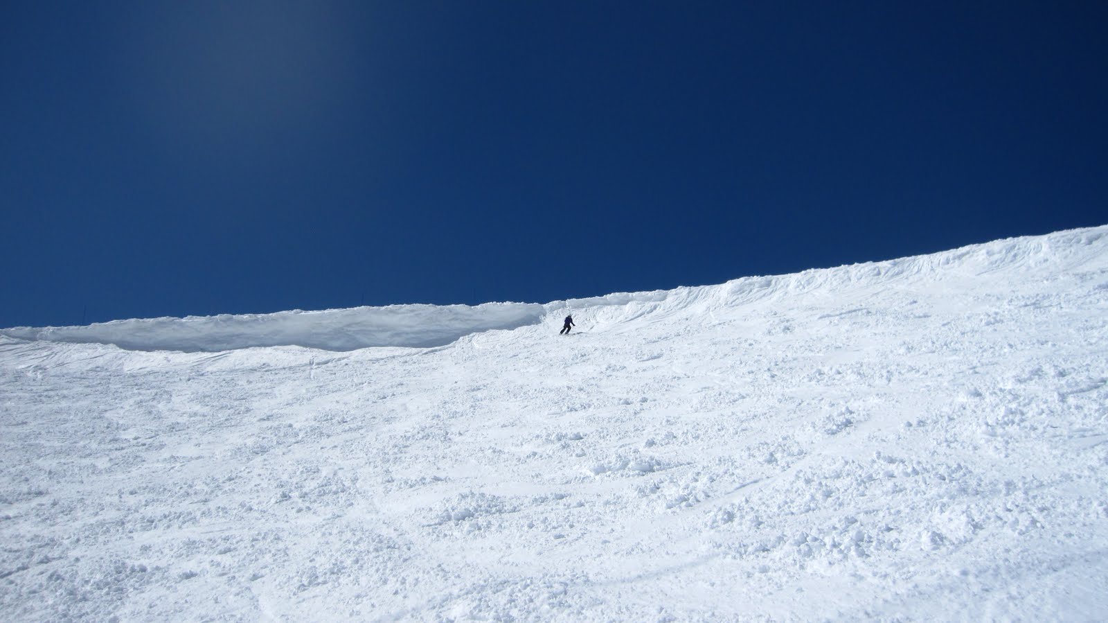
Loveland Pass from the
East Wall |
 |
The traverse leading from the lift
served part of the ski area. |
 |
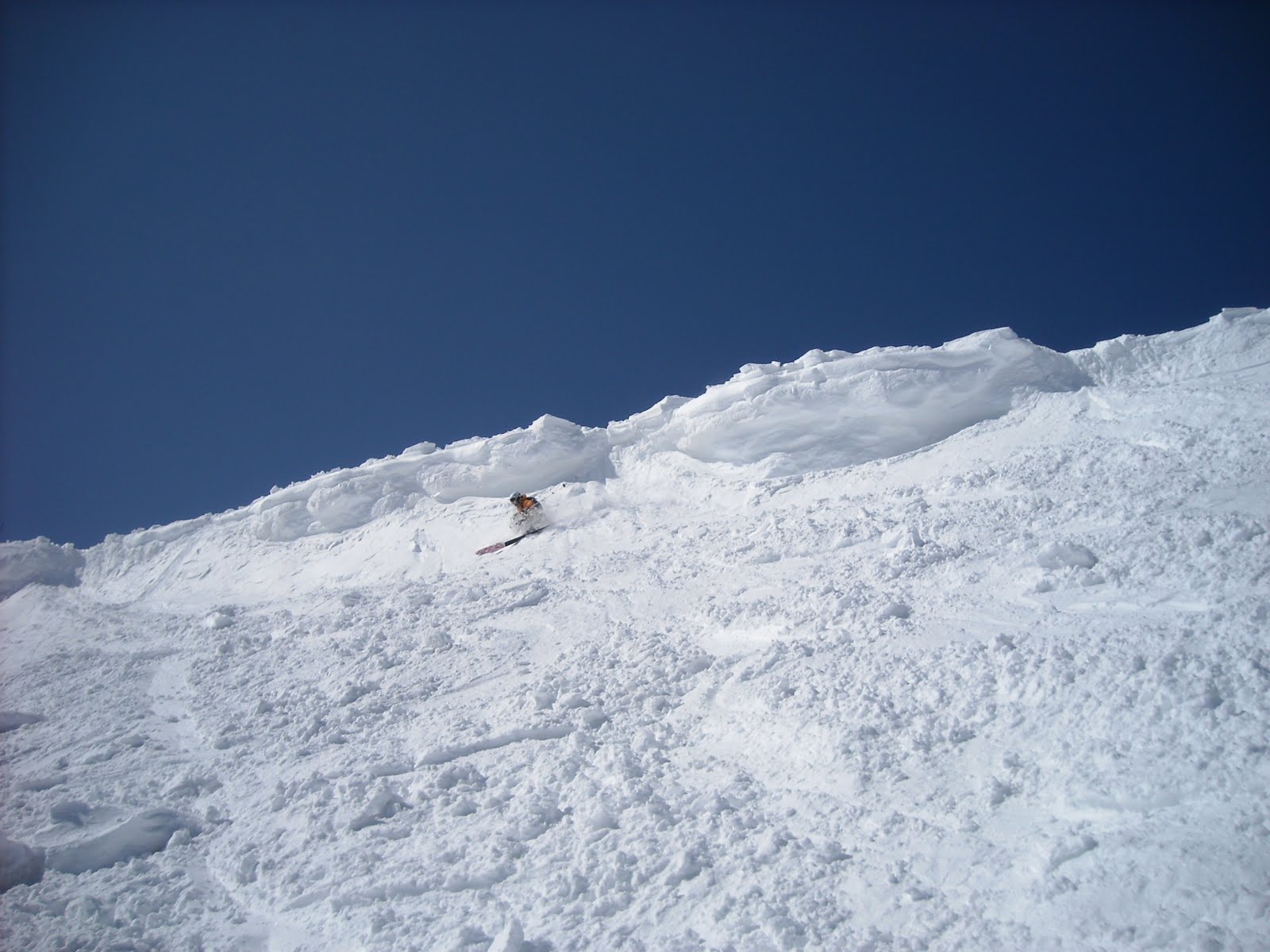
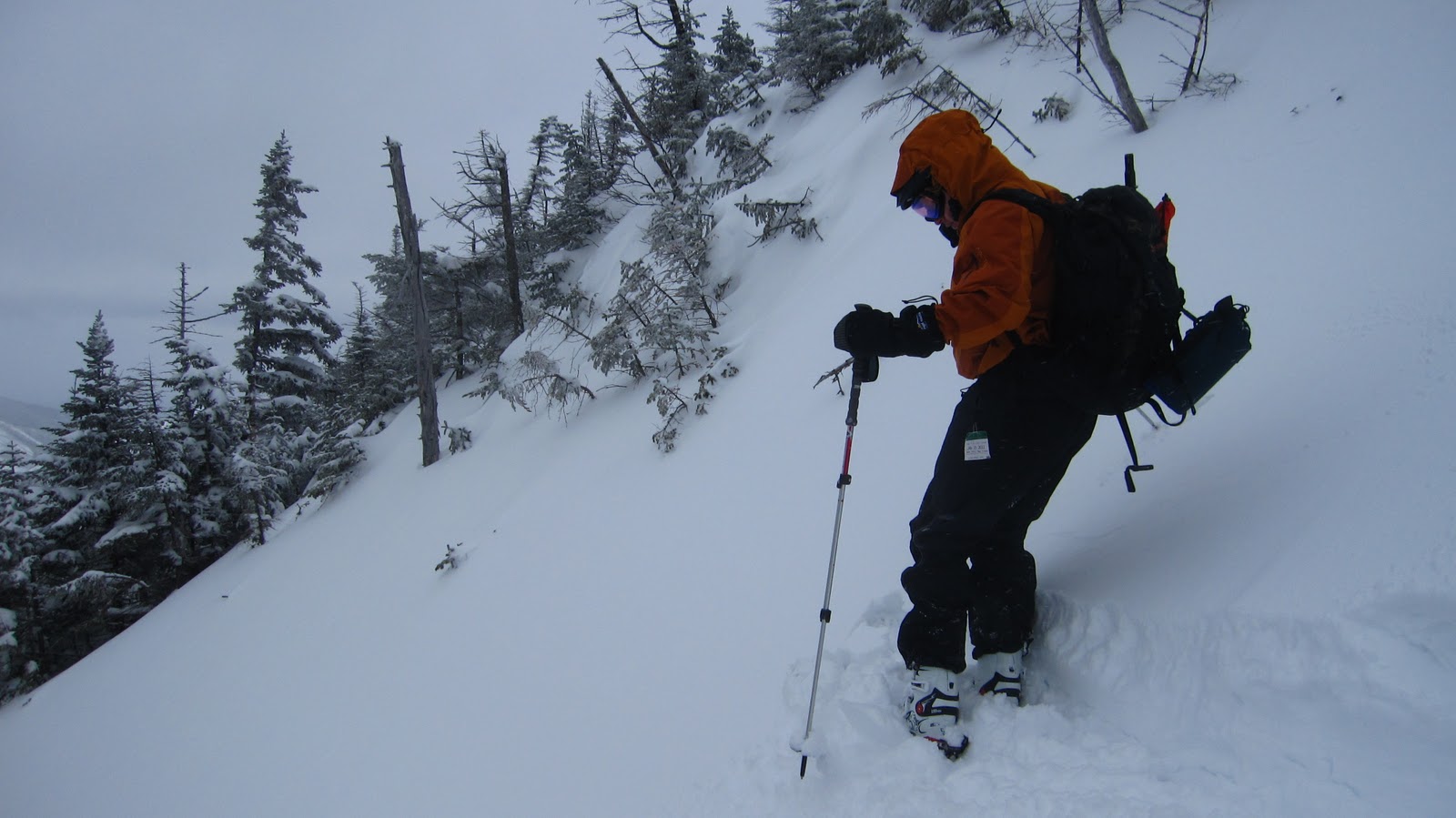
KBert adopts my ‘throw caution to
the wind’ approach
to skiing and heads for the East Wall |
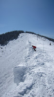
We went with our tested strategy of the last two days – rip big fast turns on groomers until things soften up and then go looking for trouble. One thing that stuck me about skiing out west, is that due to the scale of everything (the runs, the mountains, and landscapes), you don’t realize how much ground your covering. In the east everything is so much smaller that it can be easily observed to change size and perspective as you move about the mountain, but especially at A-Basin, I was discovering that I was quickly approaching highway speed without even realizing it.
 |
A close up of
the Pass. |
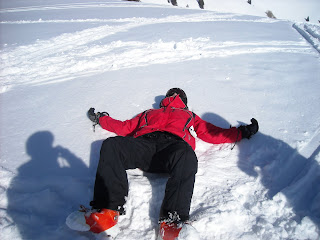
 On one hand this was great – we were just racing around the mountain without a care in the world. On the other hand this was sort of problematic – we were racing around without a care in the world. It might have been in my best interest to have just a few cares in the world including some of the huge orange slow signs in certain places. As we were on our way to lunch, I was approaching a relatively large roller at decent speed. Hoping to avoid going into high orbit upon hitting it, I speed checked a bit, aimed for the shoulder and tried to suck it up with knees. I managed to stay in contact with the ground, but somehow carried so much speed down the back of it, that as I transitioned from the back of the roll to flat part of the slope I double ejected, did a few cartwheels and came to rest a good 100 yards from the scene of the accident. Or something like that; it’s actually hard to say exactly because it was so quick, and all the Keith or Ziehl could see was a cloud of dust where I crashed. Anyhow, definitely time for lunch.
 |
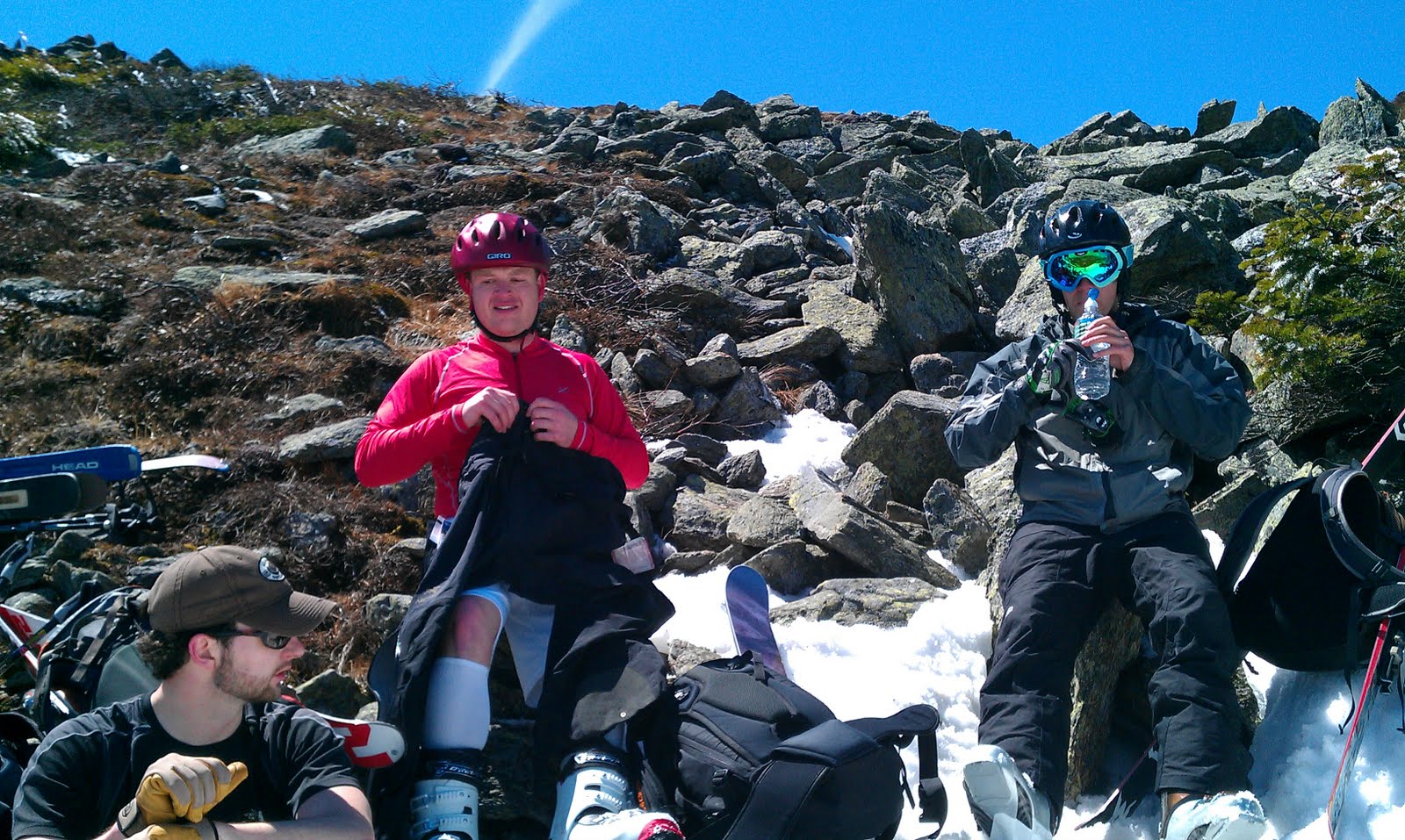
Field repairs.
Back in action! |
We strolled into the mid-mountain cafe and were all set to feast on buffalo stews, briskets, tips etc… all for less money and in larger portions than the equivalent at Vail, when I realized I had injured myself. I pulled my glove off to find my middle finger swollen and covered in blood. Apparently from my recent wreck. Fortunately, the manager of the cafe also happened to be a crack first aid specialist, and she handily patched me up. To calm my nerves, and to wash down the buffalo brisket, Ziehl and I decided to swing by the bar where we were thrilled to discover that they were serving drafts for $5 and the default size was 22 oz. I reiterate: this place is gnarly.
 |
Of course no road trip is complete without a few shots
from inside the car during the ride…
Photo Credit: Ziehl |
 |
More from the car…
Photo Credit: Ziehl |
 |
The exceptional view…
Photo Credit: Ziehl |
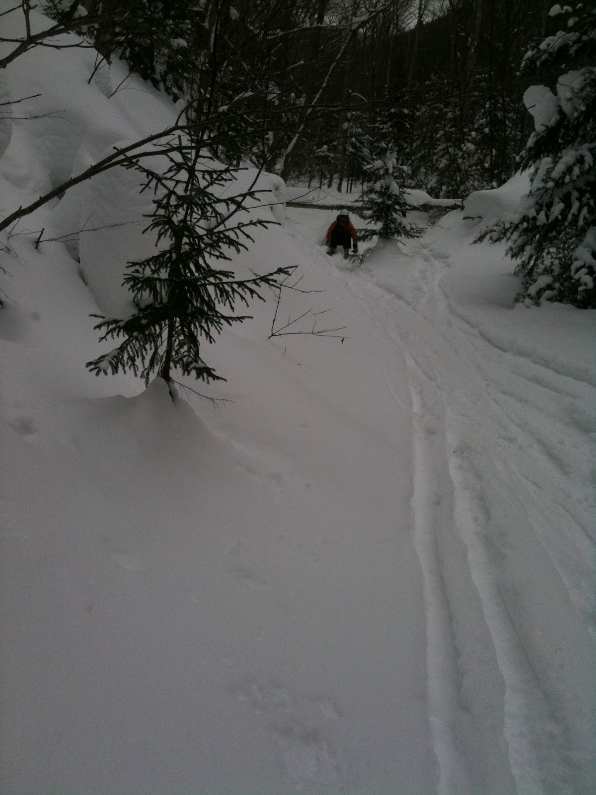
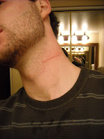 |
Ziehl has a close shave
in the woods. |
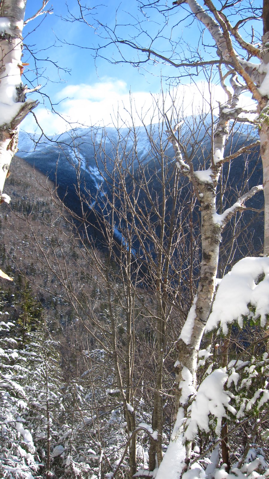
With regained strength (brisket) and regained confidence (22 oz. micro brew) we sallied forth in search of more crazy runs. Our first target was the east wall. The upper mountain was closed down due to wind, but we managed to get a good taste of it by traversing across from mid-mountain. Even the lower parts of the east wall are huge, with plenty of room to make big fast turns in soft snow. Photos and video don’t due justice to the size of places like this. We missed out on the most technical and challenging runs, but were glad to have at least checked out the area. We bagged a few glorious photos and videos on the way out.
 |
Towns off of I-70.
Photo Credit: Ziehl |
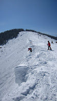
Unfortunately, at this time we suffered another casualty. In another high speed wreck, Ziehl snapped his trekking pole in half. Fortunately I had duct tape at the bottom of the mountain, so with the help of some deadfall scavenged out of the woods, we had it splinted and ready for action within 20 minutes. For the rest of the afternoon, we skied some of the tightest and steepest trees we’d found all week. With some extensive travel ahead of us, we packed up early (around 3 PM) and hit the road toward Denver.
 |
A frozen waterfall with old
mining equipment in the
foreground.
Photo Credit: Ziehl |
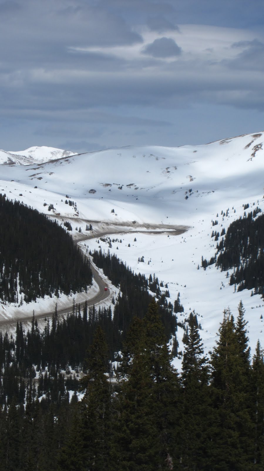
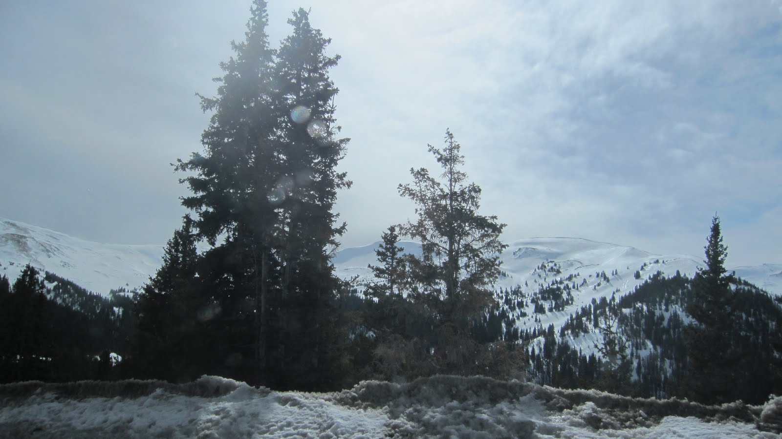
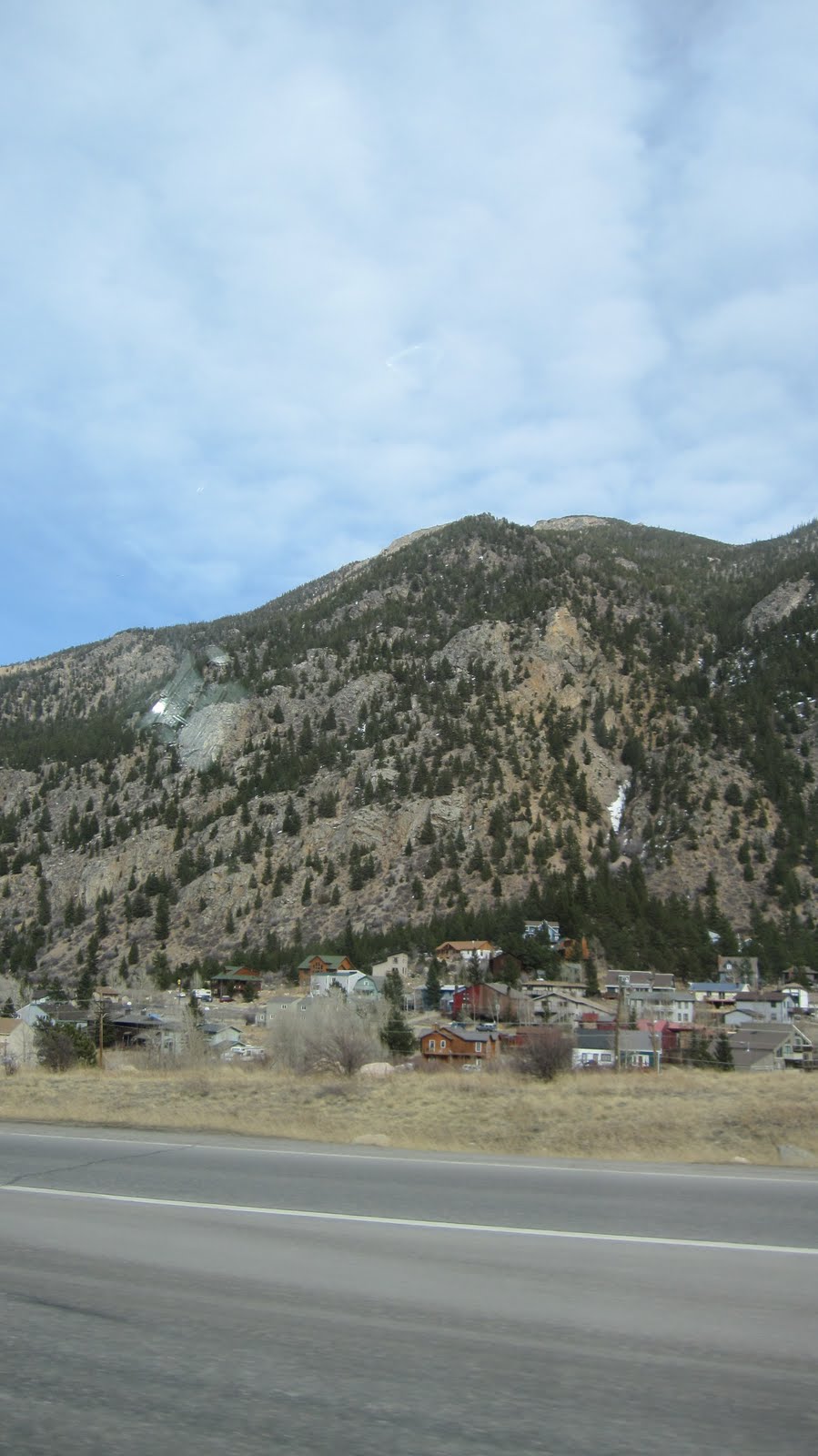
The notion of going home was naturally a serious downer, but in the aforementioned bittersweet fashion the ride from A-Basin back to Denver via the stunning Loveland Pass was nearly as fun as the skiing. The pass winds upward, thousands of vertical feet over the continental divide. The snow banks in some places were taller than trailer trucks, and the views were incredible in all directions. Great potential for backcountry skiing exists in this area, and indeed skiers were out making laps in the warm spring conditions. With so many switchbacks, it’s possible to take two cars, and leave one at the top and one at the bottom as you ski in the some of the coolest looking terrain I can imagine. With the trip essentially at it’s end, we tried to enjoy the scenery and unique mountain towns lining the sides of I-70 on the ride back to the airport. KBert caught an evening flight out of Denver back to Baltimore, while Ziehl and I crashed on the floor of the airport and awaited our 6 AM flight back to Boston. Day four: ski-catharsis. We pushed ourselves nearly as hard as we could have for four days in row and had a blast the for the whole ride.
In summation, Colorado rocks.
Gear List (click links for more product info):