Tag Archives: White Mountains

Snowliage

There, I’ve said it: snowliage.  That’s precisely what it was, and why we were there.  We saw some pretty ripe leaves, some frosted peaks, and some blue skies and generally spent some quality time in the mountains getting stoked for the snow season!  Eye candy was produced in abundance.

Tucks and Lion’s Head Trails

The objectives were two fold: peep some leaves and get in another more pre-season conditioning climb up a big mountain.  The weather was essentially horrendous, with visibility approaching nil at the summit and winds gusting in the 60s, to say nothing of the driving rain.  Despite the inclement weather I was rewarded with a few glimpses out of the Ravine and across the Notch.  These are the ones that made the cut:

Fall Fun

A few weekends ago, Ziehl, his friend Annelise and I headed off to the Sandwich Range for a short hike and some ski recon.  We decided to tackle Osceola and see if we could get a close look at the slides running down toward the Kanc on the North face of the mountain.  The ski recon turned out to be a total flop: once at the top, we found ourselves totally socked in with only 100′ or so of visibility.  We could probably have bushed-whacked to the slides using Backcountry Navigator for bearings, but the undergrowth was so thick and the visibility so poor that we scrapped that part of the itinerary.  We would have had to trample all sorts of alpine plants and probably still not get a great look at the objective.  The rest of the hike was pretty nice though, and Ziehl documents it here.

View Osceola Southern Approach in a larger map

After the hike, we decided to have some fun with my GoPro by mounting it in the windshield of my car for our exit from south side of Osceola via Tripoli Road.  Tripoli Road is a windy mountain road which snakes through Thornton Gap.  The road is seasonally closed, and is mostly unpaved.  It’s a quintessential New England backcountry road.  We aimed the GoPro out the window and set it to fire a single still shot once every 2 seconds.  While less than perfect, there were a few nifty shots in the bunch.  Here’s the best of the lot…

Gear List (click links for more product info):

Buy GoPro HERO Camera at GoPro.com

Mt. Osceola Ascent

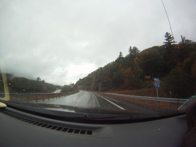
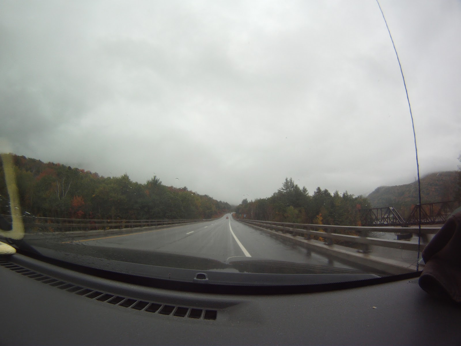
Two weeks ago I got some more fall hiking in with Annelise and Sweeney.  This time our goal was Mt. Osceola from the Waterville Valley side.  Sweeney drove up and we got underway pretty quickly.

Heading out.

Heading out.

The visibility was poor, and it was spitting rain, but we had a fun ascent up slabby rock, chatting as we went.  There isn’t a good way to make a loop out of it less than 10 miles, especially after Irene tore up some trails to the east.  Because of this, we  planned to double back the way we’d come.

At first we thought this pylon was the peak...with no views to be had.

At first we thought this pylon was the peak…with no views to be had.

Supposedly on top of the mountain are good views–on any other day that would be true.  There is a great outlook ledge where old fire tower pylons remain.

Not much to see here today.

Not much to see here today.


Posing in front of the spectacular view

Posing in front of the spectacular view

We were on a peak after all.

We were on a peak after all.

Sweeney had been hoping to scout out some slides in the area, but we forgot to mark a waypoint before the hike, and with the poor visibility, rummaging through brush didn’t turn up anything interesting.

Obligatory foliage shot

Obligatory foliage shot


It's definitely fall in NH.

It’s definitely fall in NH.

Sweeney has a couple more photos from the trip, so hopefully you’ll see an update on his site soon.  All the photos you see here are credit to Annelise.

Trip data including a bit of driving to the trail head:

[sgpx gpx=”/wp-content/uploads/gpx/tripyramid.gpx”]